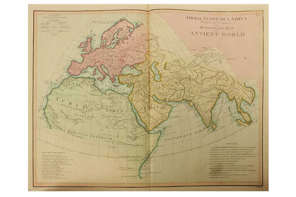
ANVILLE, Jean Baptiste Bourguignon d' (1697-1782). Atlas générale . Paris: d'Anville, 1772 or later].
ANVILLE, Jean Baptiste Bourguignon d' (1697-1782). Atlas générale . Paris: d'Anville, 1772 or later]. 2° (572 x 424mm). 46 double-page engraved map sheets only (of a possible 53), hand-coloured in outline, some also folding. EXTRA-ILLUSTRATED with an engraved 1769 canal map by James Brindley an engraved military map of Charleston in South Carolina, 1780, and a letterpress 'Table chronologique des rois de Pologne', 1760, on 2 double-page sheets. (Occasional waterstains, mainly at upper margins, a few light creasemarks.) Contemporary half calf over marbled boards, spine gilt in compartments, gilt morocco lettering-piece in one, applied gilt morocco oval cartouche with Mansfield crest in upper compartment, uncut (rather worn). Provenance : Earls of Mansfield (crest on spine). D'Anville's Atlas générale was issued from about 1740 onwards, without a title-page and with considerable flexibility in its composition. This copy has a rare and helpful engraved list of 'Cartes Géographiques de M. D'Anville, prémier géographe du roi, aux Galeries du Louvre, rue de l'Orbie' (354 x 211mm), preserved on the front pastedown. At the foot of the map list itself is a list of available books by D'Anville, including L'Empire Turc et l'Empire de Russie dated 1772. A first or early owner has numbered the map sheets in ink and indexed them against those advertised. The tally of 46 sheets out of a possible 53 shows this copy to be without one of 3 sheets for 'Afrique'; one of 3 sheets for 'Amerique Septentrionale', one of 3 sheets for 'Inde', 'Golfe Persique' on one sheet, 'Partie occidentale de l'Afrique' on 2 sheets; and a half sheet of the 'feuille et demie' for Louisiana. These sheets were not present when the atlas was numbered, and it seems doubtful that they were ever included. D'Anville's maps of France and of French colonies outside North America are not included either in the cartographer's list or in the atlas itself, though they do appear in earlier versions and are listed by Phillips. Brunet I, 337; cf. Phillips 572.


.jpg?w=400?width=1600&quality=70)
Testen Sie LotSearch und seine Premium-Features 7 Tage - ohne Kosten!
Lassen Sie sich automatisch über neue Objekte in kommenden Auktionen benachrichtigen.
Suchauftrag anlegen