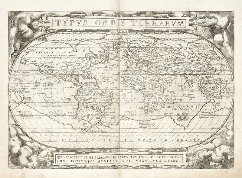
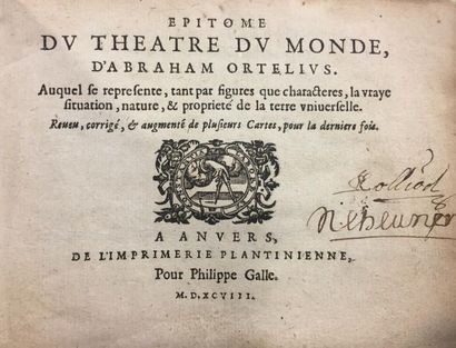
ORTELIUS, Abraham. Theatre de L'Univers contenant les cartes de tout le monde. Antwerp: Christopher Plantin for the author, 1587.
ORTELIUS, Abraham. Theatre de L'Univers contenant les cartes de tout le monde. Antwerp: Christopher Plantin for the author, 1587. 2 o (457 x 300 mm). Engraved title-page, engraved portrait of the author and 112 double-page engraved maps (the map of America inserted from another shorter copy), ALL COLORED IN A CONTEMPORARY HAND, the recto of the map of Perusini with pasted overlaid text, hand-colored initials. (Some occasional light spotting, world map with color retouched, minor discoloration or browning to some maps, tiny holes to a few maps.) Contemporary Dutch vellum, central gilt coat-of-arms surrounded by gilt panel and gilt arabesque corner-pieces, edges gilt (slight soiling and wear to edges). Provenance : Parma (coat of arms of an unidentified family on sides); Count Filippo Linati (1757-1837) collector of books, minerals and fossils in Parma, Italy, descended from an influential family in the ducality and leader of the provisional government of Parma after the uprising in 1831 (bookplate). Third French edition. Several editions were printed at the Officina Plantiniana at the end of the sixteenth century and from 1585 Ortelius began to include historical maps in a section called "Parergon." This edition includes new maps of the World, America and Artesia. The map of America is printed from Ortelius' third plate, with his imprint and date "1587" and eliminates the bulge to the southwestern coastline of South America. Originally published in 1570 with 53 maps, this French edition is extended to 112 maps. "The publication of this atlas [the 1570 first edition] marked an epoch in the history of cartography. It was the first uniformly sized, systematic collection of maps of the countries of the world based only on contemporary knowledge and in that sense may be called the first modern atlas" (Tooley). See previous lot. Burden 64; Koeman III Ort 22; van der Krogt IIIA-31:331; Shirley 122; Tooley Maps and Map-Makers p.29. A FINE HAND-COLORED COPY, IN A CONTEMPORARY BINDING.
.jpg)


Testen Sie LotSearch und seine Premium-Features 7 Tage - ohne Kosten!
Lassen Sie sich automatisch über neue Objekte in kommenden Auktionen benachrichtigen.
Suchauftrag anlegen