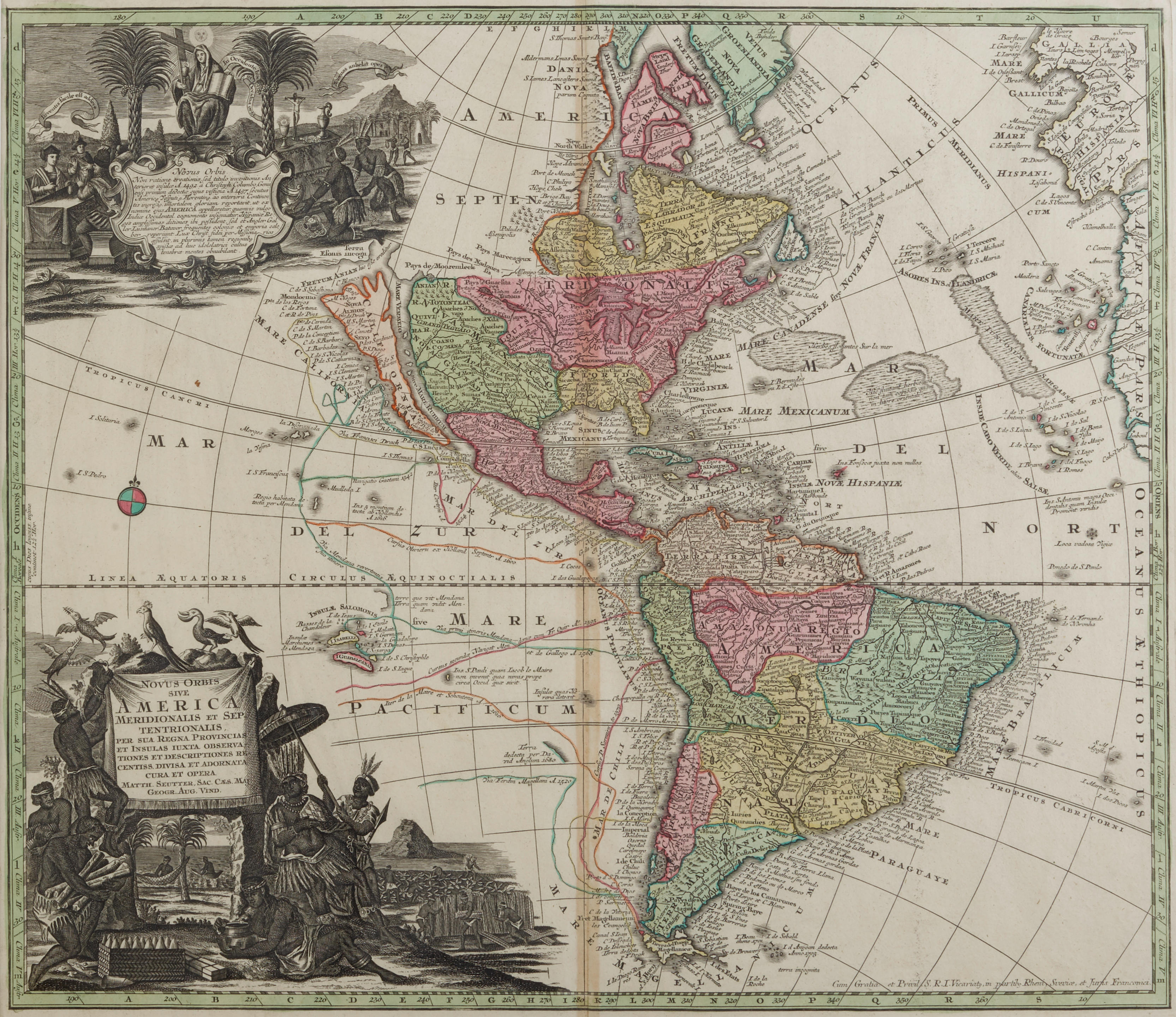
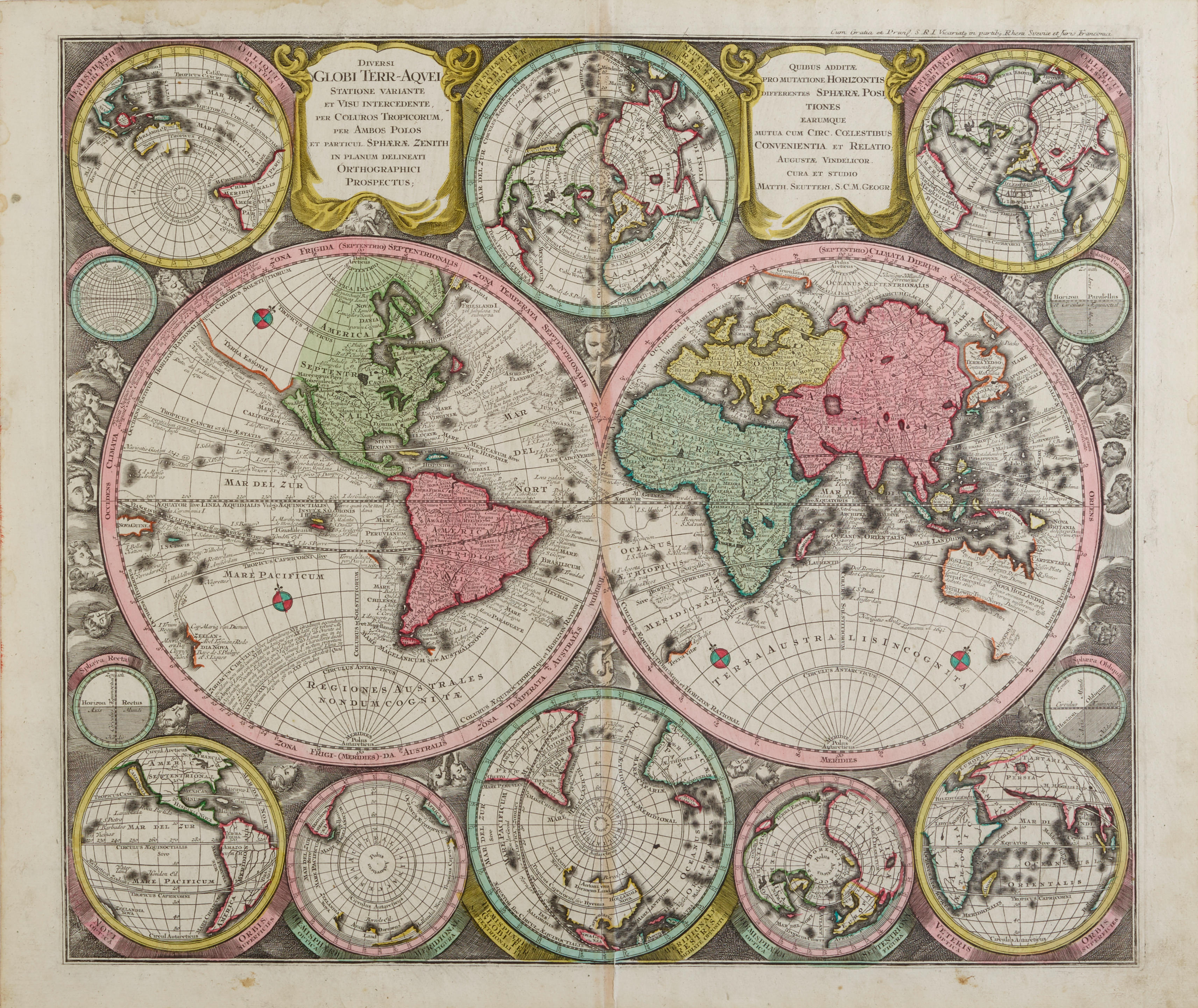
Seutter, Georg Matthaus. 1678-1757. Mappa Geographica Regionum Mexicanam et Floridam terrasque adjacentes ut et anteriores America Insulas. Augsburg: [c.1730 or later]. Hand-colored engraved map of Eastern USA and Central America, 500 x 580 mm, verso blank. The map titled along the upper margin, and 4 inset plans of the harbors of Darien, Havana, Carthagena, and Vera Cruz. Slight browning down the center fold, window mount. Seutter's decorative version of De L'Isle's map of the region, first published in 1703. WITH: LOTTER, TOBIAS CONRAD. 1717-1777. Pennsylvania Nova Jersey et New York. Augsburg: [c.1756]. Hand-colored engraved map of the middle colonies, 580 x 500 mm, verso blank. Titled at upper left within a decorative cartouche showing traders. Window mount; together with a second copy of this map with similar coloring. The third state of this attractive map with the Lotter's name replacing Seutter's. The map was originally based on Evans's map of 1749 and issued for the European market. Lotter decided to add in the states in Eastern New England which, due to lack of space on the plate, are surprisingly inaccurate. McCorkle 750.4.
Seutter, Georg Matthaus. 1678-1757. Mappa Geographica Regionum Mexicanam et Floridam terrasque adjacentes ut et anteriores America Insulas. Augsburg: [c.1730 or later]. Hand-colored engraved map of Eastern USA and Central America, 500 x 580 mm, verso blank. The map titled along the upper margin, and 4 inset plans of the harbors of Darien, Havana, Carthagena, and Vera Cruz. Slight browning down the center fold, window mount. Seutter's decorative version of De L'Isle's map of the region, first published in 1703. WITH: LOTTER, TOBIAS CONRAD. 1717-1777. Pennsylvania Nova Jersey et New York. Augsburg: [c.1756]. Hand-colored engraved map of the middle colonies, 580 x 500 mm, verso blank. Titled at upper left within a decorative cartouche showing traders. Window mount; together with a second copy of this map with similar coloring. The third state of this attractive map with the Lotter's name replacing Seutter's. The map was originally based on Evans's map of 1749 and issued for the European market. Lotter decided to add in the states in Eastern New England which, due to lack of space on the plate, are surprisingly inaccurate. McCorkle 750.4.


Testen Sie LotSearch und seine Premium-Features 7 Tage - ohne Kosten!
Lassen Sie sich automatisch über neue Objekte in kommenden Auktionen benachrichtigen.
Suchauftrag anlegen