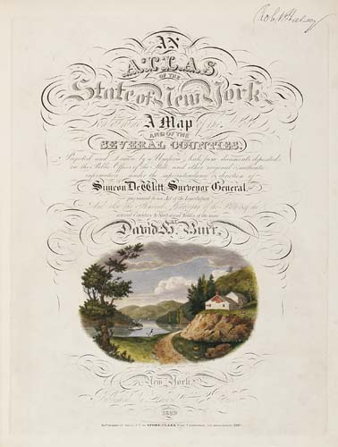
BURR, David (1803-1875). An Atlas of the State of New York containing a Map of the State and of the Several Counties. New York: by David Burr, 1829.
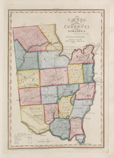
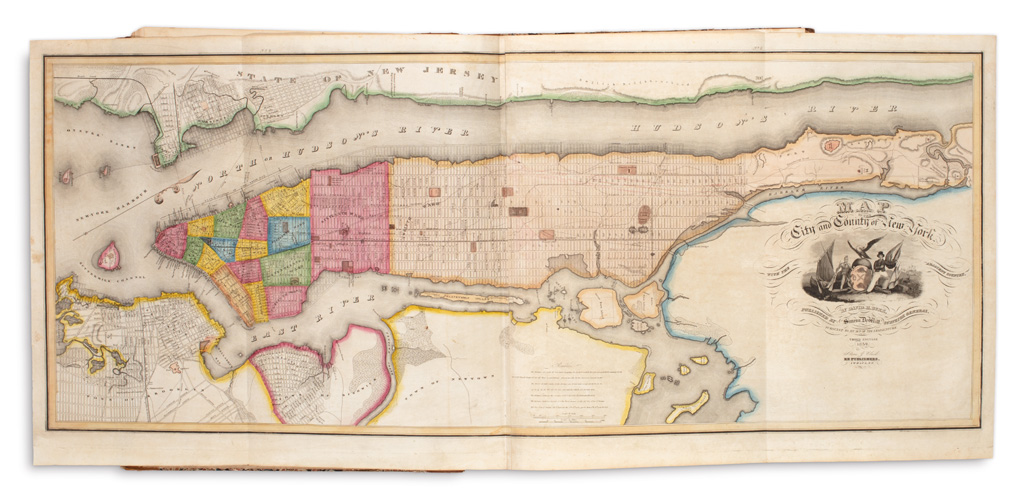
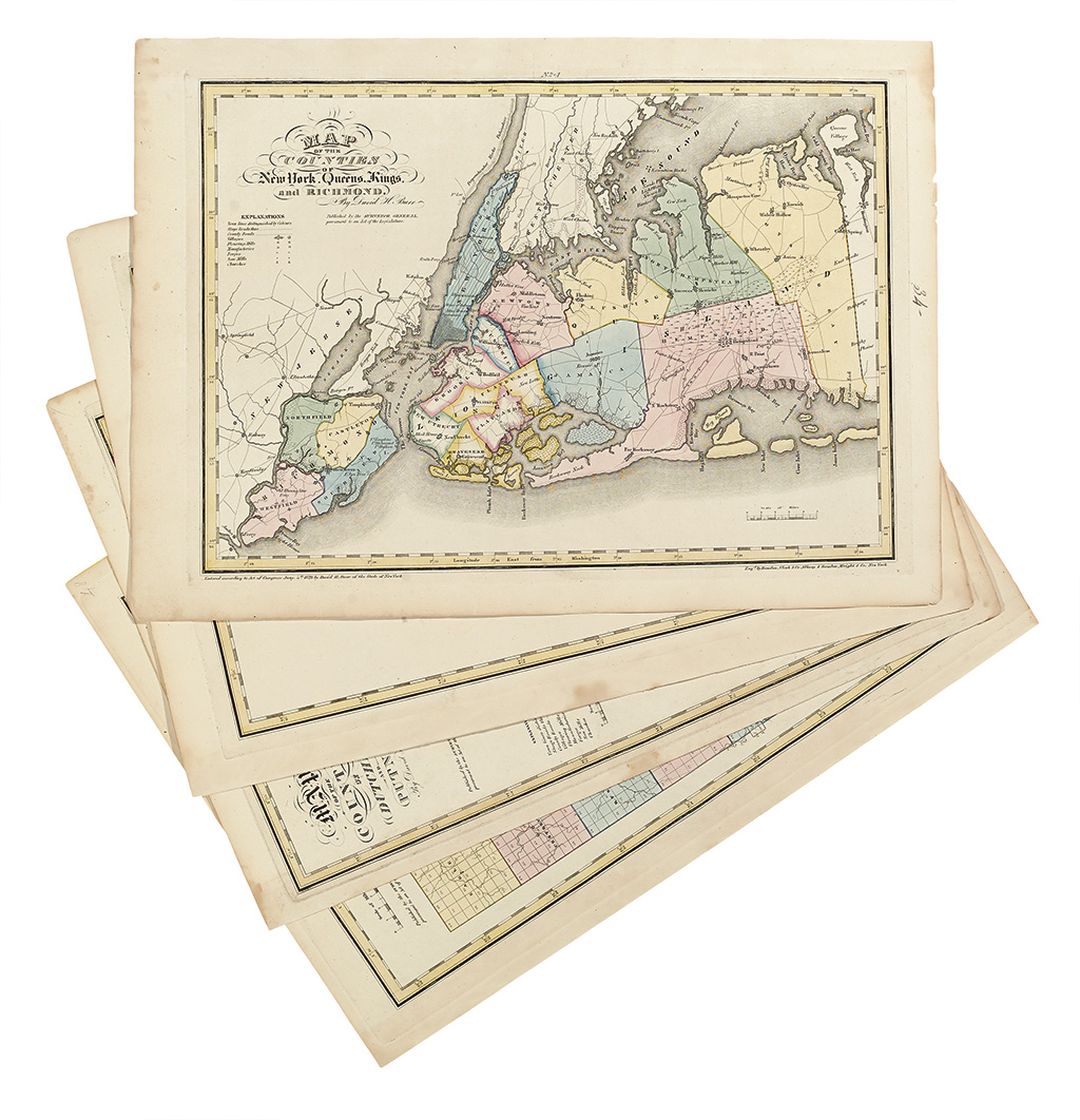
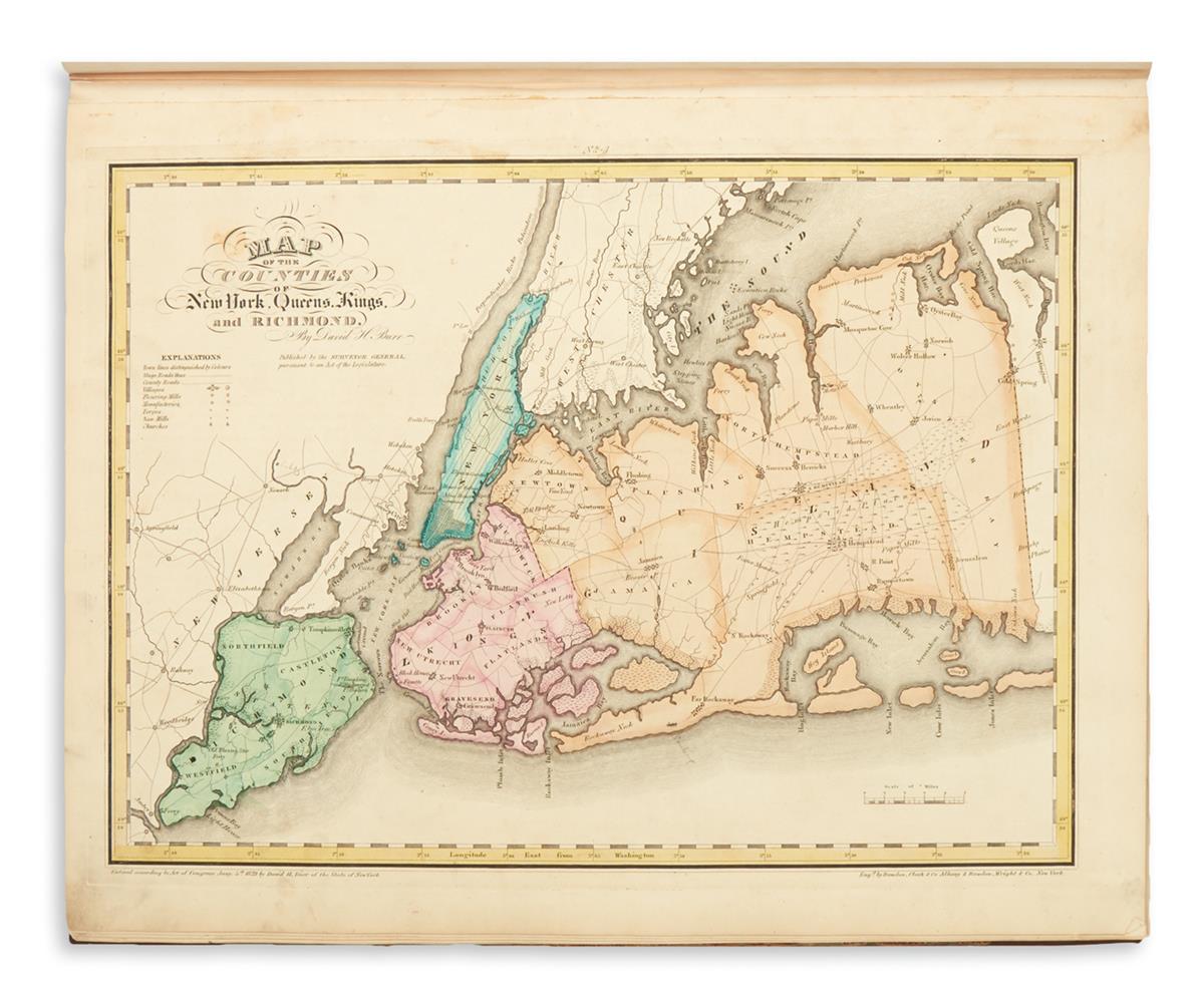
BURR, David (1803-1875). An Atlas of the State of New York containing a Map of the State and of the Several Counties. New York: by David Burr, 1829. 2 o (547 x 422 mm). Engraved vignette on title, 52 engraved maps with contemporary hand-coloring (some occasional spotting). Contemporary half calf and marbled boards, rebacked in calf antique (corners worn, some wear to sides and edges, early owner's name on sides). Provenance : Thomas Howell (signature on half-title dated 1849, on pastedown and on sides). FIRST EDITION of the second Atlas of any American State. The elaborate atlas was drawn by Burr from the office surveys conducted by the Surveyor's General's Office of the State of New York. It contains a map of the state followed by a large folding plan of New York City and Long Island and single or double-page maps of each county. The maps are detailed, mentioning towns, rivers, canals, roads, railroads, and sometimes landowners. The descriptive text contains information concerning the state. Burr also distinguished himself with his A New Universal Atlas (1836, see following lot), and his American Atlas (1839) both of which were published under the auspices of the U.S. Post Office. Phillips Atlases 2206.


.jpg)



Testen Sie LotSearch und seine Premium-Features 7 Tage - ohne Kosten!
Lassen Sie sich automatisch über neue Objekte in kommenden Auktionen benachrichtigen.
Suchauftrag anlegen