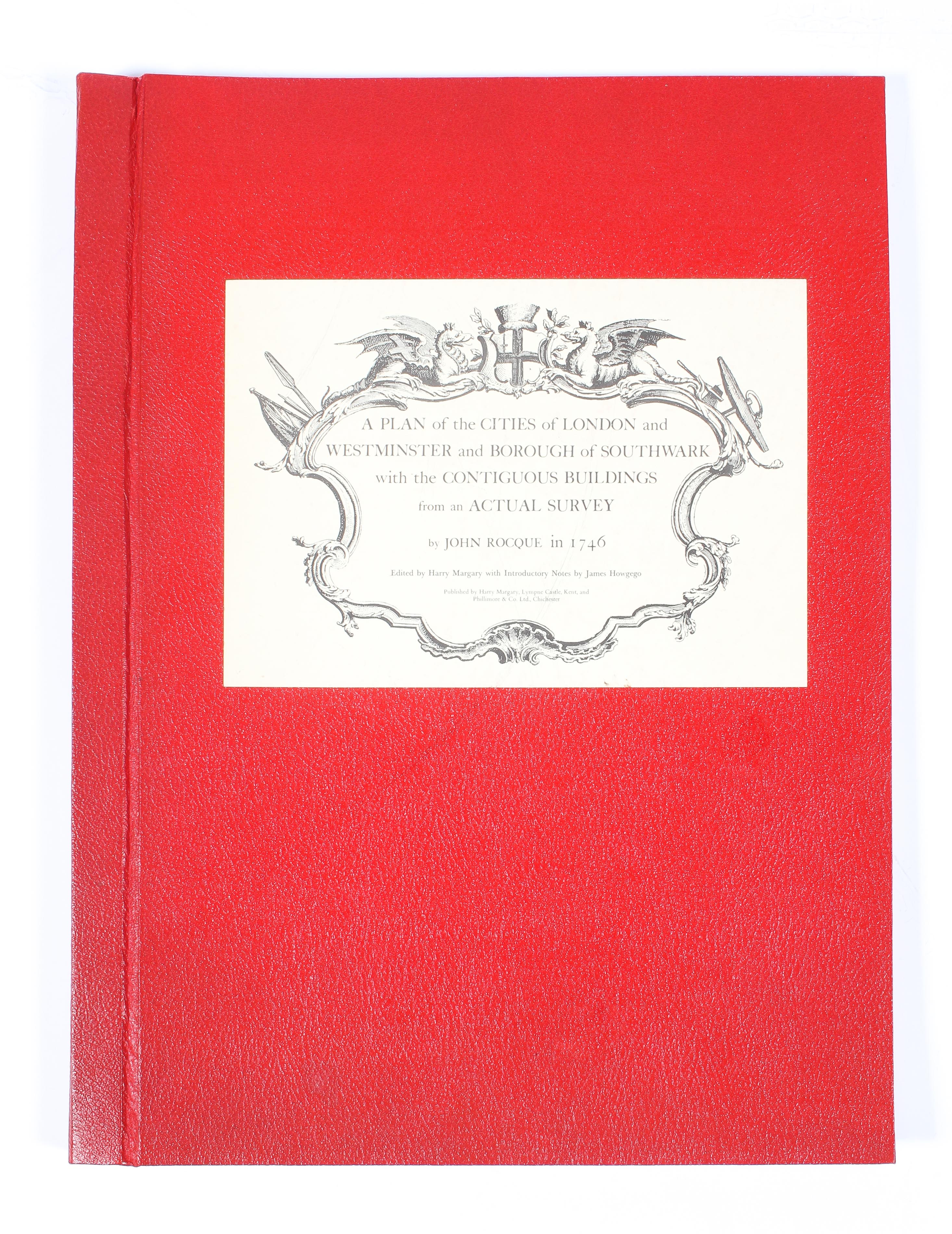
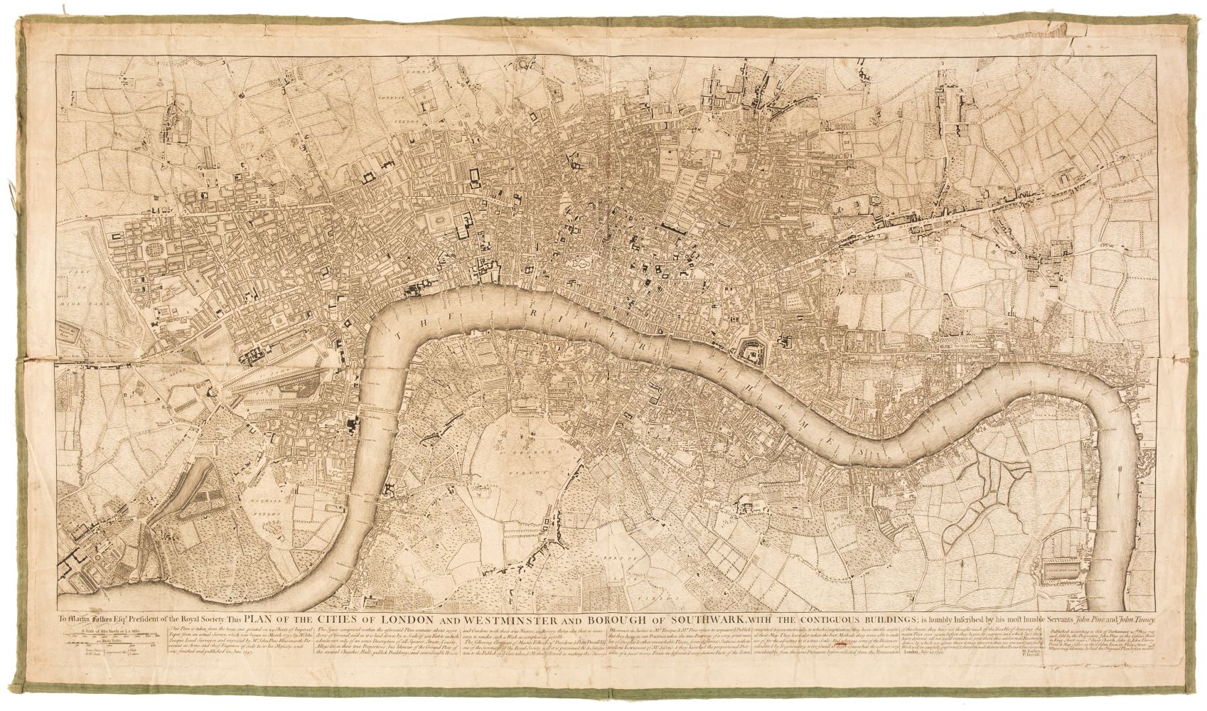
ROCQUE, JOHN A plan of the cities of London and Westminster and borough of Southwark, with the contiguous buildings, from an actual survey taken by John Rocque land-surveyor, and engraved by John Pine London, c.1749 Second edition, large engraved plan in 24 sheets joined to form an eight panels across two folding screens, each panel 2340 x 500mm., scale 26 inches to the mile, decorated with three large elaborate cartouches and the whole enclosed by a rococo border ROCQUE’S FAMOUS LARGE-SCALE MAP OF LONDON PRESENTED ON FOLDING SCREENS. Rocque’s plan of London was larger than any earlier published map of the city, and stands as a primary record for the London of the mid-eighteenth century. This second edition as minor alterations, such as the addition of Chesterfield House (completed 1749), Hill Street, and John Street. "The Plan, when fitted on Canvas, may be fixed on a Roller, with a Pulley, to the Cornice of the Wainscot… It likewise makes a beautiful and useful Screen" (Sayer and Bennett’s Catalogue of New and Valuable Prints, 1775). LITERATURE: Howgego 96 (2)
ROCQUE, JOHN A plan of the cities of London and Westminster and borough of Southwark, with the contiguous buildings, from an actual survey taken by John Rocque land-surveyor, and engraved by John Pine London, c.1749 Second edition, large engraved plan in 24 sheets joined to form an eight panels across two folding screens, each panel 2340 x 500mm., scale 26 inches to the mile, decorated with three large elaborate cartouches and the whole enclosed by a rococo border ROCQUE’S FAMOUS LARGE-SCALE MAP OF LONDON PRESENTED ON FOLDING SCREENS. Rocque’s plan of London was larger than any earlier published map of the city, and stands as a primary record for the London of the mid-eighteenth century. This second edition as minor alterations, such as the addition of Chesterfield House (completed 1749), Hill Street, and John Street. "The Plan, when fitted on Canvas, may be fixed on a Roller, with a Pulley, to the Cornice of the Wainscot… It likewise makes a beautiful and useful Screen" (Sayer and Bennett’s Catalogue of New and Valuable Prints, 1775). LITERATURE: Howgego 96 (2)


Testen Sie LotSearch und seine Premium-Features 7 Tage - ohne Kosten!
Lassen Sie sich automatisch über neue Objekte in kommenden Auktionen benachrichtigen.
Suchauftrag anlegen