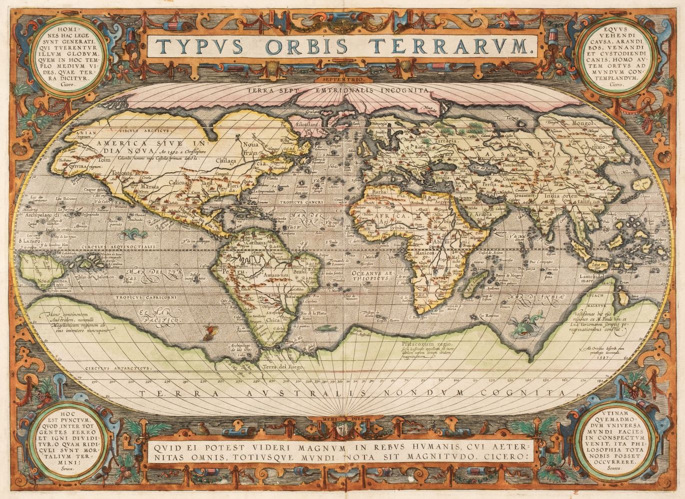
ORTELIUS, Abraham (1527-1598). Typus Orbis Terrarum. Antwerp: 1570 [1581, or 1587].
ORTELIUS, Abraham (1527-1598). Typus Orbis Terrarum. Antwerp: 1570 [1581, or 1587]. Engraved hand-colored world map, image 340 x 500 mm (433 x 590 mm sheet). Galleon and sea monsters, French text on verso (repaired along central fold, few short marginal tears repaired on verso). Matted and framed. First plate, second state with the clouds reworked on the lower left corner. "For the first time, in 1570, all elements of the modern atlas were brought to publication in Abraham Ortelius Theatrum Orbis Terrarum . Ortelius' world map is a simplified one-sheet reduction of Mercator's large world map which had appeared the year before. Nearly all the legends, textual panels and decorative features have been omitted; between the oval circumference of the map and the outer frame are now clouds, and, below, a quotation from Cicero. For surviving correspondence it is known that Mercator generously encouraged Ortelius to make use of his published corpus of research; he also provided him with co-ordinates of places in America and perhaps elsewhere. South America retains the unusual bulged south-west coast drawn by Mercator. There is also a prudent comment adjacent to New Guinea querying whether this large island is part of the southern continent or not" (Shirley 122).


.jpg)


Testen Sie LotSearch und seine Premium-Features 7 Tage - ohne Kosten!
Lassen Sie sich automatisch über neue Objekte in kommenden Auktionen benachrichtigen.
Suchauftrag anlegen