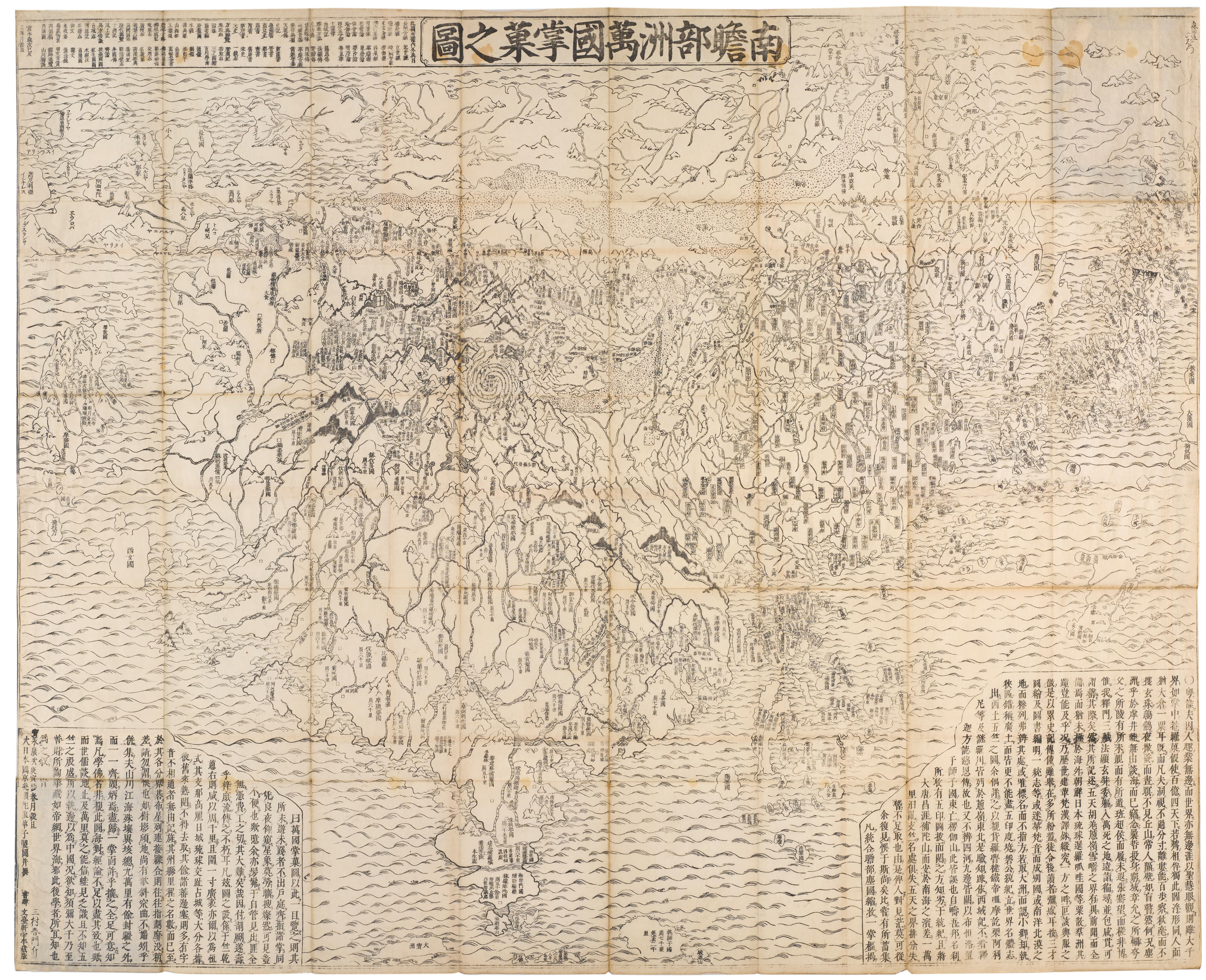
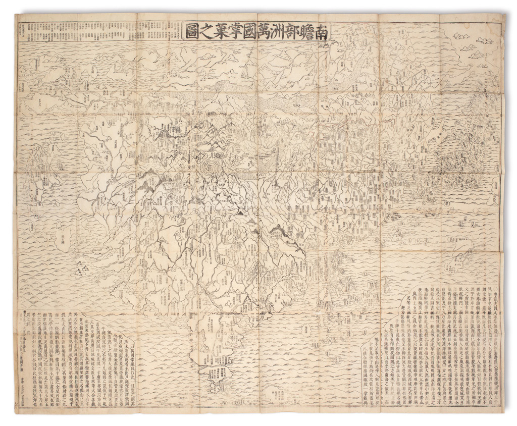
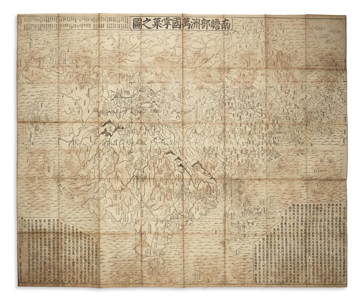
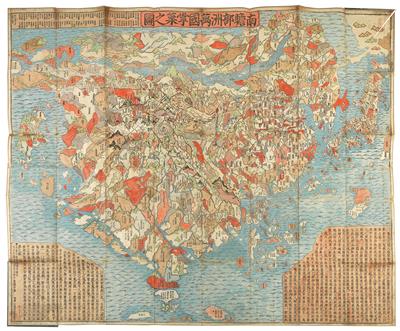
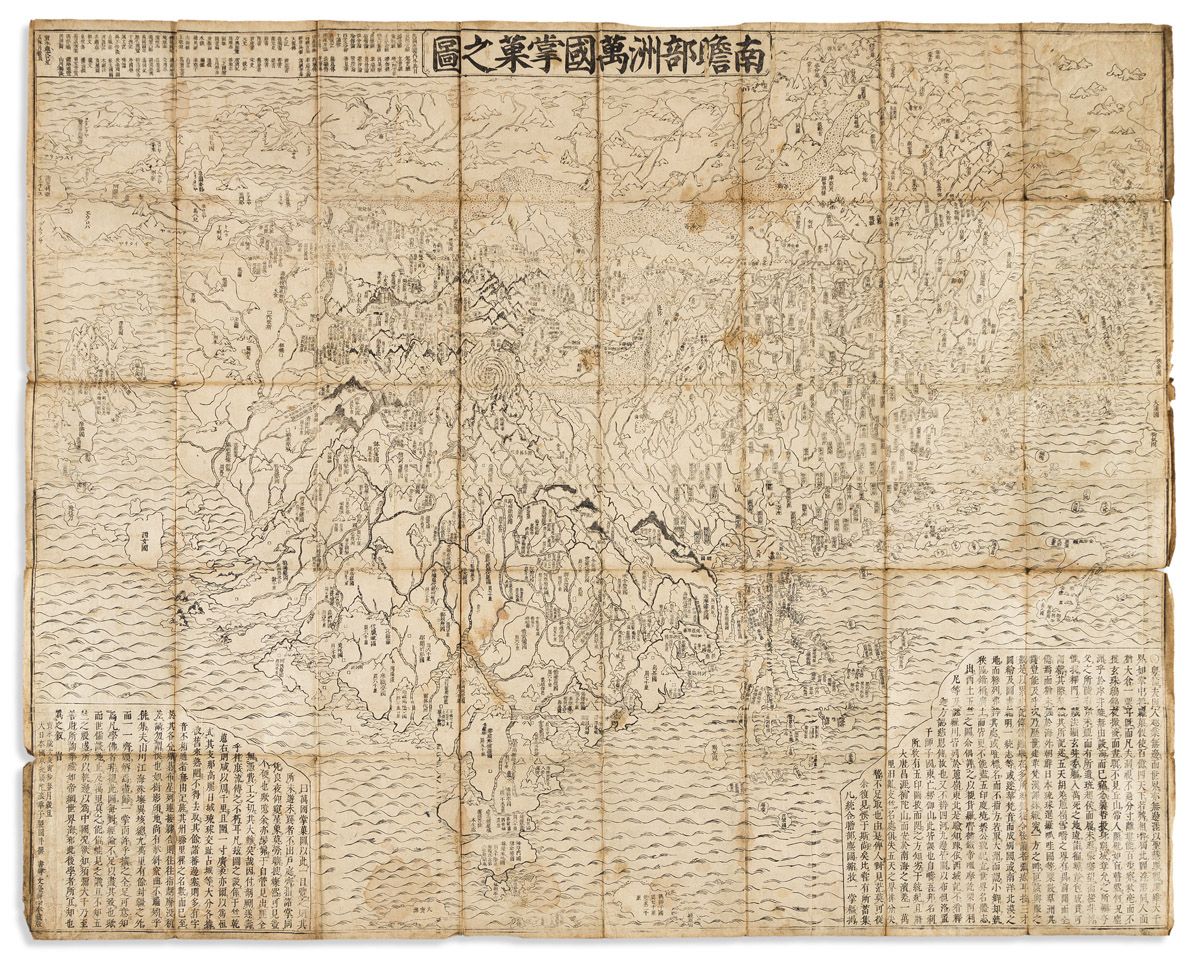
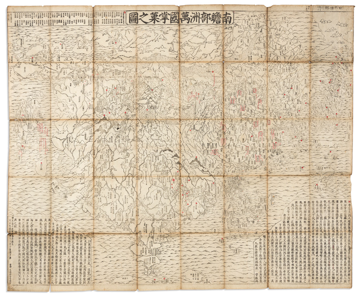
Title: Nansenbushu Bankoku Shoka No Zu [Outline Map of All Countries of the Universe] Author: Zuda Rokashi [Priest Hotan] Place: Kyoto Publisher: Bundaiken Uhei Date: 1710 (Hoei 7 = Year of the Tiger) Description: Woodcut map. 114.5x141.5 cm. (45x55¾"), folding into wrappers with label. The first Buddhist world map printed in Japan and the prototype for all subsequent Buddhist world maps printed in Japan until the late nineteenth century. The map centered on 'Jambu-Dvipa', the mythological heart of Buddhist cosmography where Buddha was born in Northern India with the sacred lake of Anavatapta, and the four sacred rivers Ganges, Oxus, Indus, and Tarim flowing from it, the map extending from Ceylon to Siberia, and from Japan to the British Isles 'Country of the Western Woman', with Europe as a group of islands, Africa figured as a small island, South America is is an island in the ocean south of Japan on the right side. A land bridge connects China to an unnamed continent in the upper right corner. There are numerous place names, texts placed at lower left and right corners including a list of Sutras and Chinese histories, title in a banner at upper margin. In the center of the map in the Himalayan Mountains is a quadruple helix symbolizing the origins of the four great rivers of the region emanating from the heads of a horse, a lion, an elephant, and an ox. This is the site of the present day Lake Manasarovar, the highest fresh water lake in the world. The author, Hotan (1654-1728), was a scholar-priest and founder of the Kegonji Temple in Kyoto. Hotan’s map was revolutionary in being the first printed Oriental map to introduce detailed Western cartographic information into this traditional Buddhist cosmological view and to attempt to merge the two together into a comprehensible form. Lot Amendments Condition: Wrappers well rubbed, including title label which is largely illegible; worming across the map, with a few of the holes as much as ¼" across but generally unobtrusive, some light stains at folds; overall very good. Item number: 224466
Title: Nansenbushu Bankoku Shoka No Zu [Outline Map of All Countries of the Universe] Author: Zuda Rokashi [Priest Hotan] Place: Kyoto Publisher: Bundaiken Uhei Date: 1710 (Hoei 7 = Year of the Tiger) Description: Woodcut map. 114.5x141.5 cm. (45x55¾"), folding into wrappers with label. The first Buddhist world map printed in Japan and the prototype for all subsequent Buddhist world maps printed in Japan until the late nineteenth century. The map centered on 'Jambu-Dvipa', the mythological heart of Buddhist cosmography where Buddha was born in Northern India with the sacred lake of Anavatapta, and the four sacred rivers Ganges, Oxus, Indus, and Tarim flowing from it, the map extending from Ceylon to Siberia, and from Japan to the British Isles 'Country of the Western Woman', with Europe as a group of islands, Africa figured as a small island, South America is is an island in the ocean south of Japan on the right side. A land bridge connects China to an unnamed continent in the upper right corner. There are numerous place names, texts placed at lower left and right corners including a list of Sutras and Chinese histories, title in a banner at upper margin. In the center of the map in the Himalayan Mountains is a quadruple helix symbolizing the origins of the four great rivers of the region emanating from the heads of a horse, a lion, an elephant, and an ox. This is the site of the present day Lake Manasarovar, the highest fresh water lake in the world. The author, Hotan (1654-1728), was a scholar-priest and founder of the Kegonji Temple in Kyoto. Hotan’s map was revolutionary in being the first printed Oriental map to introduce detailed Western cartographic information into this traditional Buddhist cosmological view and to attempt to merge the two together into a comprehensible form. Lot Amendments Condition: Wrappers well rubbed, including title label which is largely illegible; worming across the map, with a few of the holes as much as ¼" across but generally unobtrusive, some light stains at folds; overall very good. Item number: 224466


.jpg)
.jpg)
Testen Sie LotSearch und seine Premium-Features 7 Tage - ohne Kosten!
Lassen Sie sich automatisch über neue Objekte in kommenden Auktionen benachrichtigen.
Suchauftrag anlegen