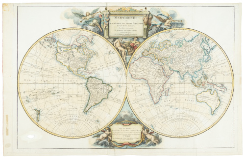
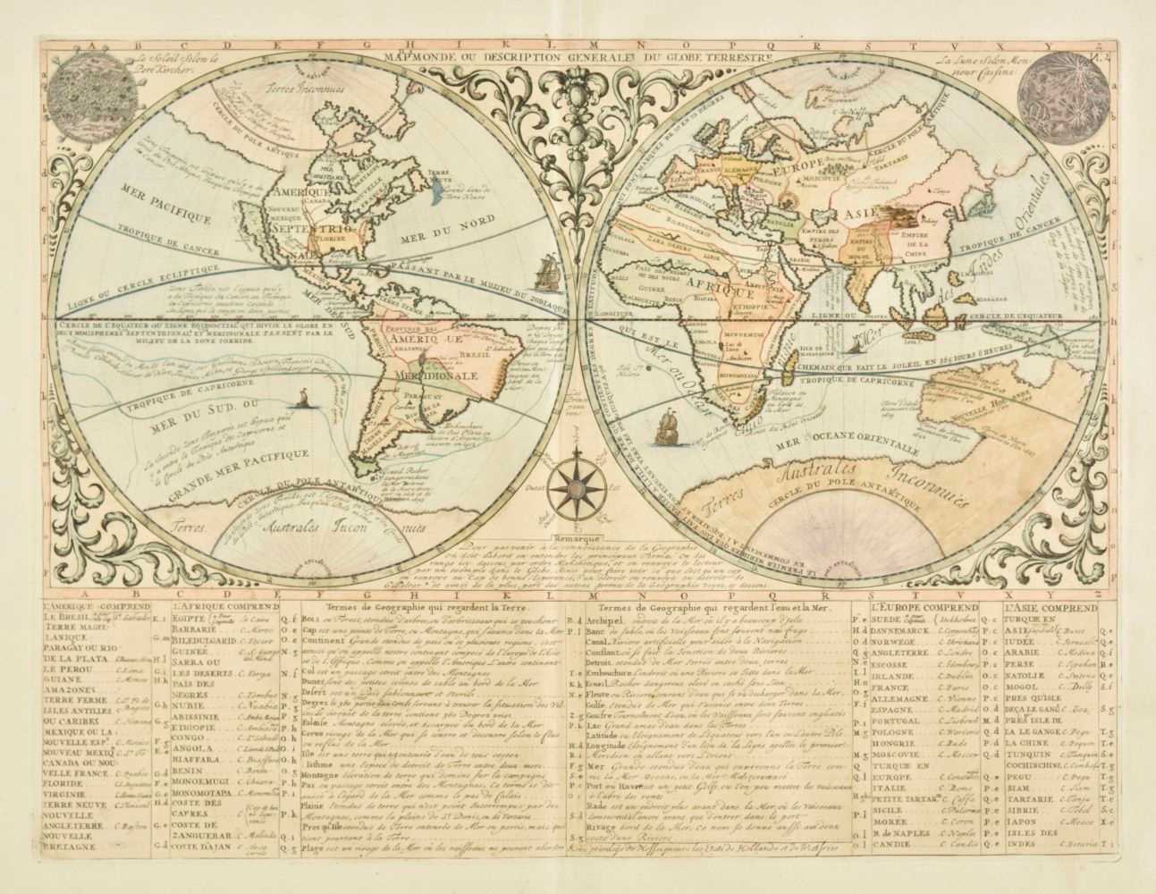
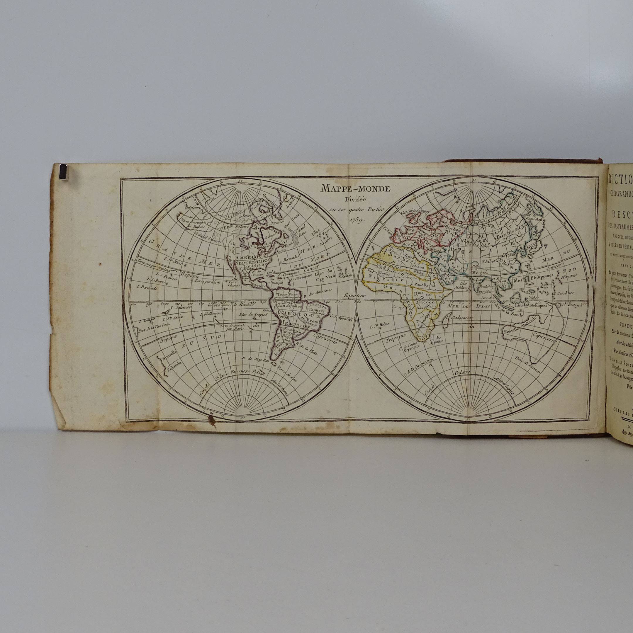
(World) Mappemonde ou Description Du Globe Terrestre avec les Routes, et Decouvertes du Cèlébre Capitaine Cook qui a fait plusieurs sois le tour du Monde, et autres Navigateurs qui l'ont accompagné et qui s'en sont séparés Author: Robert de Vaugondy, Didier Provenance: Warren Heckrotte collection Place Published: Paris Publisher: Delamarche [i.e. Antoine Boudet?] Date Published: [1786-1792?] Description: Copper-engraved double-hemisphere map of the world (formerly hand-colored in outline, but washed so only green color remains), with 2 uncolored pictorial cartouches. Engraved by Charles-Nicolas Cochin, the younger. 46.7x70.5 cm (18¼x27¾"). Rare issue of the De Vaugondy/Delamarche map of the world from the Atlas Universel. The routes of James Cook's three voyages are delineated, including his final resting place, "Why-hee ou le Capt. Cook perdit la vie." Other routes of exploration and discovery are also charted, including those of Anson, Furneaux, the Spanish galleons, etc. The newly independent Etats Unis are named, and the possibility of a Northwest Passage is definitely in play. OCLC/WorldCat locates only one copy of this map, at Herzogin Anna Amalia Bibliothek in Weimar, dating it 1786 and naming Antoine Boudet as the publisher. However, Warren Heckrotte, from whose estate this map came, dates it 1792, noting that "Delemarche took over Robert de Vaugondy's plates in 1792." Heckrotte also states, "This map is very curious in that the North Pacific is based on the Von Staelin map of 1773-1774, and on this erroneous geography Captain Cook's routes are laid down. One recalls how Cook railed against the Von Staelin map." We could find no copies listed at OldMaps.com. Additional shipping charges may apply Condition: Verso repair along centerfold causing some distress on recto, a few ill creases, else very good. Item#: 359706 Headline: Rare world map with Cook's routes 1786
(World) Mappemonde ou Description Du Globe Terrestre avec les Routes, et Decouvertes du Cèlébre Capitaine Cook qui a fait plusieurs sois le tour du Monde, et autres Navigateurs qui l'ont accompagné et qui s'en sont séparés Author: Robert de Vaugondy, Didier Provenance: Warren Heckrotte collection Place Published: Paris Publisher: Delamarche [i.e. Antoine Boudet?] Date Published: [1786-1792?] Description: Copper-engraved double-hemisphere map of the world (formerly hand-colored in outline, but washed so only green color remains), with 2 uncolored pictorial cartouches. Engraved by Charles-Nicolas Cochin, the younger. 46.7x70.5 cm (18¼x27¾"). Rare issue of the De Vaugondy/Delamarche map of the world from the Atlas Universel. The routes of James Cook's three voyages are delineated, including his final resting place, "Why-hee ou le Capt. Cook perdit la vie." Other routes of exploration and discovery are also charted, including those of Anson, Furneaux, the Spanish galleons, etc. The newly independent Etats Unis are named, and the possibility of a Northwest Passage is definitely in play. OCLC/WorldCat locates only one copy of this map, at Herzogin Anna Amalia Bibliothek in Weimar, dating it 1786 and naming Antoine Boudet as the publisher. However, Warren Heckrotte, from whose estate this map came, dates it 1792, noting that "Delemarche took over Robert de Vaugondy's plates in 1792." Heckrotte also states, "This map is very curious in that the North Pacific is based on the Von Staelin map of 1773-1774, and on this erroneous geography Captain Cook's routes are laid down. One recalls how Cook railed against the Von Staelin map." We could find no copies listed at OldMaps.com. Additional shipping charges may apply Condition: Verso repair along centerfold causing some distress on recto, a few ill creases, else very good. Item#: 359706 Headline: Rare world map with Cook's routes 1786


Testen Sie LotSearch und seine Premium-Features 7 Tage - ohne Kosten!
Lassen Sie sich automatisch über neue Objekte in kommenden Auktionen benachrichtigen.
Suchauftrag anlegen