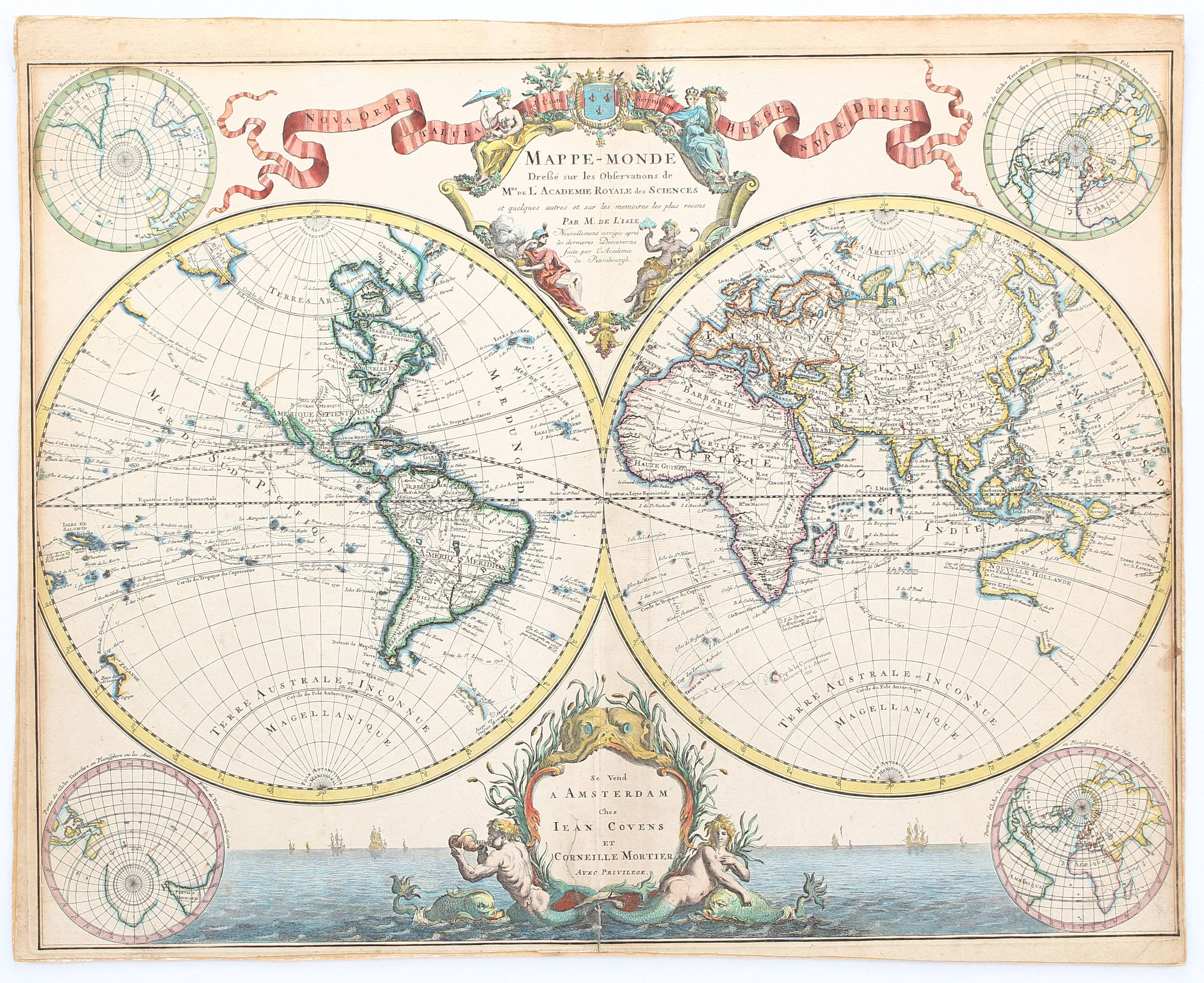
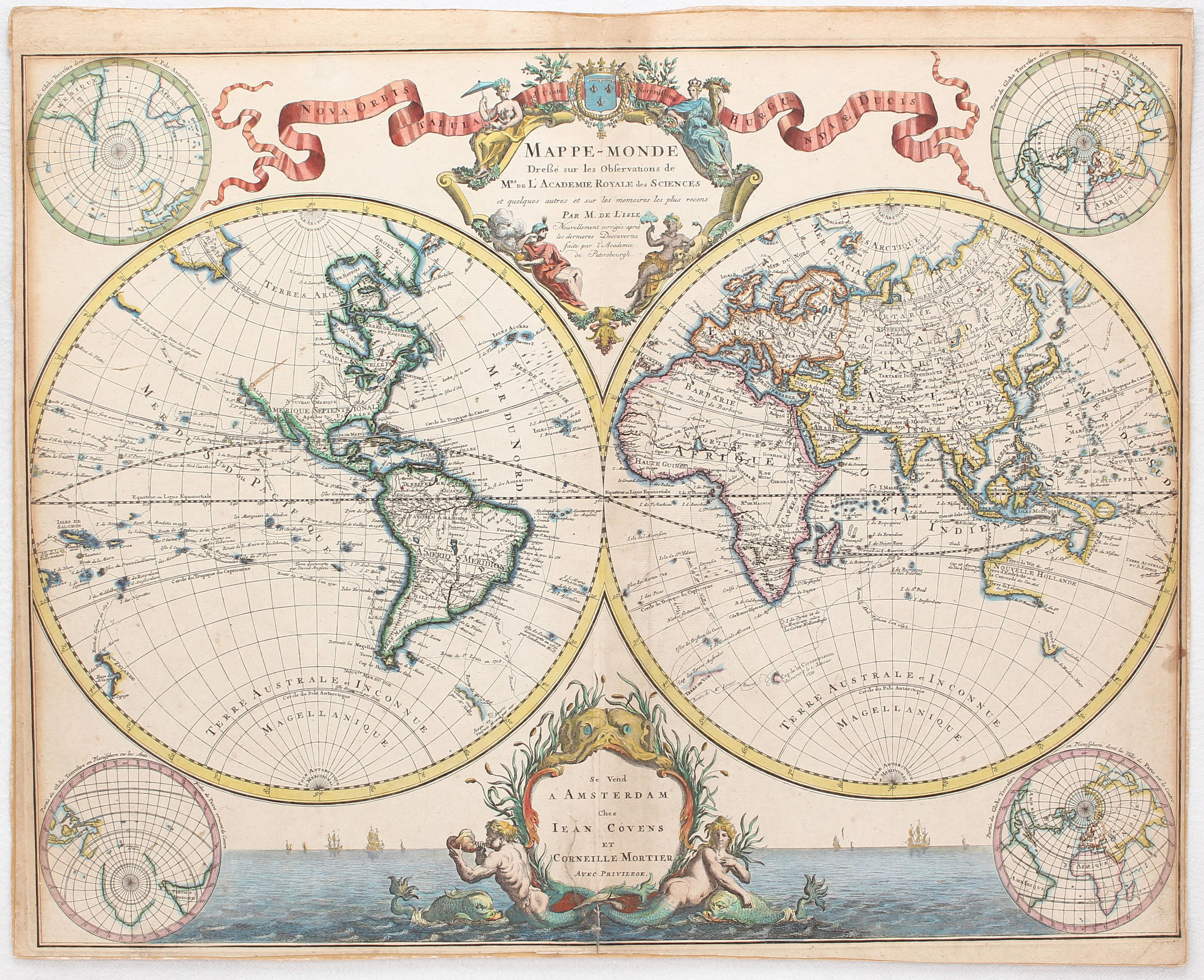
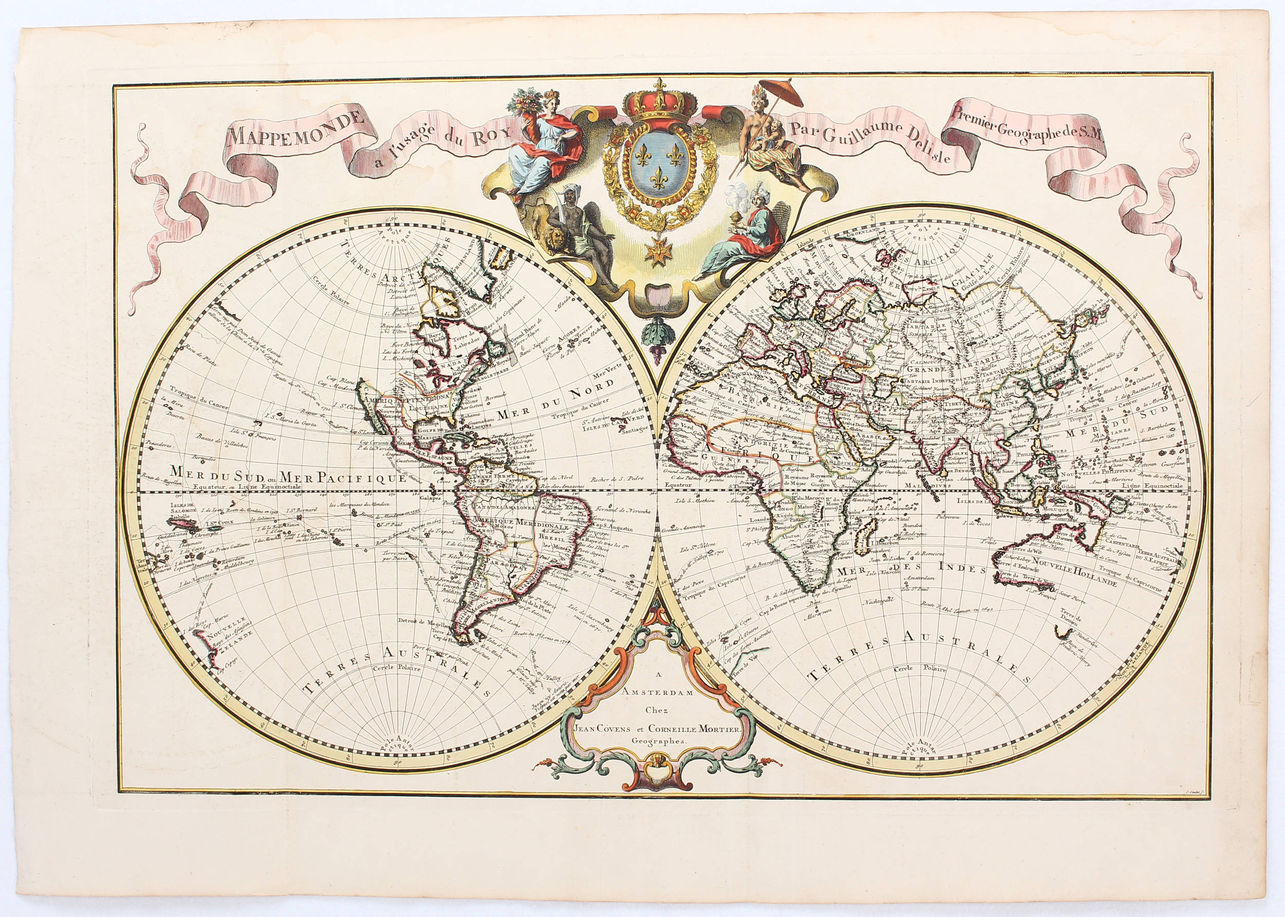
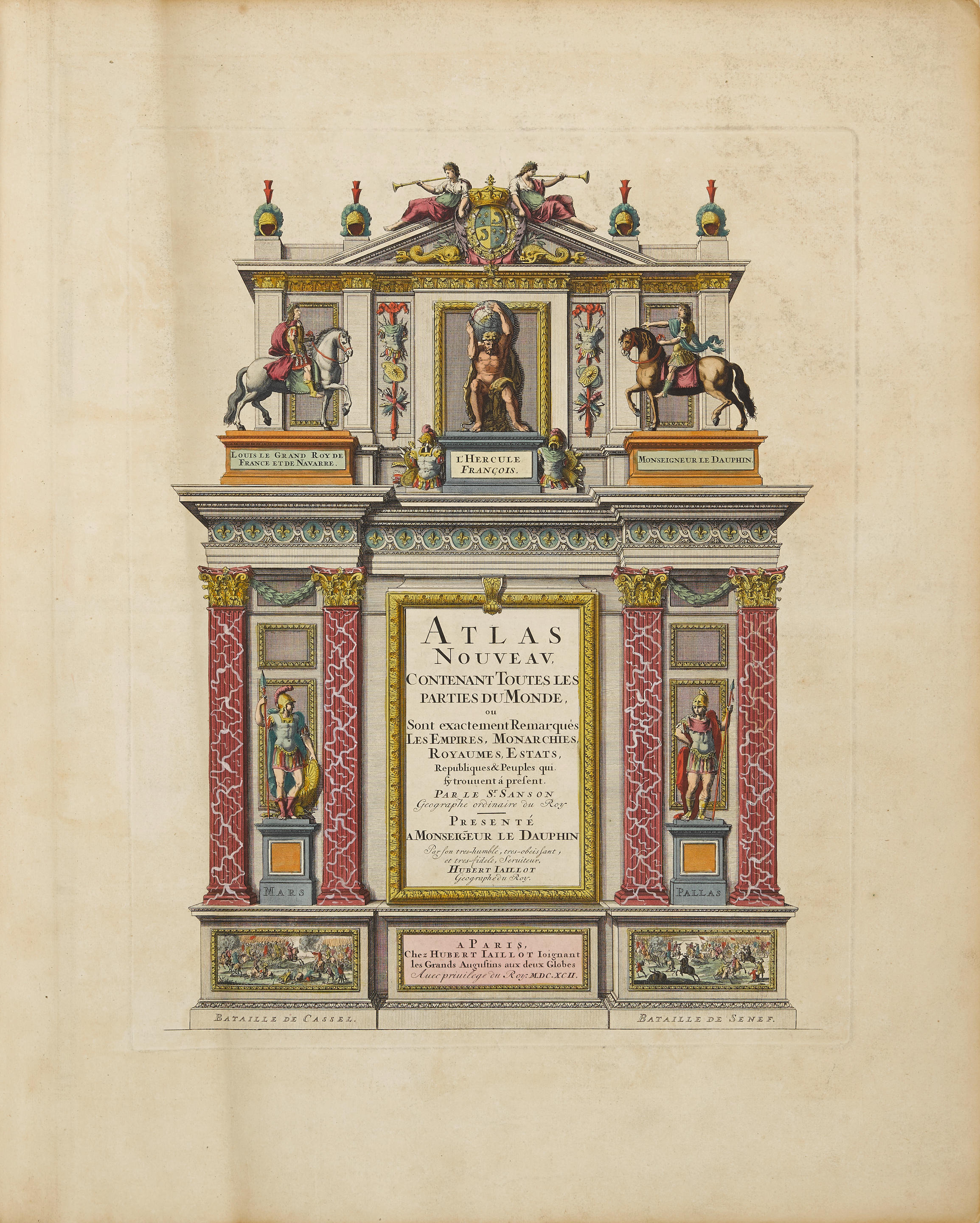
With Speculative New Features – "Mappe-Monde geo-hydrographique, ou description generale du globe terrestre et aquatique". Weltkarte in 2 Hemisphären (Ø je 49 cm ), dazwischen mittig 2 ausgem. fig. Kart. , in den Ecken oben je 2 und unten je 3 weitereProjektionen und Darst. im Rund sowie oben Schriftleiste mit Titel. Altkol. Kupf. von P. Mortier , um 1700, bei Covens & Mortier, um 1730. Von 2 Platten gedruckt und zusammengesetzt; 56,5:96 cm . ( ) Shirley 621 mit Abb. ; Campbell S. 5 0 ff. (in: The Map Collector 18/March 1982); - 3. Zustand (von mindestens 3) der äußerst seltenen und dekorativen Mortier-Karte, die leicht mit den beiden anderen großen Weltkarten dieser Periode verwechselt werden kann, denn alle drei tragen den gleichen Titel, haben eine Widmung an "Monsieur le Dauphin" und beziehen sich auf Sanson und/oder Jaillot; zudem kommt jede der drei Karten in diversen Zuständen und Ausgaben vor. - Mittig und in den Rändern mit leichten Knitterfalten, einige kl. und meist rep. Randläsuren, unten im Bild kl. provisorisch rep. Koloritbruch, oben winziger Wurmstich. Tinten num. in den w. Oberecken. Third state (of at least 3) with imprint of Covens and Mortier. This Mortier version "is easily confused with two other large world maps of the period. Each has the same title, each is dedicated to the Dauphin, and all three cite the French geographers, Sanson and Jaillot... Superficially similar they may be, but when the three versions are compared the radical differences of the Mortier outlines are immediately apparent" (C.). "Speculative new geographical features on this map include the large Mer De l'Ouest in north-west America and the eastern coastline of Australia linking New Guinea and Tasmania". "Mortier's map invents an east coast for Australia seventy years before Cook discovered it" (C.). - 2 sheets joined, contemp. col. Slight creasing at center and margins, a few small marginal tears partly repaired, small rep. crack to green col. and tiny worm hole. Ink numbering at upper corners.
With Speculative New Features – "Mappe-Monde geo-hydrographique, ou description generale du globe terrestre et aquatique". Weltkarte in 2 Hemisphären (Ø je 49 cm ), dazwischen mittig 2 ausgem. fig. Kart. , in den Ecken oben je 2 und unten je 3 weitereProjektionen und Darst. im Rund sowie oben Schriftleiste mit Titel. Altkol. Kupf. von P. Mortier , um 1700, bei Covens & Mortier, um 1730. Von 2 Platten gedruckt und zusammengesetzt; 56,5:96 cm . ( ) Shirley 621 mit Abb. ; Campbell S. 5 0 ff. (in: The Map Collector 18/March 1982); - 3. Zustand (von mindestens 3) der äußerst seltenen und dekorativen Mortier-Karte, die leicht mit den beiden anderen großen Weltkarten dieser Periode verwechselt werden kann, denn alle drei tragen den gleichen Titel, haben eine Widmung an "Monsieur le Dauphin" und beziehen sich auf Sanson und/oder Jaillot; zudem kommt jede der drei Karten in diversen Zuständen und Ausgaben vor. - Mittig und in den Rändern mit leichten Knitterfalten, einige kl. und meist rep. Randläsuren, unten im Bild kl. provisorisch rep. Koloritbruch, oben winziger Wurmstich. Tinten num. in den w. Oberecken. Third state (of at least 3) with imprint of Covens and Mortier. This Mortier version "is easily confused with two other large world maps of the period. Each has the same title, each is dedicated to the Dauphin, and all three cite the French geographers, Sanson and Jaillot... Superficially similar they may be, but when the three versions are compared the radical differences of the Mortier outlines are immediately apparent" (C.). "Speculative new geographical features on this map include the large Mer De l'Ouest in north-west America and the eastern coastline of Australia linking New Guinea and Tasmania". "Mortier's map invents an east coast for Australia seventy years before Cook discovered it" (C.). - 2 sheets joined, contemp. col. Slight creasing at center and margins, a few small marginal tears partly repaired, small rep. crack to green col. and tiny worm hole. Ink numbering at upper corners.


Testen Sie LotSearch und seine Premium-Features 7 Tage - ohne Kosten!
Lassen Sie sich automatisch über neue Objekte in kommenden Auktionen benachrichtigen.
Suchauftrag anlegen