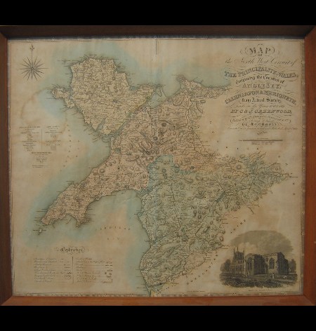
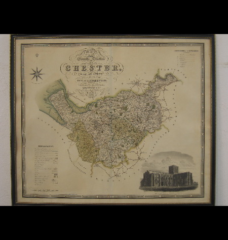
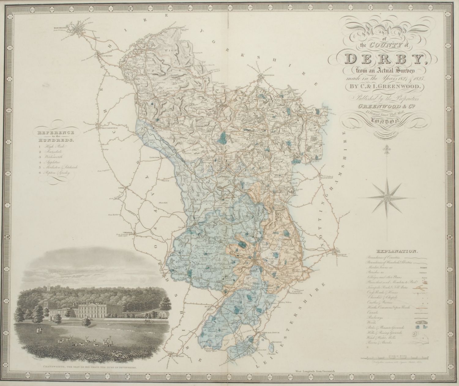
Map of London from an actual survey made in the years 1824, 1825 & 1826..., Greenwood, Pringle & Co., 1st edition, August 21st 1827, fine large scale map with contemporary hand colouring on three sheets, engraved by James and Josiah Neele, sectionalised and laid on linen, calligraphic cartouche, table of explantion, inset views of Westminster Abbey and St. Pauls, dedication to George IV, edged in green silk, marbled endpapers, overall size approximately 1255 x 1875 mm, contained in a contemporary green morocco gilt book box, all edges gilt, very slight wear to extremities Howgego, Printed Maps of London 1553 - 1850, 309, state 1. The Greenwood brothers Christopher and John spent three years preparing this remarkable new survey of London, prepared on the lavish scale of 8 inches to a mile, illustrating for the first time the planned development of Belgravia by Thomas Cubidt, the completion of the Grand Surrey Canal and Regent's Park one year before it was completed in 1828. (1)
Map of London from an actual survey made in the years 1824, 1825 & 1826..., Greenwood, Pringle & Co., 1st edition, August 21st 1827, fine large scale map with contemporary hand colouring on three sheets, engraved by James and Josiah Neele, sectionalised and laid on linen, calligraphic cartouche, table of explantion, inset views of Westminster Abbey and St. Pauls, dedication to George IV, edged in green silk, marbled endpapers, overall size approximately 1255 x 1875 mm, contained in a contemporary green morocco gilt book box, all edges gilt, very slight wear to extremities Howgego, Printed Maps of London 1553 - 1850, 309, state 1. The Greenwood brothers Christopher and John spent three years preparing this remarkable new survey of London, prepared on the lavish scale of 8 inches to a mile, illustrating for the first time the planned development of Belgravia by Thomas Cubidt, the completion of the Grand Surrey Canal and Regent's Park one year before it was completed in 1828. (1)





Testen Sie LotSearch und seine Premium-Features 7 Tage - ohne Kosten!
Lassen Sie sich automatisch über neue Objekte in kommenden Auktionen benachrichtigen.
Suchauftrag anlegen