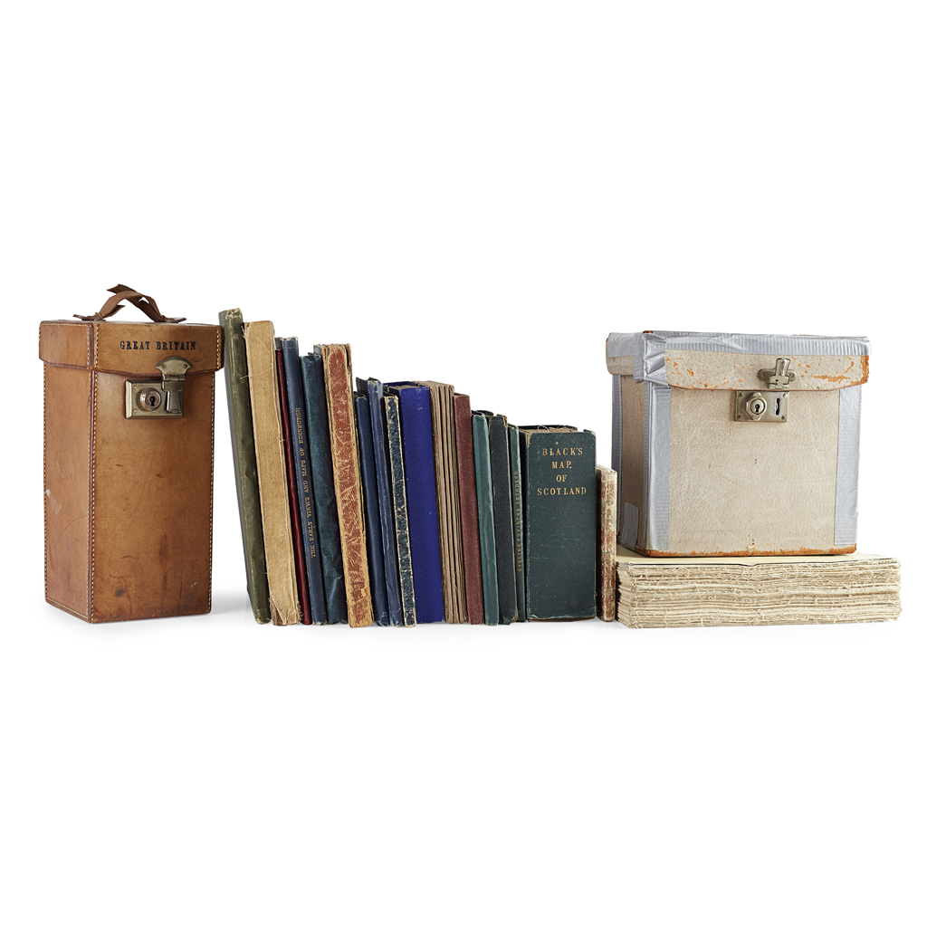
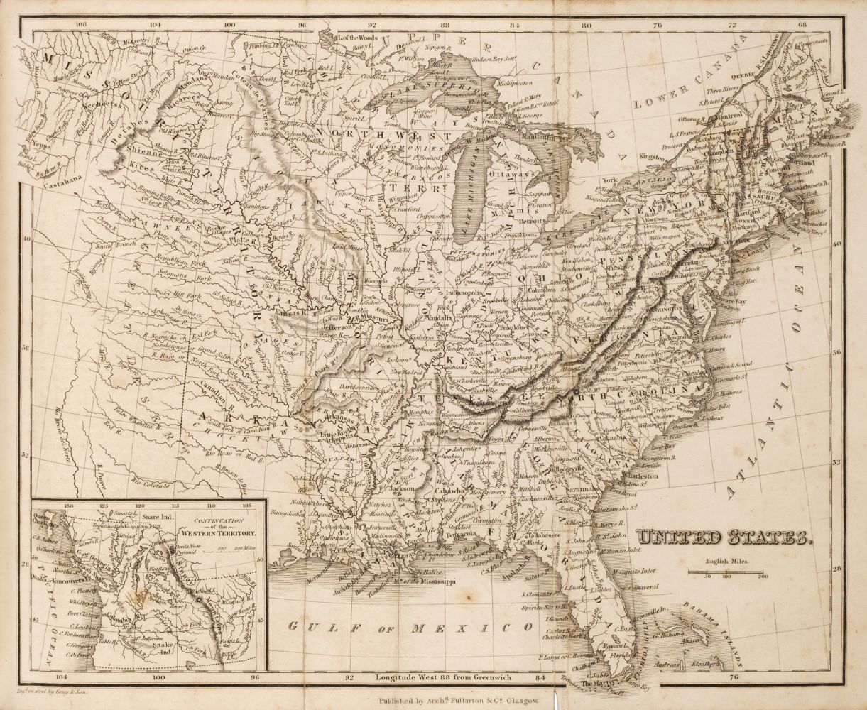
Folding Maps. Fullarton (Archibald), A Collection of Eight Maps: United States North Eastern Section, United States South Central Section, North America, Canada with the Great Lakes, Indian Archipelago, The Holy Land, Central America [and] India, circa 1864, eight maps engraved by J. Bartholomew, each sectionalised and laid on modern cotton, contemporary outline colouring, each approximately 530 x 410 mm, each contained and presented in a modern marbled card slipcase with a reproduction colour printed label to the upper cover, together with Black (A. & C. publishers). A Collection of 23 Maps: Scotland, North America x 2, United States (North-East), United States (South), United States x 2, Roman & Persian Empires, Sweden & Norway, Russia in Europe, Holland and Belgium, Northern England, Southern England, Norway & Sweden, Italy, German Empire (West) x 2, Austria & Hungary, North America, United States of America North East & Canada, United States of America South, United States Railway Map [and] France 1873 - 95, colour lithographic maps, sectionalised and laid on modern cotton, occasional duplicates, 415 x 575 mm, each contained and presented in a modern marbled card slipcase with a reproduction colour printed label to the upper cover, with Bartholomew (J.) A Collection of 47 Regional Maps of the British Isles, circa 1903, colour lithographic maps, sectionalised and laid on later cotton, each approximately 430 x 555 mm, with a large reproduction map after Samuel Lewis of Scotland, 1370 x 2035 mm, contained in a modern lidded marbled card slipcase and a large reproduction map of Kent after Henry Teesdale, 2035 x 1420 mm, contained in a modern marbled card slipcase, plus six reproduction maps of London, all folding and laid on modern cotton and bound in modern cloth boards with a printed title to the upper cover, with a reproduction panorama of Ben Nevis, laid on modern cotton and bound in modern cloth boards with a printed title to the upper cover (Quantity: 87)
Folding Maps. Fullarton (Archibald), A Collection of Eight Maps: United States North Eastern Section, United States South Central Section, North America, Canada with the Great Lakes, Indian Archipelago, The Holy Land, Central America [and] India, circa 1864, eight maps engraved by J. Bartholomew, each sectionalised and laid on modern cotton, contemporary outline colouring, each approximately 530 x 410 mm, each contained and presented in a modern marbled card slipcase with a reproduction colour printed label to the upper cover, together with Black (A. & C. publishers). A Collection of 23 Maps: Scotland, North America x 2, United States (North-East), United States (South), United States x 2, Roman & Persian Empires, Sweden & Norway, Russia in Europe, Holland and Belgium, Northern England, Southern England, Norway & Sweden, Italy, German Empire (West) x 2, Austria & Hungary, North America, United States of America North East & Canada, United States of America South, United States Railway Map [and] France 1873 - 95, colour lithographic maps, sectionalised and laid on modern cotton, occasional duplicates, 415 x 575 mm, each contained and presented in a modern marbled card slipcase with a reproduction colour printed label to the upper cover, with Bartholomew (J.) A Collection of 47 Regional Maps of the British Isles, circa 1903, colour lithographic maps, sectionalised and laid on later cotton, each approximately 430 x 555 mm, with a large reproduction map after Samuel Lewis of Scotland, 1370 x 2035 mm, contained in a modern lidded marbled card slipcase and a large reproduction map of Kent after Henry Teesdale, 2035 x 1420 mm, contained in a modern marbled card slipcase, plus six reproduction maps of London, all folding and laid on modern cotton and bound in modern cloth boards with a printed title to the upper cover, with a reproduction panorama of Ben Nevis, laid on modern cotton and bound in modern cloth boards with a printed title to the upper cover (Quantity: 87)




Testen Sie LotSearch und seine Premium-Features 7 Tage - ohne Kosten!
Lassen Sie sich automatisch über neue Objekte in kommenden Auktionen benachrichtigen.
Suchauftrag anlegen