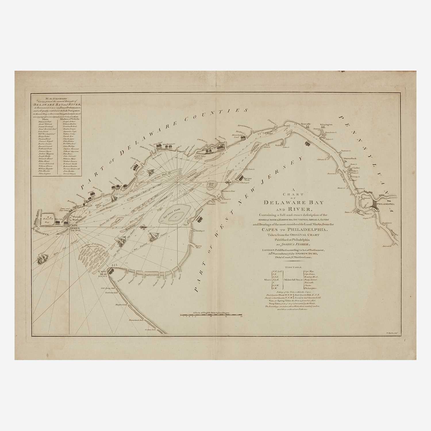
A Chart of Delaware Bay and River, Containing a full & exact description of the Shores, Creeks, Harbours, Soundings, Shoals, Sands and Bearings of the most considerable Land Marks, from the Capes to Philadelphia. Taken from the Original Chart Published at Philadelphia.
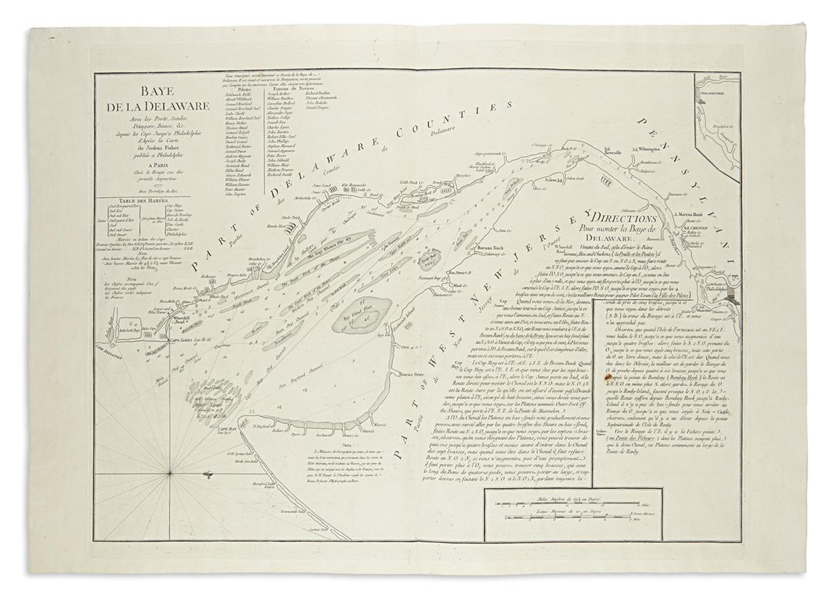
London: William Faden 1776. Double-page engraved map, hand-colored (490 x 700 mm). Condition : short edge tears along the side margins repaired, short separation along the lower fold repaired. Provenance : Martin P. Snyder. Although earlier sea charts, most notably by Herrman and Thornton/William Fisher, had attempted to provide accurate soundings and piloting directions through Delaware Bay, the accuracy of those charts was not sufficient to allow consistently safe navigation of the waterway. In 1756, Philadelphian and self-taught cartographer Joshua Fisher, after several years of research, published in Philadelphia his Chart of Delaware Bay from the Sea-Coast to Reedy-Island. The chart, published during the French & Indian War, was immediately suppressed by the Assembly, fearing that its falling into enemy hands would make Philadelphia a target of the French navy (accounting in part for the great rarity of the first edition). However, before being ordered to suspend the sale of the map, Fisher had in fact distributed a few copies, writing to Richard Peters in March 1756, “some few have been deliverd, before notice, as also some few sent to England.” Apparently, one of the latter (or perhaps an equally rare Philadelphia second edition of c. 1775) would eventually find its way to William Faden who would re-engrave the map and issue it in March 1776 on the eve of the Revolution. “[Fisher’s chart] was without rival in the remaining years of the eighteenth century. Between 1756 and 1800, it was published in ten editions and issues of Philadelphia, London, and Paris … [I]t came into its own in the War of the Revolution as a potential aid to the military operations of all three contestants” (Wroth). This first London edition of Fisher’s chart, which would be included in Faden’s North American Atlas, is considered the earliest obtainable. Phillips, p. 262; Snyder, COI 265a; Wroth, “Joshua Fisher’s ‘Chart of Delaware Bay & River’” in PMHB, vol. 74, no. 1.


Testen Sie LotSearch und seine Premium-Features 7 Tage - ohne Kosten!
Lassen Sie sich automatisch über neue Objekte in kommenden Auktionen benachrichtigen.
Suchauftrag anlegen