DELISLE, Guillaume (1675-1726). [Composite atlas]. Paris, ca 1725.
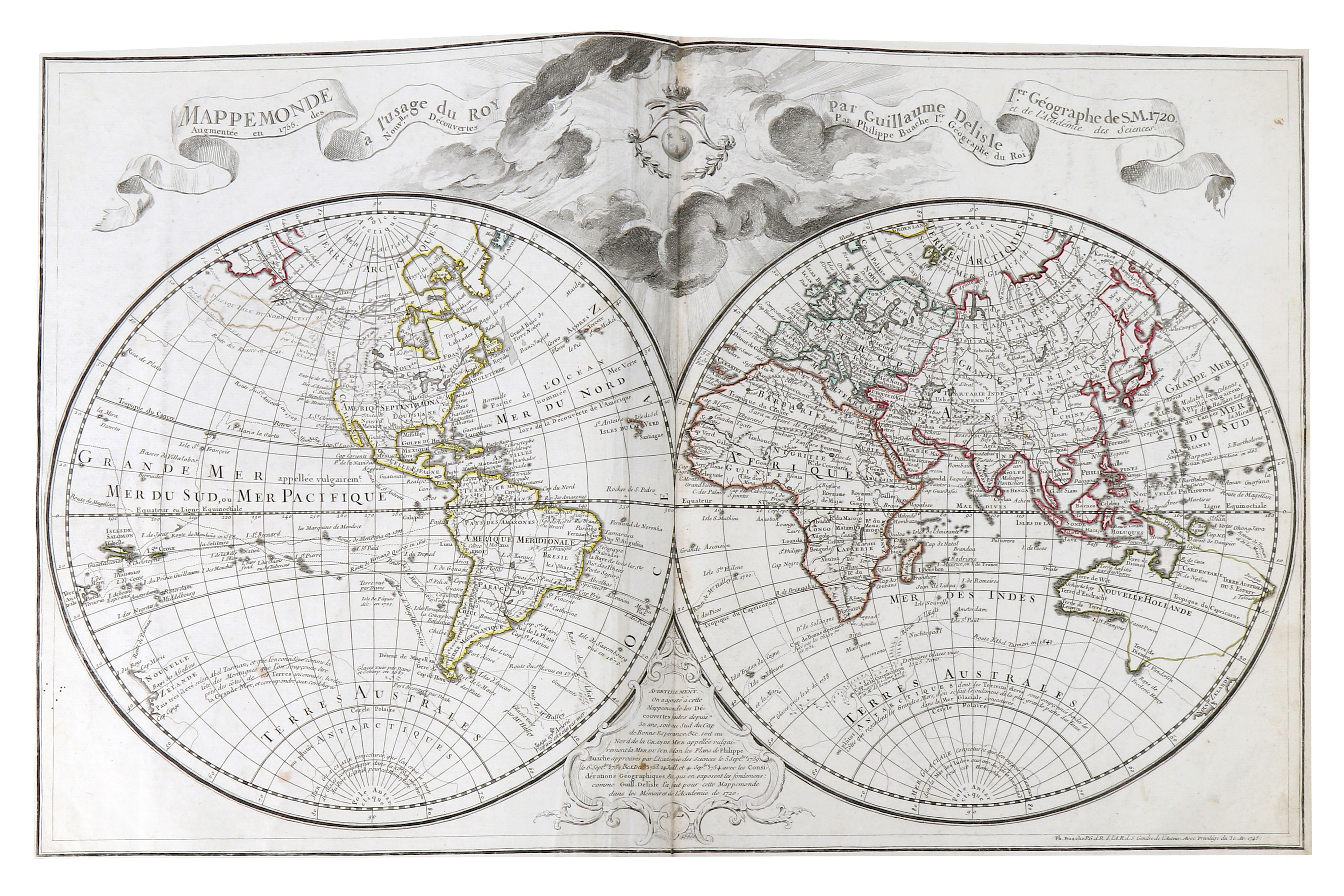
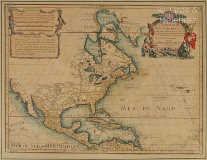
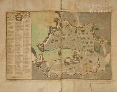
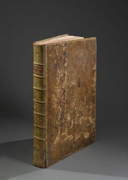
DELISLE, Guillaume (1675-1726). [Composite atlas]. Paris, ca 1725. Broadsheets (553 x 384 mm ). 99 double-page maps, most with outlines hand-colored, most by Delisle, 8 by Pierre Mortier, some with margins extended to establish uniform sizing for binding (map of France partly split along fold). 18th-century English diced russia gilt, morocco lettering piece on spine reading "De L'Isles Works and Other Mapps" (a few repairs at spine ends and corners). A fine composite atlas, the binding indicating it was probably assembled to order circa 1725 for an English client. The maps include "Mappemonde a l'usage du Roy" (1720); four hemispheric World maps (1714 and 1724); and "Plan de la Villes et Fauxbourgs de Paris" (1716). The eight maps relating to the Americas comprise: "Carte d'Amerique" (1722); "Carte du Canada ou de la Nouvelle France" (1703); "Carte de la Louisiane et du Cours du Mississipi" (1718); "Carte du Mexique et de la Floride" (1703, Schwartz & Ehrenberg pl. 82); "Carte des Antilles Françoises et des Isles Voisines" (1717); "Carte de l'Isle de Saint Domingue" (1725); "Carte de la Terre Ferme du Perou, du Bresil et du Pays des Amazones" (1703); "Carte du Paraguay du Chile" (1703). Also included is the "Orbis veteribus moti tabula nova" (1714). Delisle was renowned for the precision of his maps and the veracity he demanded of the information they were to include. His "Carte de la Louisiane et du Cours du Mississipi" is among the most important maps of the American West, informed by the maps of La Salle, Spanish expeditions and maps from Le Moyne. It was the first map to correct the position of the mouth of the Mississippi River and place it relatively near its correct location. The Mississippi Valley is for the first time aligned more-or-less as it should be. Wheat notes that "with their corrected course of the Mississippi and these many items farther west, [his maps] are towering landmarks along the path of Western cartographic development" (Wheat Mapping the Transmississippi West 99 and pp.58-59). See Cohen, Mapping the West pp.48-50.


Testen Sie LotSearch und seine Premium-Features 7 Tage - ohne Kosten!
Lassen Sie sich automatisch über neue Objekte in kommenden Auktionen benachrichtigen.
Suchauftrag anlegen