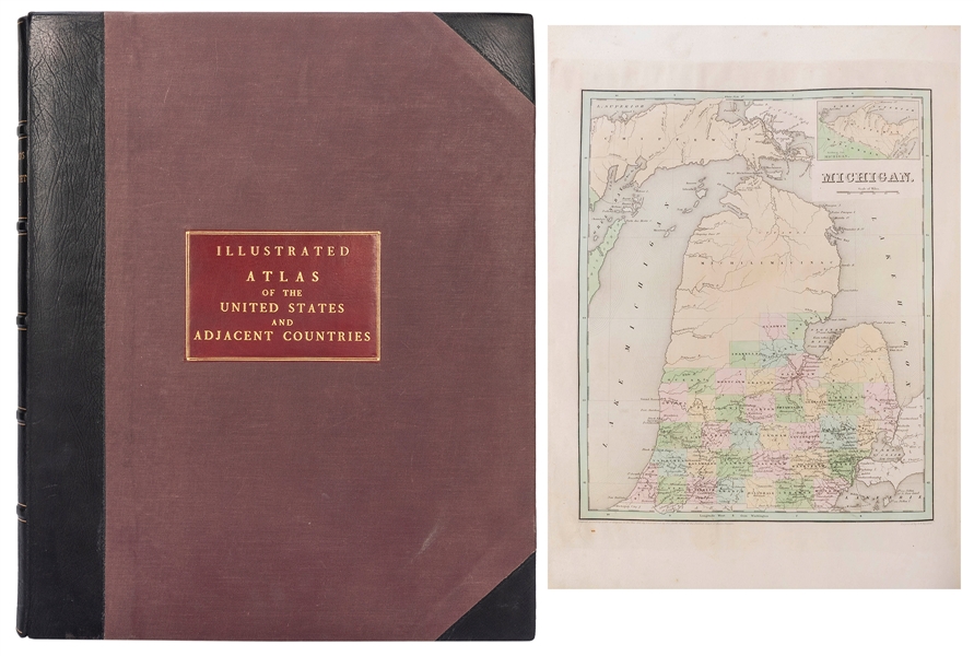
BRADFORD, Thomas Gamaliel (1802-87). An Illustrated Atlas, geographical, statistical & historical of the United States and adjacent Countries. Boston: Weeks, Jordan and Company, 1838.
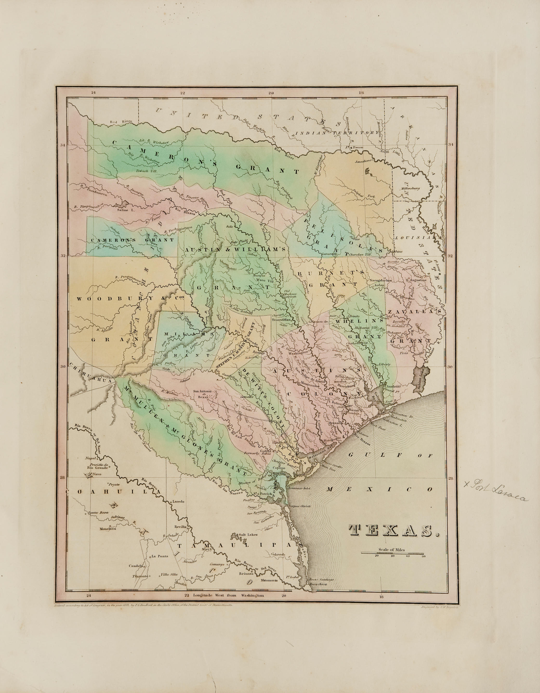
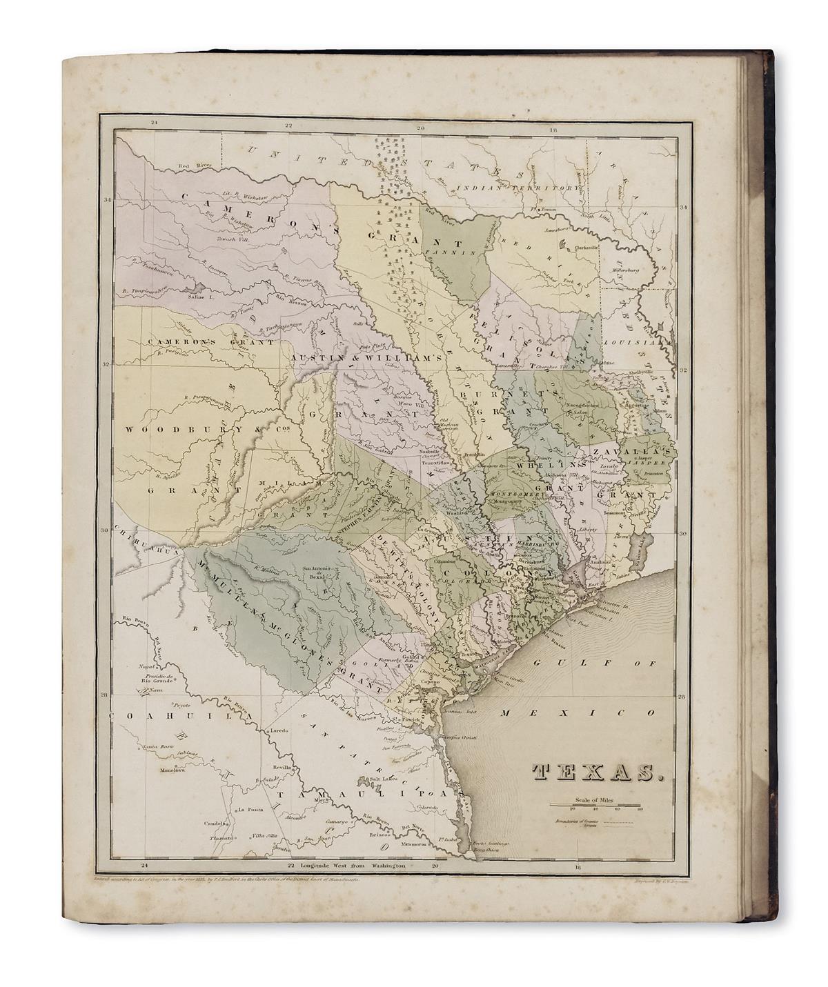
BRADFORD, Thomas Gamaliel (1802-87). An Illustrated Atlas, geographical, statistical & historical of the United States and adjacent Countries. Boston: Weeks, Jordan and Company, 1838. 2 o (494 x 407 mm). Tinted lithographic additional title with decorative surround, tinted lithographic frontispiece, 49 hand-coloured engraved maps and city plans by G. W. Boyton. (Some light browning and old stain affecting upper margins, occasional small expert repairs.) Publisher's black half roan, title blocked in gilt on upper cover, spine in five compartments with raised bands, lettered in gilt in the second, the band decorated in gilt (spine and corners neatly restored). FIRST EDITION of Bradford's important atlas. The maps include a general map of North America, two maps of Canada, a double-page map of the United States, 29 maps of states, including Texas, Wisconsin, Missouri, Arkansas, Louisiana, Mississippi and other states, a map of the islands of the Caribbean, 5 city-plans of eight U.S. cities (Washington, New Orleans, Louisville and Cincinnati on one sheet, and single sheet plans of Boston, New York, Philadelphia and Baltimore). Each map is accompanied by explanatory text on the history, economics and geography of the area, as well as a great deal of contemporary statistical information.



Testen Sie LotSearch und seine Premium-Features 7 Tage - ohne Kosten!
Lassen Sie sich automatisch über neue Objekte in kommenden Auktionen benachrichtigen.
Suchauftrag anlegen