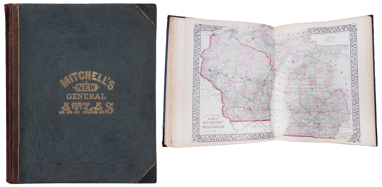
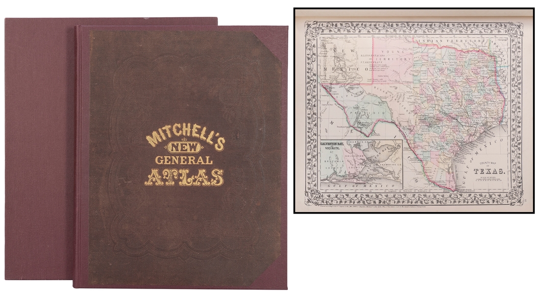
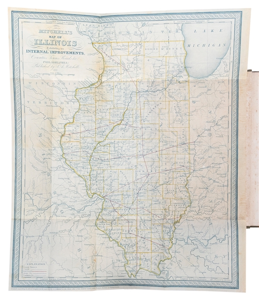
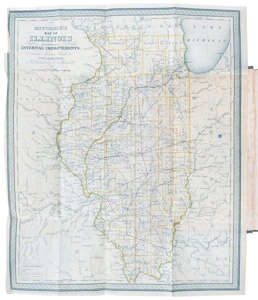
MITCHELL, Samuel Augustus (1790–1868). A New Universal Atlas Containing Maps of the various Empires, Kingdoms, States and Republics of the World with a special Map of each of the United States… Philadelphia: S. Augustus Mitchell, 1847. Folio (445 x 356 mm). Lithographic title with large vignette, hand–colored frontispiece of the heights of the principal mountains and lengths of the principal rivers (Plate No. 72), 72 hand–colored lithographed maps (map of Oregon and Upper California not called for in the table of contents and is unnumbered). (Some marginal browning, few tiny marginal paper repairs to frontispiece and front free endpaper). Original half diced red calf, green marbled sides, red straight–grain morocco title label gilt on upper cover (rebacked with matching spine, some surface wear to covers). SECOND MITCHELL EDITION, first published in 1846 after having acquired the rights to Henry Schenk Tanner’s “New Universal Atlas” from Carey & Hart. Mitchell would change many of the maps, including rendering the copperplates to lithographs, and would issue the atlas at least once a year until 1850, when he sold the rights to Thomas, Cowperthwait & Company and later were purchased by Charles DeSilver. Despite being an atlas of the world, most of the atlas is concentrated on the United States including several important early maps of Texas, the American West including California, and Midwest Territories. The map of Texas was published by C.S. Williams shortly after the state’s annexation to the United States. The map portrays early major roads, counties, settlements, battle sites including the 1836 Battle of San Jacinto, the persistent legends such as the “Silver Mine” west of San Antonio, and the legend Colorado Hills still appearing above Austin. West Texas is still shown as being occupied by Native American tribes. The map of Oregon and Upper California shows Oregon Territory extending to the Continental Divide with its northern boundary based upon the Treaty of 1846 with Britain and the southern boundary based upon the treaty of 1819 with Spain. Oregon City is shown as the capital. Lewis and Clarke’s route, Fremont’s Route, and the Oregon Trail are noted through wilderness dotted with a few missions, forts, and numerous Indian tribes. The area labeled Upper or New California includes present-day California, Nevada, Utah, Arizona, and parts of New Mexico, Colorado, and Wyoming. The capital is at Monterey, and the region where gold will eventually be found is named Nueva Helvetia. The unexplored interior is labeled and described as the Great Interior Basin of California, which is traversed by the Great Spanish Trail from P. Angelos to Santa Fe. The border with Mexico is substantially south of its true location leaving an expansive U.S. coastline on the Gulf of California. AN IMPORTANT AND QUINTESSENTIAL ATLAS OF THE 19TH CENTURY, that is becoming exceedingly difficult to find. Not in Phillips (only 1848 edition).
MITCHELL, Samuel Augustus (1790–1868). A New Universal Atlas Containing Maps of the various Empires, Kingdoms, States and Republics of the World with a special Map of each of the United States… Philadelphia: S. Augustus Mitchell, 1847. Folio (445 x 356 mm). Lithographic title with large vignette, hand–colored frontispiece of the heights of the principal mountains and lengths of the principal rivers (Plate No. 72), 72 hand–colored lithographed maps (map of Oregon and Upper California not called for in the table of contents and is unnumbered). (Some marginal browning, few tiny marginal paper repairs to frontispiece and front free endpaper). Original half diced red calf, green marbled sides, red straight–grain morocco title label gilt on upper cover (rebacked with matching spine, some surface wear to covers). SECOND MITCHELL EDITION, first published in 1846 after having acquired the rights to Henry Schenk Tanner’s “New Universal Atlas” from Carey & Hart. Mitchell would change many of the maps, including rendering the copperplates to lithographs, and would issue the atlas at least once a year until 1850, when he sold the rights to Thomas, Cowperthwait & Company and later were purchased by Charles DeSilver. Despite being an atlas of the world, most of the atlas is concentrated on the United States including several important early maps of Texas, the American West including California, and Midwest Territories. The map of Texas was published by C.S. Williams shortly after the state’s annexation to the United States. The map portrays early major roads, counties, settlements, battle sites including the 1836 Battle of San Jacinto, the persistent legends such as the “Silver Mine” west of San Antonio, and the legend Colorado Hills still appearing above Austin. West Texas is still shown as being occupied by Native American tribes. The map of Oregon and Upper California shows Oregon Territory extending to the Continental Divide with its northern boundary based upon the Treaty of 1846 with Britain and the southern boundary based upon the treaty of 1819 with Spain. Oregon City is shown as the capital. Lewis and Clarke’s route, Fremont’s Route, and the Oregon Trail are noted through wilderness dotted with a few missions, forts, and numerous Indian tribes. The area labeled Upper or New California includes present-day California, Nevada, Utah, Arizona, and parts of New Mexico, Colorado, and Wyoming. The capital is at Monterey, and the region where gold will eventually be found is named Nueva Helvetia. The unexplored interior is labeled and described as the Great Interior Basin of California, which is traversed by the Great Spanish Trail from P. Angelos to Santa Fe. The border with Mexico is substantially south of its true location leaving an expansive U.S. coastline on the Gulf of California. AN IMPORTANT AND QUINTESSENTIAL ATLAS OF THE 19TH CENTURY, that is becoming exceedingly difficult to find. Not in Phillips (only 1848 edition).


Testen Sie LotSearch und seine Premium-Features 7 Tage - ohne Kosten!
Lassen Sie sich automatisch über neue Objekte in kommenden Auktionen benachrichtigen.
Suchauftrag anlegen