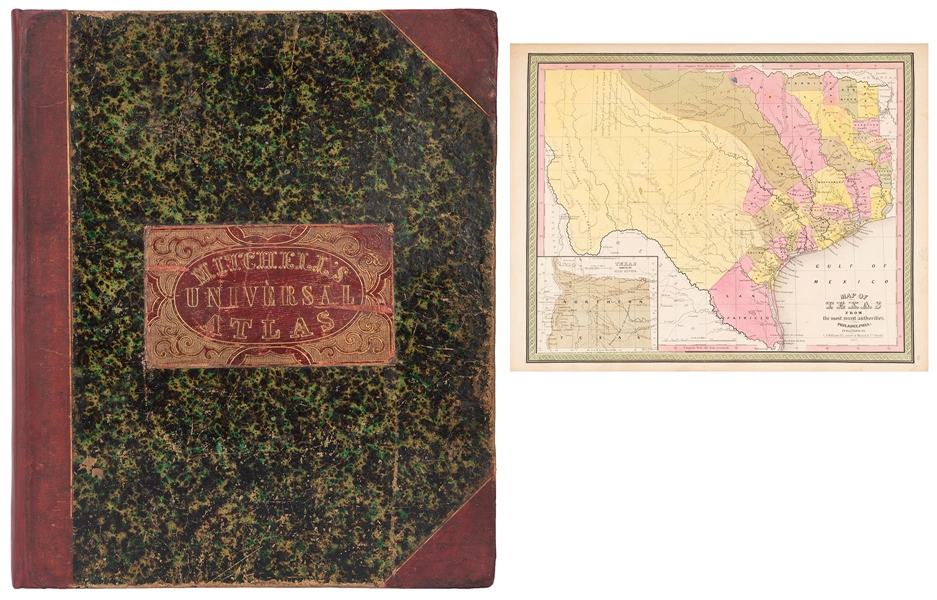
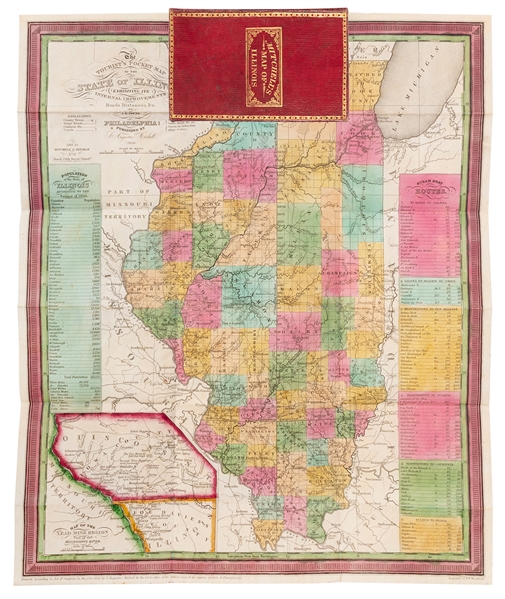
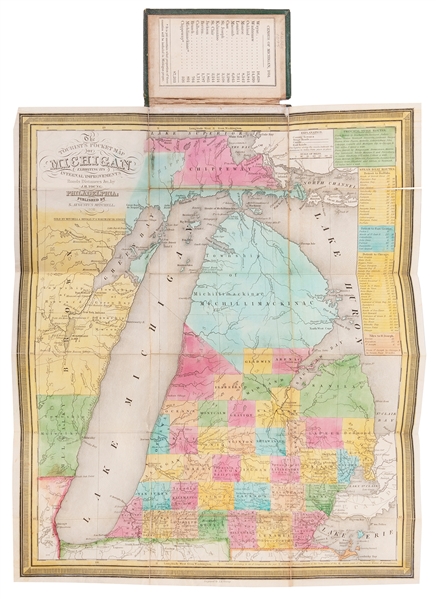
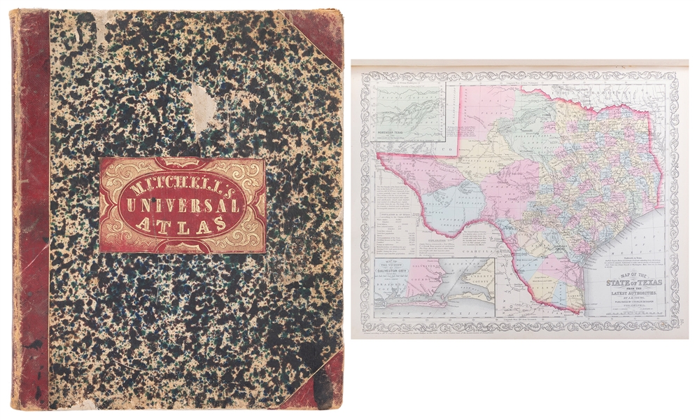
* MITCHELL, Samuel Augustus (1790-1868) A New Universal Atlas Containing Maps of the Various Empires, Kingdoms, States, and Republics of the World, with a Special Map of Each of the United States, Plans of Cities &c. Philadelphia: S. Augustus Mitchell, 1846. Folio (443 x 359 mm). Engraved title, engraved frontispiece, 71 hand-colored engraved maps. (Some overall staining or browning, some chipping to edges.) Original red half morocco gilt, marbled boards, red morocco lettering-piece gilt to upper cover (rebacked, repaired, some overall wear). Mitchell's atlas includes a map of Mexican California, and an early map of Texas as an independent territory. It includes city plans of New York, Philadelphia, Washington D.C., and New Orleans. The frontispiece is an illustrated chart depicting the "Heights of the Principal Mountains in the World." Phillips Atlases 6103. Estimate $ 1,200-1,800 Property from the Collection of Richard Coy, Ann Arbor, Michigan
* MITCHELL, Samuel Augustus (1790-1868) A New Universal Atlas Containing Maps of the Various Empires, Kingdoms, States, and Republics of the World, with a Special Map of Each of the United States, Plans of Cities &c. Philadelphia: S. Augustus Mitchell, 1846. Folio (443 x 359 mm). Engraved title, engraved frontispiece, 71 hand-colored engraved maps. (Some overall staining or browning, some chipping to edges.) Original red half morocco gilt, marbled boards, red morocco lettering-piece gilt to upper cover (rebacked, repaired, some overall wear). Mitchell's atlas includes a map of Mexican California, and an early map of Texas as an independent territory. It includes city plans of New York, Philadelphia, Washington D.C., and New Orleans. The frontispiece is an illustrated chart depicting the "Heights of the Principal Mountains in the World." Phillips Atlases 6103. Estimate $ 1,200-1,800 Property from the Collection of Richard Coy, Ann Arbor, Michigan


.jpg)

Testen Sie LotSearch und seine Premium-Features 7 Tage - ohne Kosten!
Lassen Sie sich automatisch über neue Objekte in kommenden Auktionen benachrichtigen.
Suchauftrag anlegen