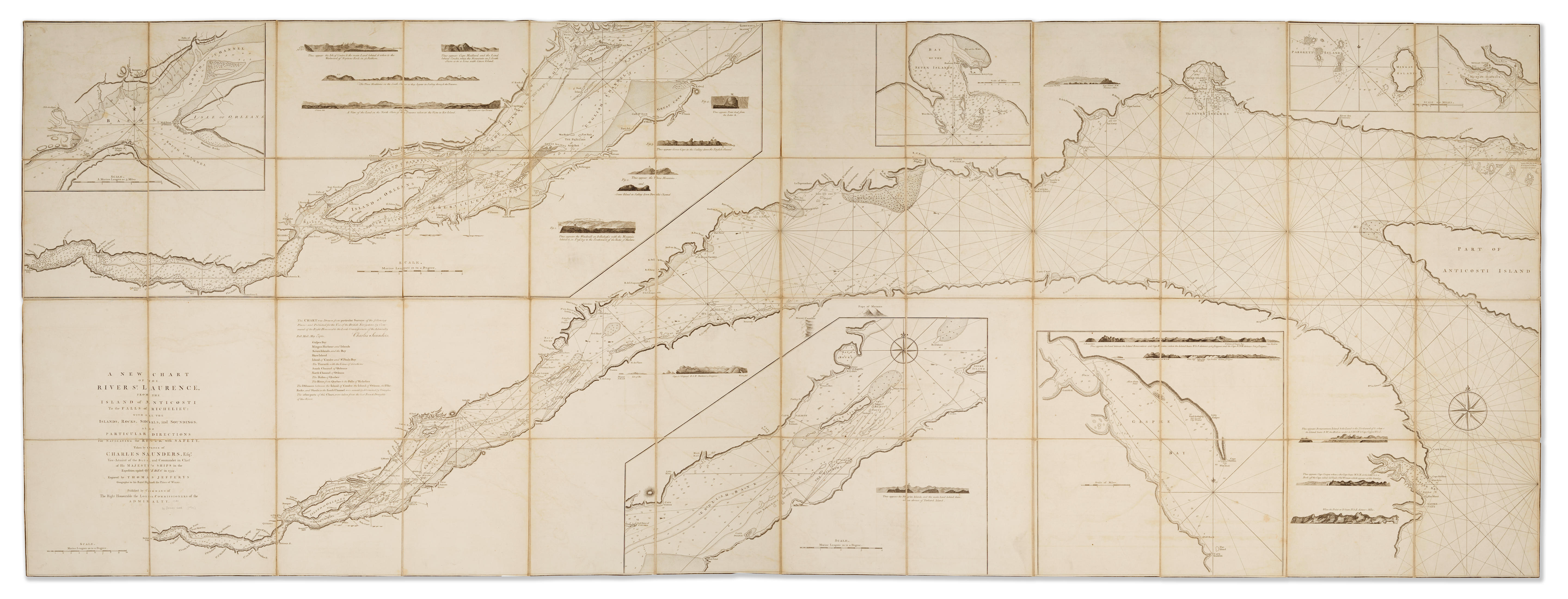
ST. LAWRENCE RIVER - FRENCH SCHOOL. [Manuscript charts of the St Lawrence, Gulf of St Lawrence and its Atlantic approaches] France: c.1755. Two manuscript charts, ink and wash on paper, each c.500 x 670mm. The first at a smaller scale showing the course of the St Lawrence from Quebec to Anticosti Island, showing principal obstructions and islands, the upper section of the map inset. The second chart covers the approaches to the St Lawrence including Newfoundland, Nova Scotia, and showing the various sandbanks of Sable Island and the Grand Banks of Newfoundland. Ruled borders, scale bars (left margins with later guards, lightly rubbed). An attractive pair of working charts for French navigation up the St Lawrence. The supply route along the St Lawrence was essential to the success of the defence of French Canada. After the early successes of the Marquis de Montcalm in 1756 with his capture of Fort Oswego and various English outposts on Lake Champlain. In 1758 William Pitt dispatched further troops under Generals Wolfe and Amherst. They captured the forts of Frontenac and then Louisbourg, in Nova Scotia, and opened up the approaches to the St Lawrence. British control of the seas stretched the French, and in 1759 Wolfe laid siege and captured Quebec, Montreal followed in 1760 and the French finally lost the control of Canada in the Treaty of Paris in 1763. (2)
ST. LAWRENCE RIVER - FRENCH SCHOOL. [Manuscript charts of the St Lawrence, Gulf of St Lawrence and its Atlantic approaches] France: c.1755. Two manuscript charts, ink and wash on paper, each c.500 x 670mm. The first at a smaller scale showing the course of the St Lawrence from Quebec to Anticosti Island, showing principal obstructions and islands, the upper section of the map inset. The second chart covers the approaches to the St Lawrence including Newfoundland, Nova Scotia, and showing the various sandbanks of Sable Island and the Grand Banks of Newfoundland. Ruled borders, scale bars (left margins with later guards, lightly rubbed). An attractive pair of working charts for French navigation up the St Lawrence. The supply route along the St Lawrence was essential to the success of the defence of French Canada. After the early successes of the Marquis de Montcalm in 1756 with his capture of Fort Oswego and various English outposts on Lake Champlain. In 1758 William Pitt dispatched further troops under Generals Wolfe and Amherst. They captured the forts of Frontenac and then Louisbourg, in Nova Scotia, and opened up the approaches to the St Lawrence. British control of the seas stretched the French, and in 1759 Wolfe laid siege and captured Quebec, Montreal followed in 1760 and the French finally lost the control of Canada in the Treaty of Paris in 1763. (2)


.jpg)

.jpg)


.jpg)
.jpg)
Testen Sie LotSearch und seine Premium-Features 7 Tage - ohne Kosten!
Lassen Sie sich automatisch über neue Objekte in kommenden Auktionen benachrichtigen.
Suchauftrag anlegen