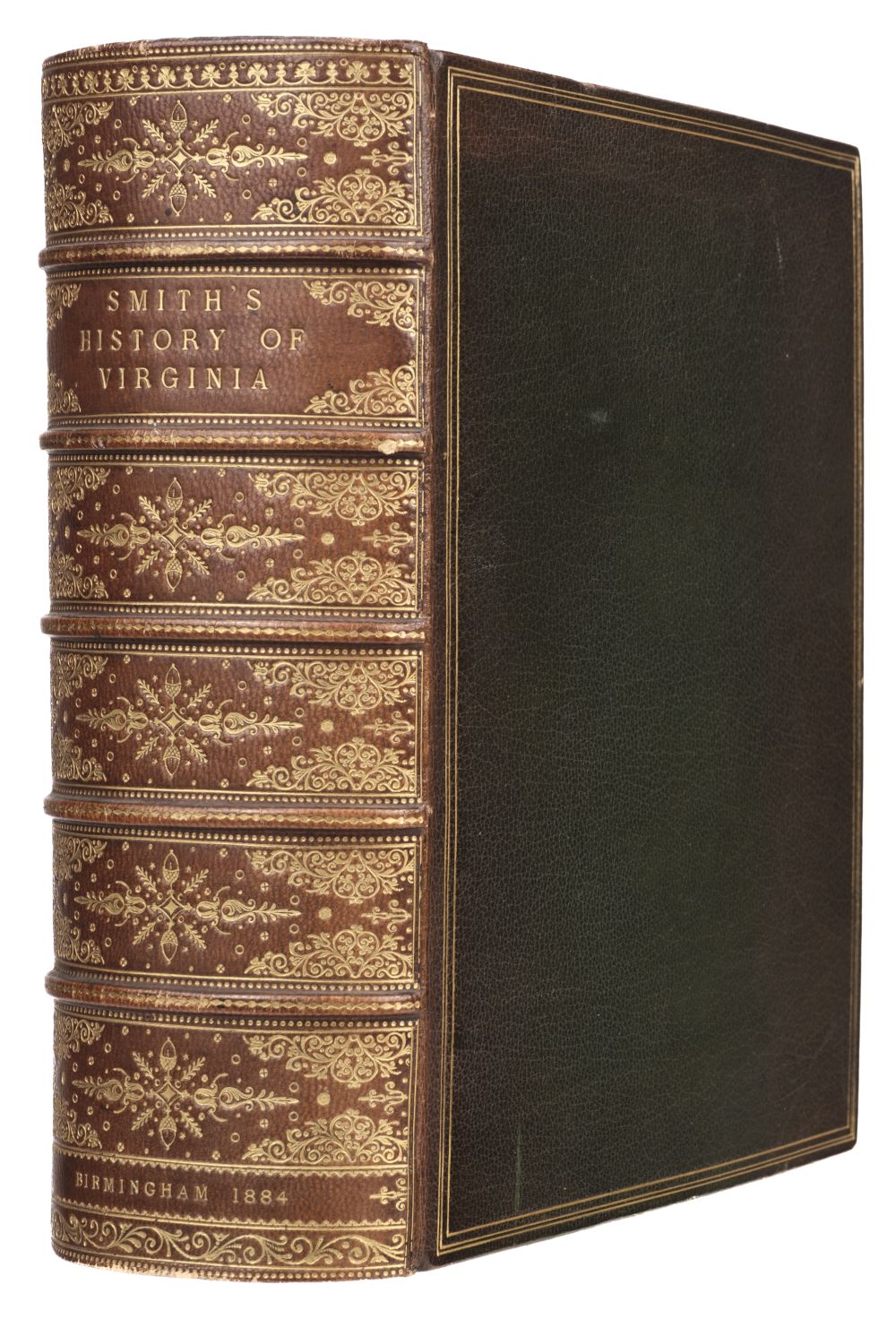
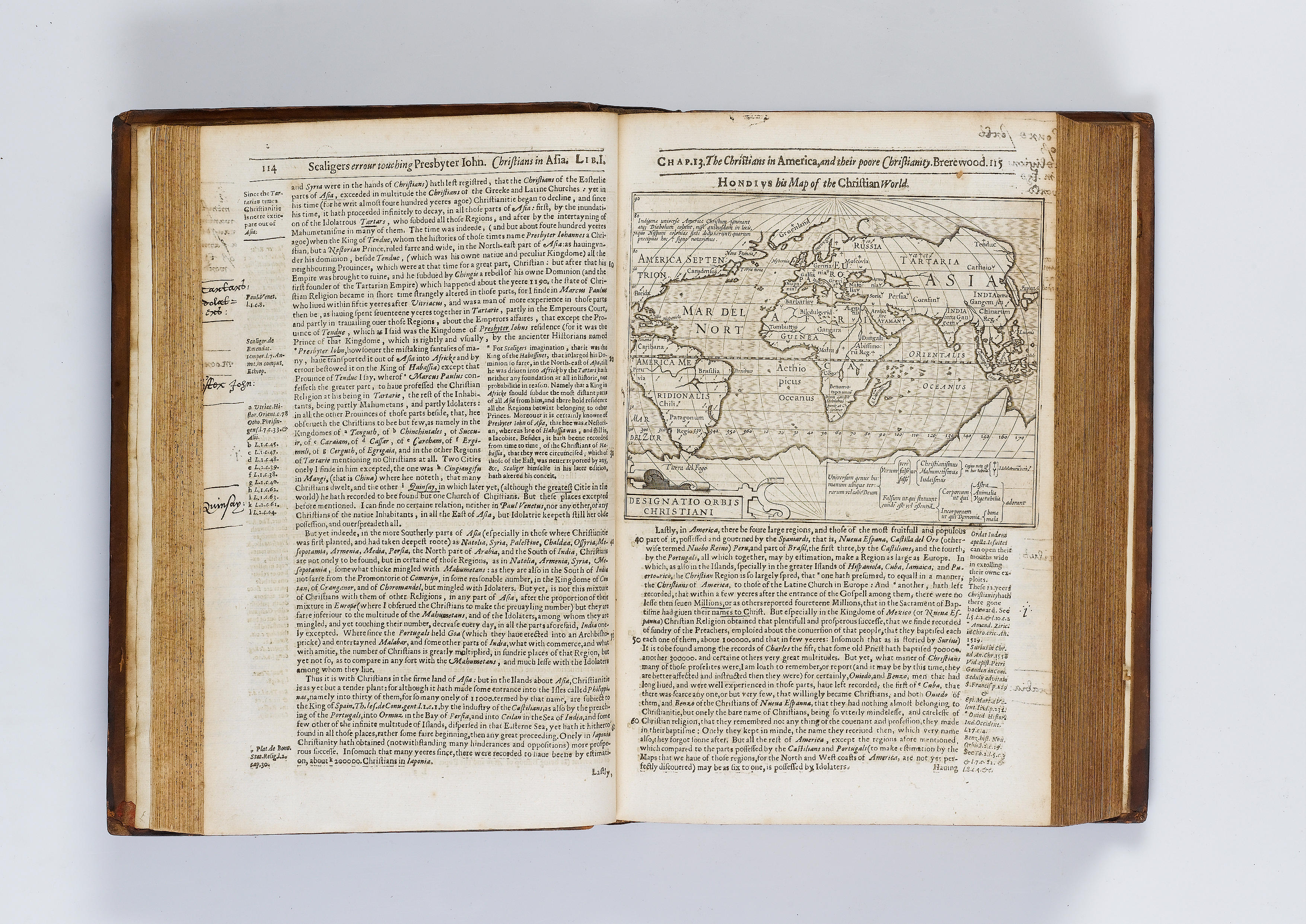
SMITH, Capt. John (1580-1631). Virginia . [London, circa 1624-25]. Engraved map, platemark 320 x 410 mm (sheet 352 x 423 mm). (Strengthened along folds on verso, 10-½-inch horizontal tear through image repaired verso, 1 inch by ¾-inch loss at right sheet edge renewed, several small holes in upper margin repaired, lightly browned and rubbed in several places.) According to Sabin and Tooley, tenth state of twelve, with the alteration of the Purchas page numbers now reading 1690 on the left and 1691 on the right. Along with states 8 and 9, the 10th state belongs inclusively to both Samuel Purchas' Purchas his Pilgrimes , 1625 and later issues of Smith's The Generall History of Virginia , first edition 1624. The 10th state was most likely corrected after the 8th and 9th states were corrected on the press, with these two states being distributed between the Purchas and History . This was probably done in late 1624 or early 1625. The plate was thereafter altered to the present state with the corrected Purchas numbers; more copies were then pulled for subsequent issues of both the Purchas and History . Of the complicated bibliographic history of the map, Tooley has this to say: "There is very little logic to the alterations made in the plate throughout the twelve states. The introduction of place names probably resulted from whimsey." Complication was compounded by the fact that for the History , it appears that most copies were pulled at the same time, whereas for the Purchas at least three distributions were made, with impressions pulled as needed. Purchas begins with state 7, and thereafter the states were intermingled between varying issues of the two works. The Smith map acheived a factual and accurate representation of the shape, proportions and orientation of the Chesapeake Bay. In addition to providing the first accurate record of the area, Smith's map also introduces some distinctive characteristics that were perpetuated in derivative maps. The most conspicuous of these is the overall shape and alignment of the bay. Coolie Verner, "Smith's Virginia and its Derivatives," in Tooley, The Mapping of America , pp.136ff; Sabin 82823.
SMITH, Capt. John (1580-1631). Virginia . [London, circa 1624-25]. Engraved map, platemark 320 x 410 mm (sheet 352 x 423 mm). (Strengthened along folds on verso, 10-½-inch horizontal tear through image repaired verso, 1 inch by ¾-inch loss at right sheet edge renewed, several small holes in upper margin repaired, lightly browned and rubbed in several places.) According to Sabin and Tooley, tenth state of twelve, with the alteration of the Purchas page numbers now reading 1690 on the left and 1691 on the right. Along with states 8 and 9, the 10th state belongs inclusively to both Samuel Purchas' Purchas his Pilgrimes , 1625 and later issues of Smith's The Generall History of Virginia , first edition 1624. The 10th state was most likely corrected after the 8th and 9th states were corrected on the press, with these two states being distributed between the Purchas and History . This was probably done in late 1624 or early 1625. The plate was thereafter altered to the present state with the corrected Purchas numbers; more copies were then pulled for subsequent issues of both the Purchas and History . Of the complicated bibliographic history of the map, Tooley has this to say: "There is very little logic to the alterations made in the plate throughout the twelve states. The introduction of place names probably resulted from whimsey." Complication was compounded by the fact that for the History , it appears that most copies were pulled at the same time, whereas for the Purchas at least three distributions were made, with impressions pulled as needed. Purchas begins with state 7, and thereafter the states were intermingled between varying issues of the two works. The Smith map acheived a factual and accurate representation of the shape, proportions and orientation of the Chesapeake Bay. In addition to providing the first accurate record of the area, Smith's map also introduces some distinctive characteristics that were perpetuated in derivative maps. The most conspicuous of these is the overall shape and alignment of the bay. Coolie Verner, "Smith's Virginia and its Derivatives," in Tooley, The Mapping of America , pp.136ff; Sabin 82823.


.jpg)


Testen Sie LotSearch und seine Premium-Features 7 Tage - ohne Kosten!
Lassen Sie sich automatisch über neue Objekte in kommenden Auktionen benachrichtigen.
Suchauftrag anlegen