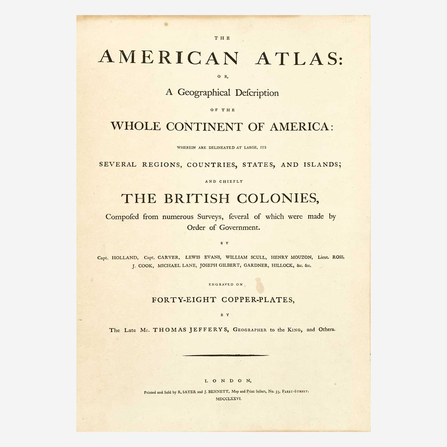
JEFFERYS, THOMAS & MEAD, BRADDOCK A Map of the Most Inhabited part of New England containing the Provinces of Massachusetts Bay... London: November 29th, 1774. Engraved map with hand-coloring on four sheets joined. The full sheet 41 1/2 x 39 3/4 inches (106 x 101 cm); framed. A very clean copy overall with very faint spotting, two tears professionally restored, toning to extremities outside plate marks. First issued in 1755, this is the 1774 fifth state of Braddock Mead's important and imposing map of New England, the first large scale map of the region, published in Thomas Jefferys' American Atlas. This is the final state of the map issued during the colonial period, providing accurate borders for the theater of the American Revolution. C
JEFFERYS, THOMAS & MEAD, BRADDOCK A Map of the Most Inhabited part of New England containing the Provinces of Massachusetts Bay... London: November 29th, 1774. Engraved map with hand-coloring on four sheets joined. The full sheet 41 1/2 x 39 3/4 inches (106 x 101 cm); framed. A very clean copy overall with very faint spotting, two tears professionally restored, toning to extremities outside plate marks. First issued in 1755, this is the 1774 fifth state of Braddock Mead's important and imposing map of New England, the first large scale map of the region, published in Thomas Jefferys' American Atlas. This is the final state of the map issued during the colonial period, providing accurate borders for the theater of the American Revolution. C


Testen Sie LotSearch und seine Premium-Features 7 Tage - ohne Kosten!
Lassen Sie sich automatisch über neue Objekte in kommenden Auktionen benachrichtigen.
Suchauftrag anlegen