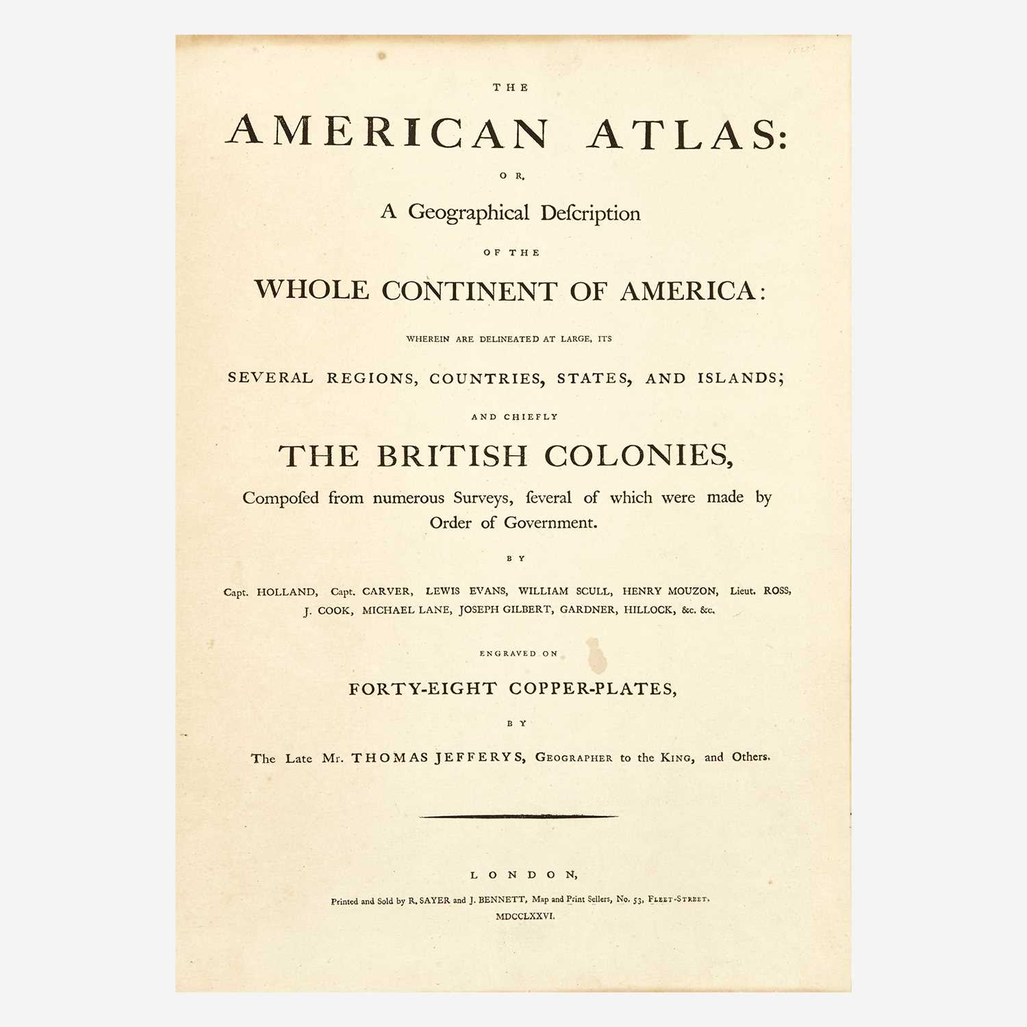
JEFFERYS, THOMAS and [MEAD, BRADDOCK aka GREEN, JOHN] A Map of the Most Inhabited part of New England, containing the Provinces... . [London:] Jefferys, 1755 [but circa 1768]. The 4th state, with the inset views of the Town of Boston and Boston Harbor, the note relating to the boundary between New York and New Hampshire inserted, and the imprint retaining the 1755 date (it reads in full: "November 29th, 1755 Published according to Act by Tho. Jefferys Geographer to his Royal Highness the Prince of Wales near Charing Cross"). Engraved map hand-colored in outline on four sheets joined, housed in two frames. When joined: 42 x 39 inches (1070 x 995 mm; 107 x 99.5 cm). Lightly toned, the lower map with one short tear along fold repaired on verso, two other short closed tears to the margin of the upper map, very small losses to two corners, the verso of each with the small numerals "15" and "16" in ink possibly referring to its placement in an atlas, a well preserved copy overall. A rare early state of one of the largest and most influential maps of 18th century New England. First published in 1755, this detailed map was compiled from numerous sources and re-issued four times before 1774. In these first four states, the most noticable alterations are the replacement of the inset view of Fort Frederick, which had been destroyed during the French & Indian War, with the view of the town of Boston as well as the updated spelling of "Konecticut" to "Connecticut." This fourth state is the first to report the updated border between New York and New Hampshire, the dispute over which had been resolved in 1764. The most commonly encountered issue is the 1774, included in Jefferys American Atlas, which updated the map and re-issued it at a time of intense interest in Revolutionary Boston. The first four states of the map are scarce in commerce with ABPC reporting only one copy of the 4th state sold at auction. See Pritchard and Taliaferro, Degrees of Latitude, pp. 177-179. C
JEFFERYS, THOMAS and [MEAD, BRADDOCK aka GREEN, JOHN] A Map of the Most Inhabited part of New England, containing the Provinces... . [London:] Jefferys, 1755 [but circa 1768]. The 4th state, with the inset views of the Town of Boston and Boston Harbor, the note relating to the boundary between New York and New Hampshire inserted, and the imprint retaining the 1755 date (it reads in full: "November 29th, 1755 Published according to Act by Tho. Jefferys Geographer to his Royal Highness the Prince of Wales near Charing Cross"). Engraved map hand-colored in outline on four sheets joined, housed in two frames. When joined: 42 x 39 inches (1070 x 995 mm; 107 x 99.5 cm). Lightly toned, the lower map with one short tear along fold repaired on verso, two other short closed tears to the margin of the upper map, very small losses to two corners, the verso of each with the small numerals "15" and "16" in ink possibly referring to its placement in an atlas, a well preserved copy overall. A rare early state of one of the largest and most influential maps of 18th century New England. First published in 1755, this detailed map was compiled from numerous sources and re-issued four times before 1774. In these first four states, the most noticable alterations are the replacement of the inset view of Fort Frederick, which had been destroyed during the French & Indian War, with the view of the town of Boston as well as the updated spelling of "Konecticut" to "Connecticut." This fourth state is the first to report the updated border between New York and New Hampshire, the dispute over which had been resolved in 1764. The most commonly encountered issue is the 1774, included in Jefferys American Atlas, which updated the map and re-issued it at a time of intense interest in Revolutionary Boston. The first four states of the map are scarce in commerce with ABPC reporting only one copy of the 4th state sold at auction. See Pritchard and Taliaferro, Degrees of Latitude, pp. 177-179. C


Testen Sie LotSearch und seine Premium-Features 7 Tage - ohne Kosten!
Lassen Sie sich automatisch über neue Objekte in kommenden Auktionen benachrichtigen.
Suchauftrag anlegen