WHITE, Charles A. Map of Washington Territory West of the Cascade Mountains . New York: G.W. & C.B. Colton & Co., 1870.
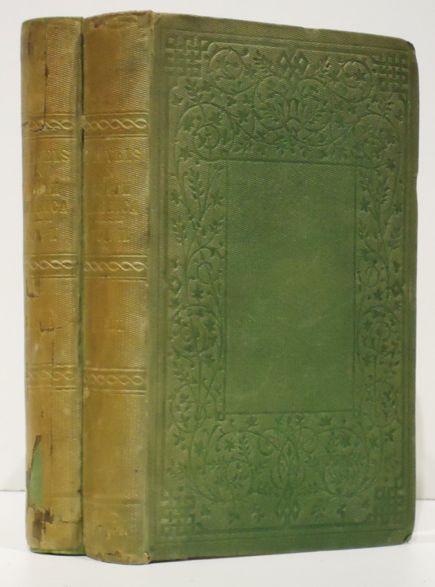
WHITE, Charles A. Map of Washington Territory West of the Cascade Mountains . New York: G.W. & C.B. Colton & Co., 1870. Lithographed map on four sheets, 123 x 167 cm, hand-colored. (Some creasing.) Original gilt-lettered cloth. Provenance : Thomas W. Streeter (book label; his sale, Sotheby's Parke-Bernet, part V, 23 October 1968, lot 3257). This large-scale map is attributed to Charles Abiathar White (1826-1910), the U.S. geologist who served as state geologist of Iowa and later participated in U.S. Geological Surveys in the West. It shows towns, cities, forts, wagon roads, Native American lands and reservations, government reserves, prairies, etc. Depths are shown by soundings, and part of Vancouver Island is shown. Major mountains, such as Mt. Rainier, Mt. Baker and Mt. Adams are also shown. VERY RARE: according to American Book Prices Current , only one other copy has sold in the last 35 years. OCLC locates no copies of the map in any institutional collections, although the map appears in the collections of Yale (Beinecke) and Library of Congress. OCLC states that the earliest separate map of Washington Territory was published in 1880. Phillips, p.997; Streeter sale V:3257 (this copy).


.jpg)


.jpg)
.jpg)


Testen Sie LotSearch und seine Premium-Features 7 Tage - ohne Kosten!
Lassen Sie sich automatisch über neue Objekte in kommenden Auktionen benachrichtigen.
Suchauftrag anlegen