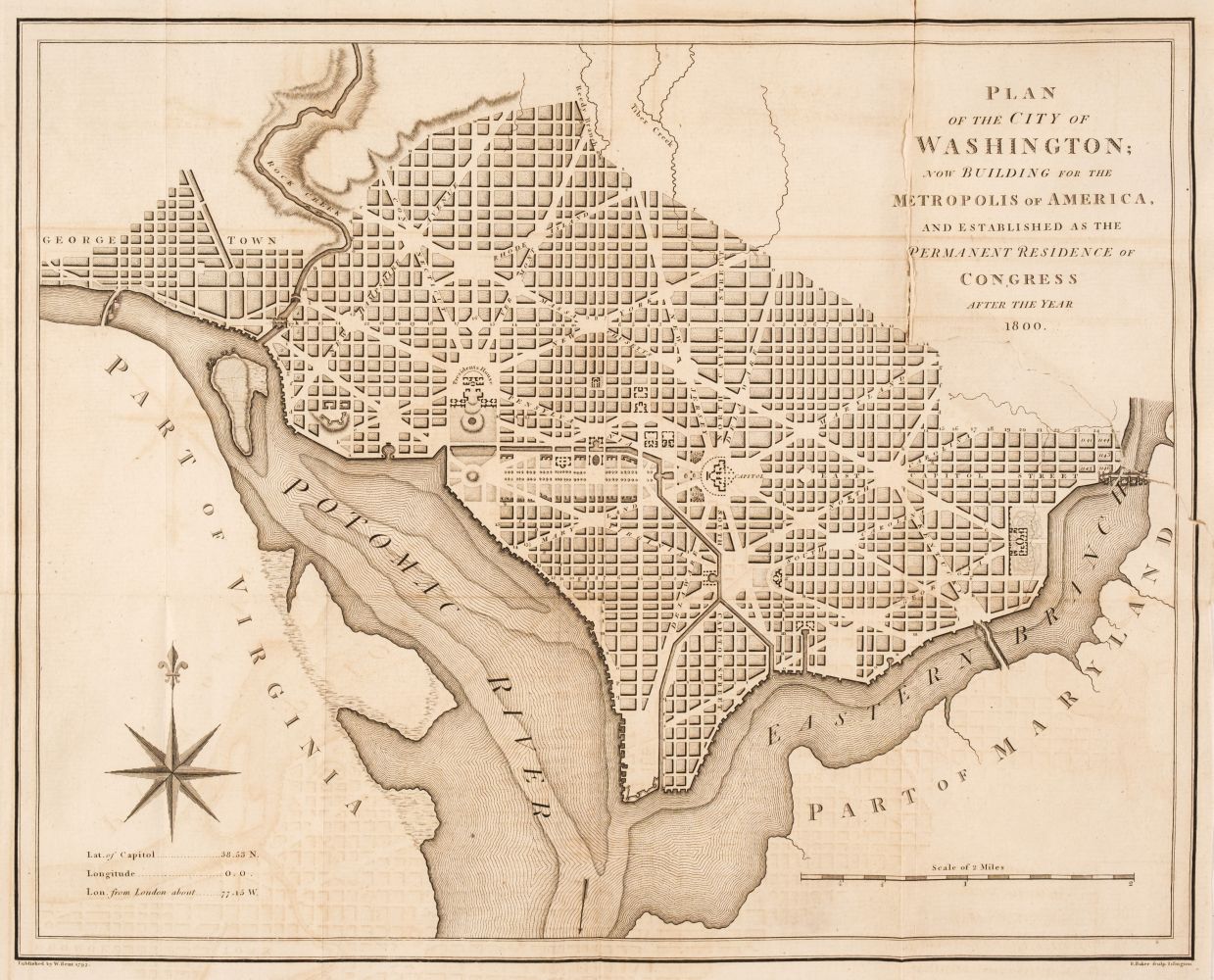
WASHINGTON, D.C.]. Plan of the City of Washington in the Territory of Columbia ceded by the States of Virginia and Maryland to the United States of America and by them established as the seat of their Government after the Year 1800 . [London: John Russell 1795].
WASHINGTON, D.C.]. Plan of the City of Washington in the Territory of Columbia ceded by the States of Virginia and Maryland to the United States of America and by them established as the seat of their Government after the Year 1800 . [London: John Russell 1795]. Engraved map, 513 x 534 mm (430 x 560 mm sheet). (Some reinforcements along folds on verso.) Based on the Ellicott plan, this map of Washington and Potomac River surroundings was published in William Winterbotham's An Historical, Geographical, Commercial and Philosophical View of the American United States , London, 1795 and then in New York, 1796. Engraved above the title is a shield bearing Washington's arms supported by female figures of Fame and Liberty. It is based on Andrew Ellicott's 1791 manuscript map which completed and illustrated Pierre Charles L'Enfant's design for the new capitol city. It shows the long, broad diagonal avenues laid over a grid street pattern. Early planned sites, such as the Mall, President's House and Capitol are depicted. The Russell plan is among the larger of the maps to be issued during the city's development. Howes W581; Phillips Atlases 1216; Phillips Maps , p.1005.


.jpg)


Testen Sie LotSearch und seine Premium-Features 7 Tage - ohne Kosten!
Lassen Sie sich automatisch über neue Objekte in kommenden Auktionen benachrichtigen.
Suchauftrag anlegen