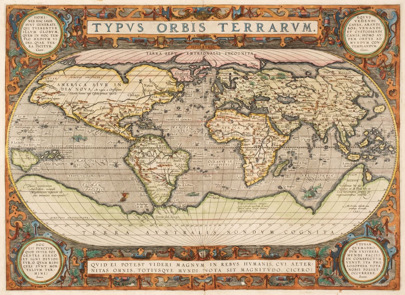
ORTELIUS, Abraham (1527-1598). Typus Orbis Terrarum. Antwerp, 1570 [1573].
ORTELIUS, Abraham (1527-1598). Typus Orbis Terrarum. Antwerp, 1570 [1573]. Engraved hand-colored world map, image 338 x 495 mm (404 x 534 mm sheet). Galleon and sea monsters, German text on verso (repaired along central fold, minor marginal staining, a few short tears repaired on verso, a few tiny chips). FIRST STATE. "For the first time, in 1570, all elements of the modern atlas were brought to publication in Abraham Ortelius Theatrum Orbis Terrarum . Ortelius' world map is a simplified one-sheet reduction of Mercator's large world map which had appeared the year before. Nearly all the legends, textual panels and decorative features have been omitted; between the oval circumference of the map and the outer frame are now clouds, and, below, a quotation from Cicero. For surviving correspondence it is known that Mercator generously encouraged Ortelius to make use of his published corpus of research; he also provided him with co-ordinates of places in America and perhaps elsewhere. South America retains the unusual bulged south-west coast drawn by Mercator. There is also a prudent comment adjacent to New Guinea querying whether this large island is part of the southern continent or not" (Shirley 122).


.jpg)


Testen Sie LotSearch und seine Premium-Features 7 Tage - ohne Kosten!
Lassen Sie sich automatisch über neue Objekte in kommenden Auktionen benachrichtigen.
Suchauftrag anlegen