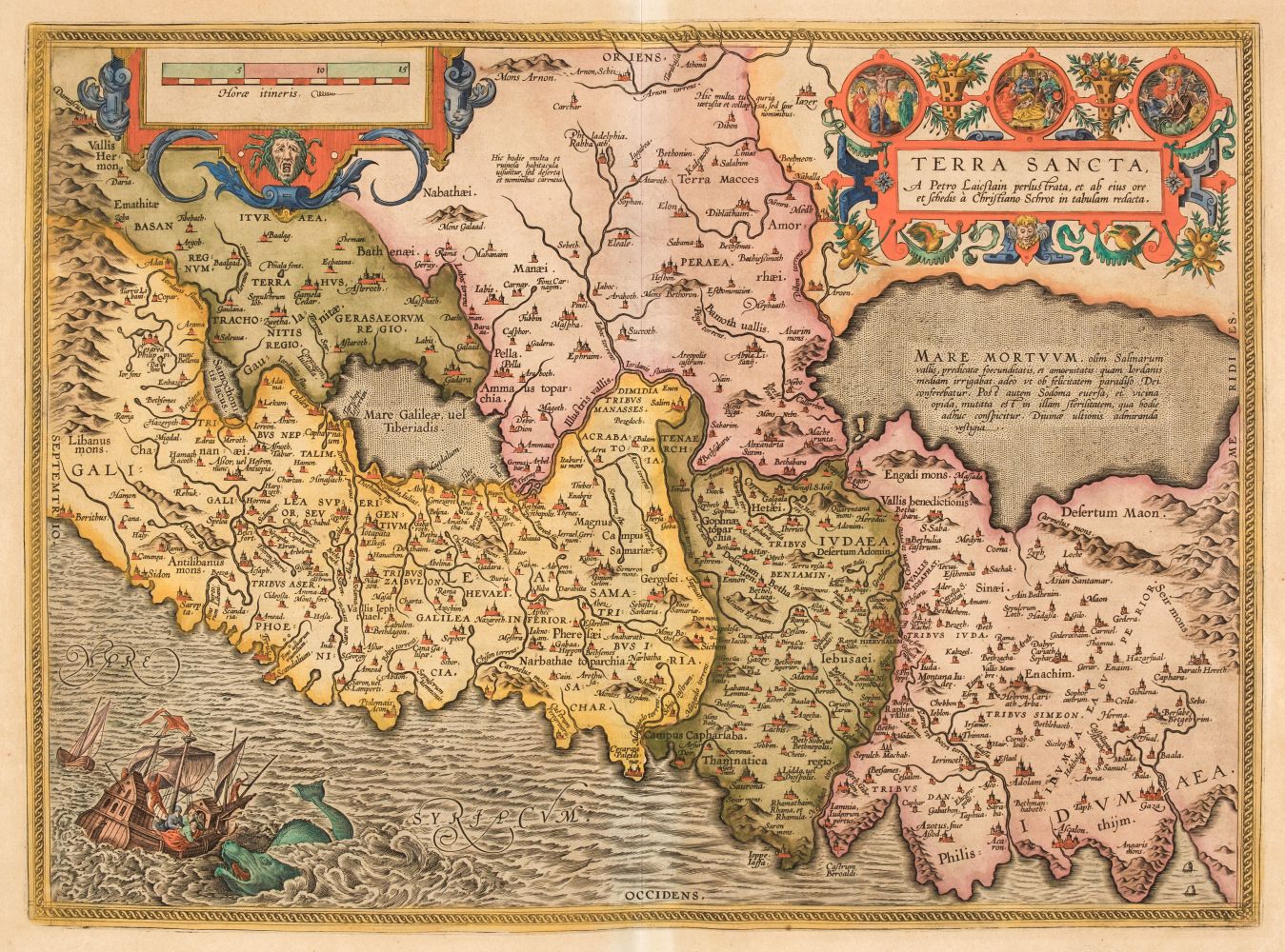
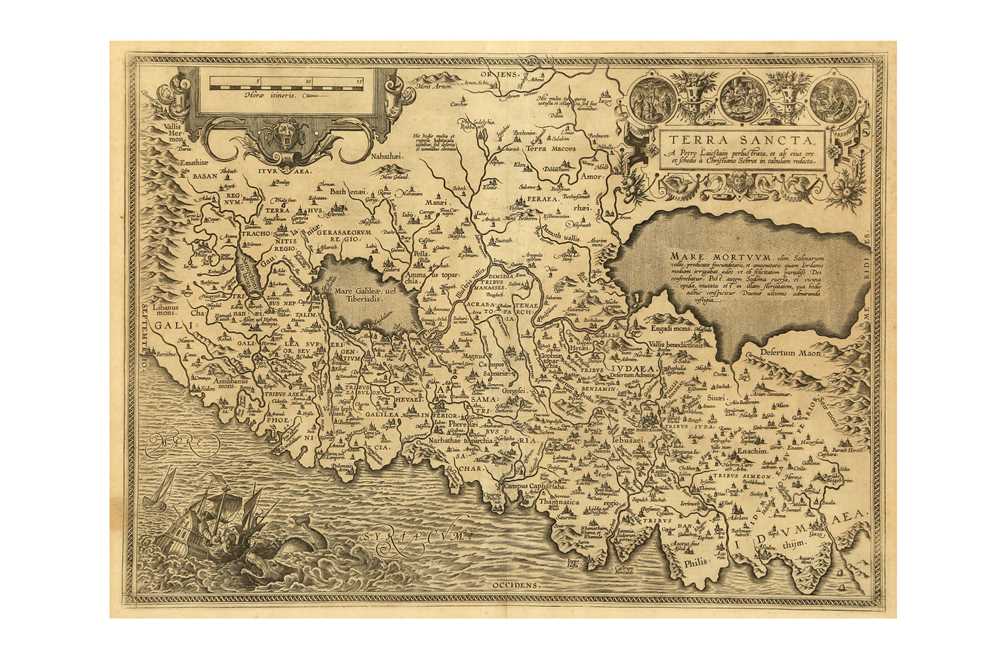
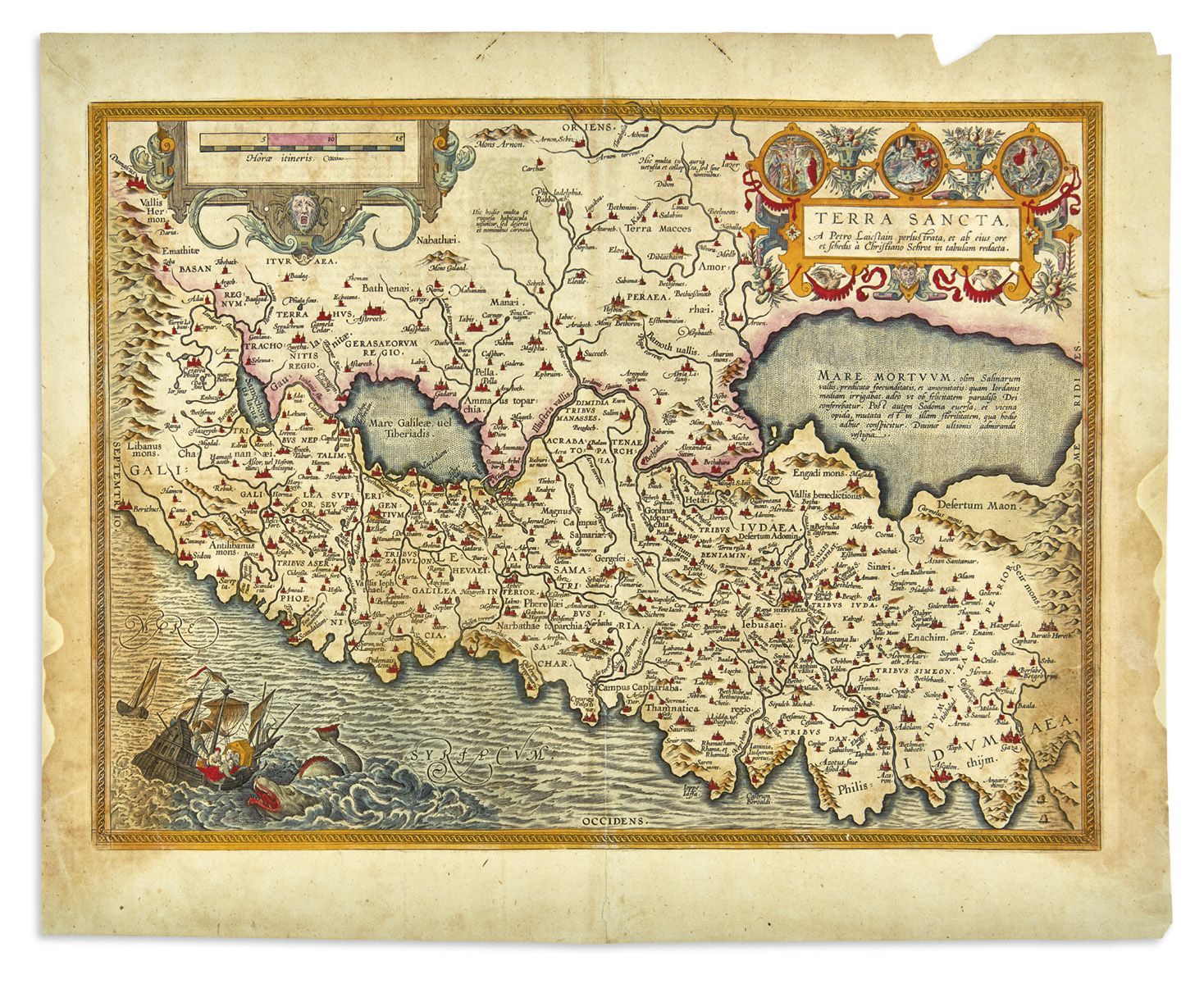
ORTELIUS, Abraham (1527-1598). Terra Sancta. [Antwerp: n.d.]. Hand-coloured engraved map of the Holy Land, title set in decorative cartouche at upper right surmounted by three vignettes of the birth, death and resurrection of Christ, scale bar set in decorative cartouche, vignette of Jonah being thrown to the whale at lower left (slight discolouration), 362 x 497mm., in window mount. The map is engraved after Petrus Laicstain and Christian Schrot and is oriented east to the top of the map showing the shoreline from Beirut to Gaza.
ORTELIUS, Abraham (1527-1598). Terra Sancta. [Antwerp: n.d.]. Hand-coloured engraved map of the Holy Land, title set in decorative cartouche at upper right surmounted by three vignettes of the birth, death and resurrection of Christ, scale bar set in decorative cartouche, vignette of Jonah being thrown to the whale at lower left (slight discolouration), 362 x 497mm., in window mount. The map is engraved after Petrus Laicstain and Christian Schrot and is oriented east to the top of the map showing the shoreline from Beirut to Gaza. With 3 other maps including 2 maps of the Holy Land by Ortelius, Palestinae sive totius terrae promissionis nova descriptio [Antwerp:] 1579. Hand-coloured engraved map of Northern Egypt and the Holy Land, two decorative baroque cartouches, scale bar, compass rose, sea decorated with galleons (slight discolouration), 339 x 457mm., in window mount; and Typus chorographicus celebrium locorum in regno Judae et Israhel. [Antwerp:] 1586. Hand-coloured engraved map of the Holy Land including Galilea to Beirouth, two large decorative baroque cartouches, scale bar, and table of explanations (slight discolouration), 350 x 456mm., in window mount. These maps are based on Stella's work and were included by Ortelius in the Theatrum Orbis Terrarum . Laor, Maps of the Holy Land , entries 543, 539, 546; and Johannes Cloppenbergh's Iaponia (Amsterdam, c. 1630). (4)


Testen Sie LotSearch und seine Premium-Features 7 Tage - ohne Kosten!
Lassen Sie sich automatisch über neue Objekte in kommenden Auktionen benachrichtigen.
Suchauftrag anlegen