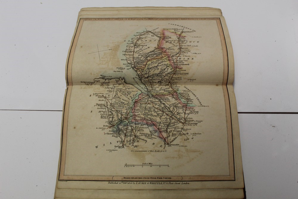
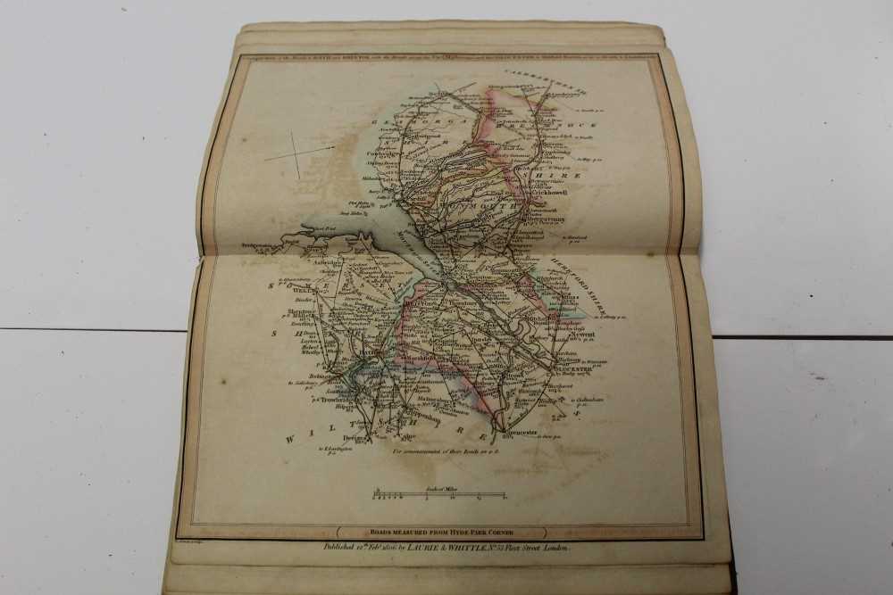
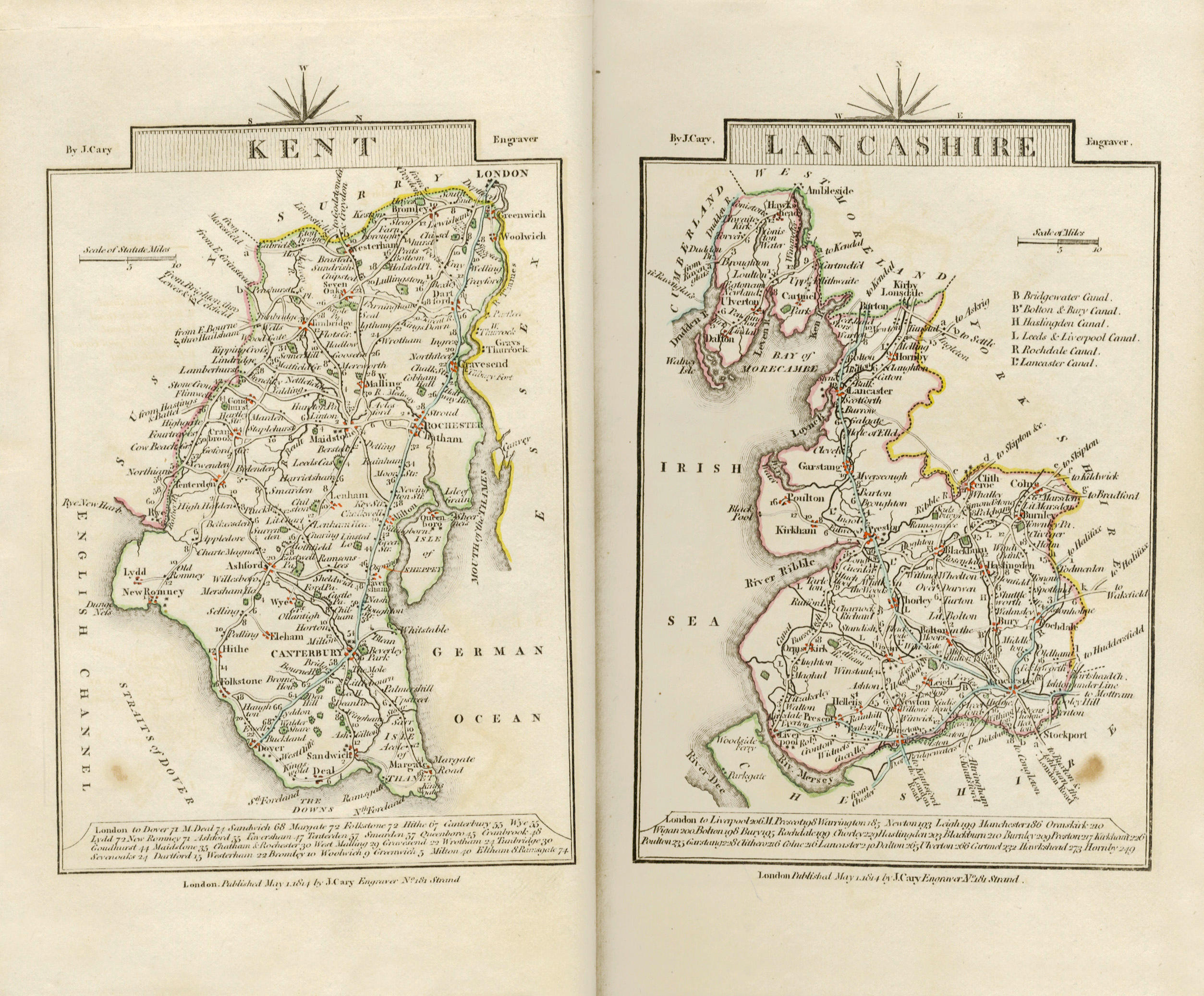
New Traveller's Companion, sixth edition, folding general map (defective) and 25 double-page road maps, hand-coloured in outline, browned, corners trimmed throughout, disbound and defective, 8vo, 1812; A New Survey of the Environs of London, folding engraved map, hand-coloured in outline, dissected and laid on linen, slipcase with printed title label, worn, 693 x 557mm., Laurie and Whittle, 1816--[LEWIS (SAMUEL) Atlas to the Topographical Dictionary of England], engraved folding map of England and plan of London, 41 engraved county maps (some folding, one torn), soiling and browning, disbound, 4to, [c.1840]--BOWEN (EMMANUEL) An Accurate Map of the County of Suffolk, folding engraved map, hand-coloured in outline, dissected and laid on linen, 724 x 540mm., Carrington Bowles, [c.1760]; and others including folding maps of East Anglia (by Ebden), England and Wales (by Cary) and France (also by Cary), together with 104 loose county maps from Dugdale's England & Wales Delineated and other works (quantity)
New Traveller's Companion, sixth edition, folding general map (defective) and 25 double-page road maps, hand-coloured in outline, browned, corners trimmed throughout, disbound and defective, 8vo, 1812; A New Survey of the Environs of London, folding engraved map, hand-coloured in outline, dissected and laid on linen, slipcase with printed title label, worn, 693 x 557mm., Laurie and Whittle, 1816--[LEWIS (SAMUEL) Atlas to the Topographical Dictionary of England], engraved folding map of England and plan of London, 41 engraved county maps (some folding, one torn), soiling and browning, disbound, 4to, [c.1840]--BOWEN (EMMANUEL) An Accurate Map of the County of Suffolk, folding engraved map, hand-coloured in outline, dissected and laid on linen, 724 x 540mm., Carrington Bowles, [c.1760]; and others including folding maps of East Anglia (by Ebden), England and Wales (by Cary) and France (also by Cary), together with 104 loose county maps from Dugdale's England & Wales Delineated and other works (quantity)


Testen Sie LotSearch und seine Premium-Features 7 Tage - ohne Kosten!
Lassen Sie sich automatisch über neue Objekte in kommenden Auktionen benachrichtigen.
Suchauftrag anlegen