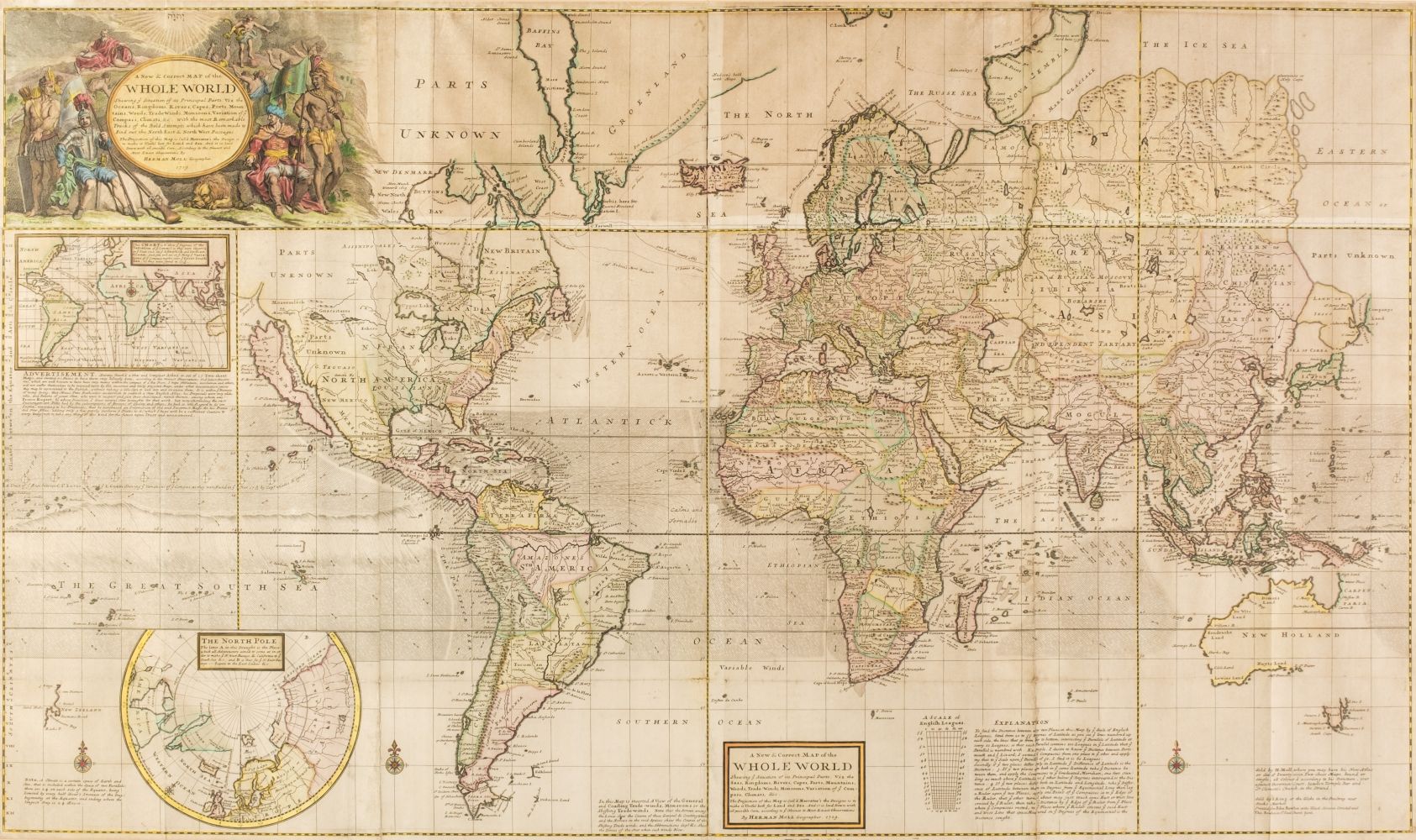
MOLL, Herman (1654-1732). A New and Exact Map of the Dominions of the King of Great Britain... Containing Newfoundland, New Scotland, New England, New York, New Jersey, Pensilvania, Maryland, Virginia and Carolina. According to the Newest and most exact observations by Herman Moll Geographer. [London]: T. Bowles, John Bowles and J. King, 1715 [but 1755].
MOLL, Herman (1654-1732). A New and Exact Map of the Dominions of the King of Great Britain... Containing Newfoundland, New Scotland, New England, New York, New Jersey, Pensilvania, Maryland, Virginia and Carolina. According to the Newest and most exact observations by Herman Moll Geographer. [London]: T. Bowles, John Bowles and J. King, 1715 [but 1755]. Engraved map of the East Coast of North America, on two joined sheets, image 1018 x 610 mm (1060 x 636 mm sheet), colored by a contemporary hand, elaborate cartouche in lower center with dedication to the Honourable William Dowglass, five inset maps or scenes added in lower portion, including "A Map of the Improved Part of Carolina", "A Map of the Principal Part of North America", "A View of ye Industry of Beavers in Canada", "A Draught of ye Town and Harbour of Charles-Town", and a map of Louisiana and East Florida. (Some light browning and staining, narrow stain along central joint.) Framed. Moll's famous "Beaver Map" (state 5) and his most celebrated effort as it documents the ongoing dispute between Great Britain and France over the boundaries separating their colonies in America. The map explains the postal routes throughout the British territories and is generally thought to be the first postal map of the colonies. In sections of text Moll describes the Iroquois along the Appalachian Mountains as "...hearty friends to the English..." and explains the terms outlined in the Treaty of Utrecht. The striking beaver scene inset serves to not only symbolize the industriousness needed to settle in America but also the lucrative fur trade spreading wealth and opportunity among the colonies. Degrees of Latitude 19; Kershaw II:331; Tooley The Mapping of America 55.

.jpg)


Testen Sie LotSearch und seine Premium-Features 7 Tage - ohne Kosten!
Lassen Sie sich automatisch über neue Objekte in kommenden Auktionen benachrichtigen.
Suchauftrag anlegen