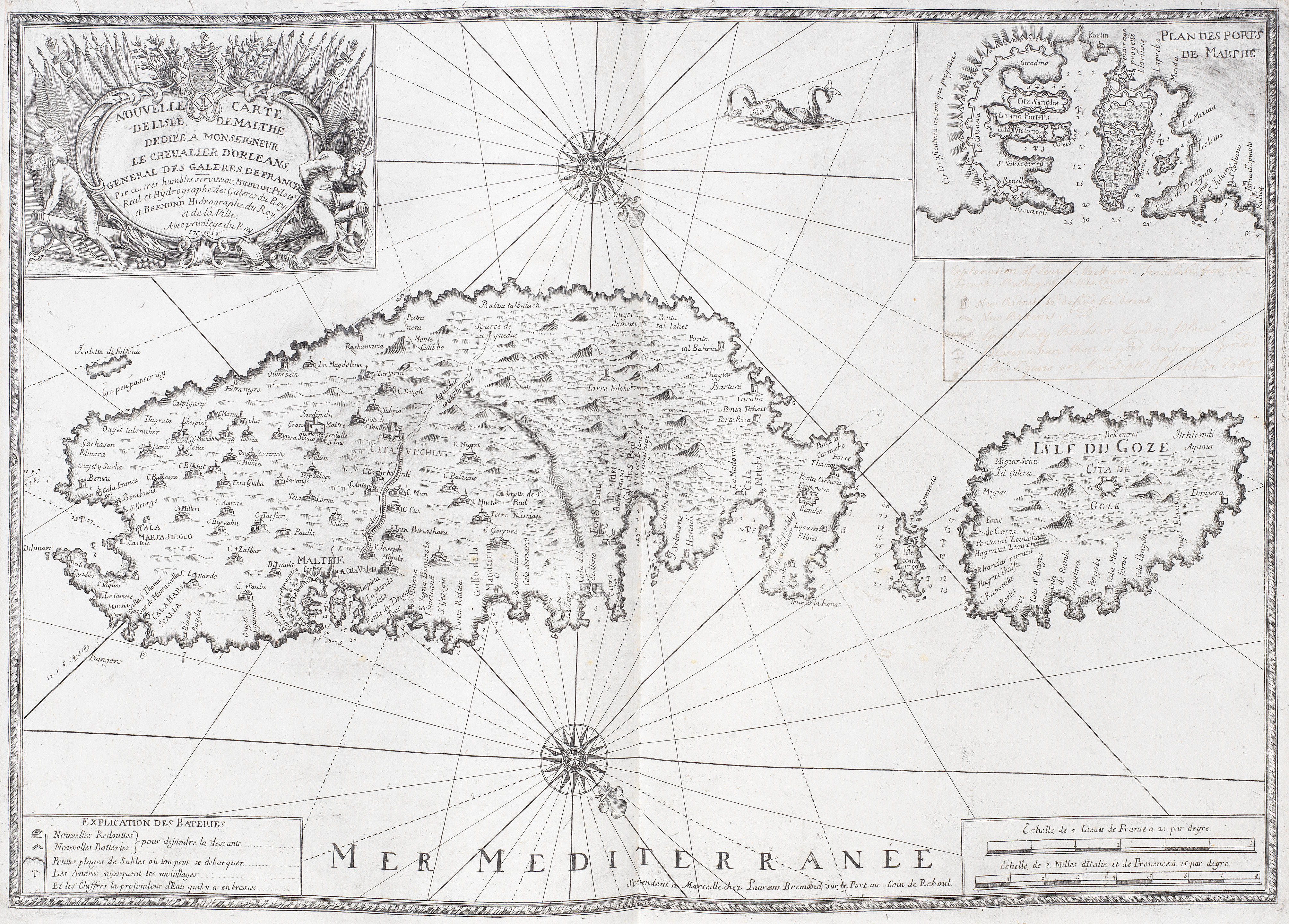
MICHELOT, Henri & Laurent BREMOND. Nouvelle Carte de Côtes de Catalogne, Roussillon, Languedoc, Provence, d' Italie et Partie de l' Isle de Corce. Marseilles: chez Laurent Bremond, 1718. Engraved map, 6 inset plans of ports, 3 compass roses, title within elaborate cartouche (torn at centrefold, a few other shorter, a few wormtracks, some light soiling), 1,360 x 465mm.
MICHELOT, Henri & Laurent BREMOND. Nouvelle Carte de Côtes de Catalogne, Roussillon, Languedoc, Provence, d' Italie et Partie de l' Isle de Corce. Marseilles: chez Laurent Bremond, 1718. Engraved map, 6 inset plans of ports, 3 compass roses, title within elaborate cartouche (torn at centrefold, a few other shorter, a few wormtracks, some light soiling), 1,360 x 465mm. With 37 other miscellaneous maps including John Senex's A Correct Map of Spain & Portugal (London, [n.d.]), Hubert Jaillot's L' Espagne (Paris, [n.d.]), Samuel Dunn's The East India Islands (London, 1789) and James Playfair's North America (Edinburgh, 1821), all unframed. (38)
.jpg?w=400)
.jpg)

.jpg)


Testen Sie LotSearch und seine Premium-Features 7 Tage - ohne Kosten!
Lassen Sie sich automatisch über neue Objekte in kommenden Auktionen benachrichtigen.
Suchauftrag anlegen