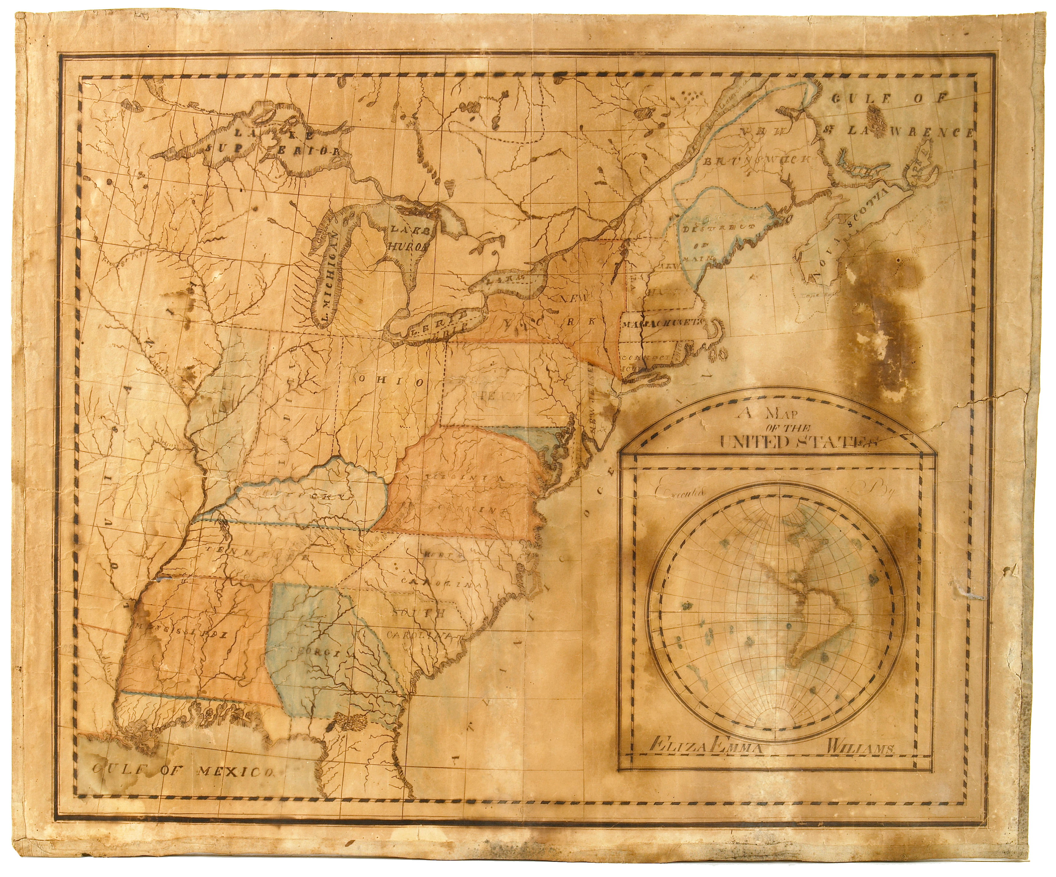
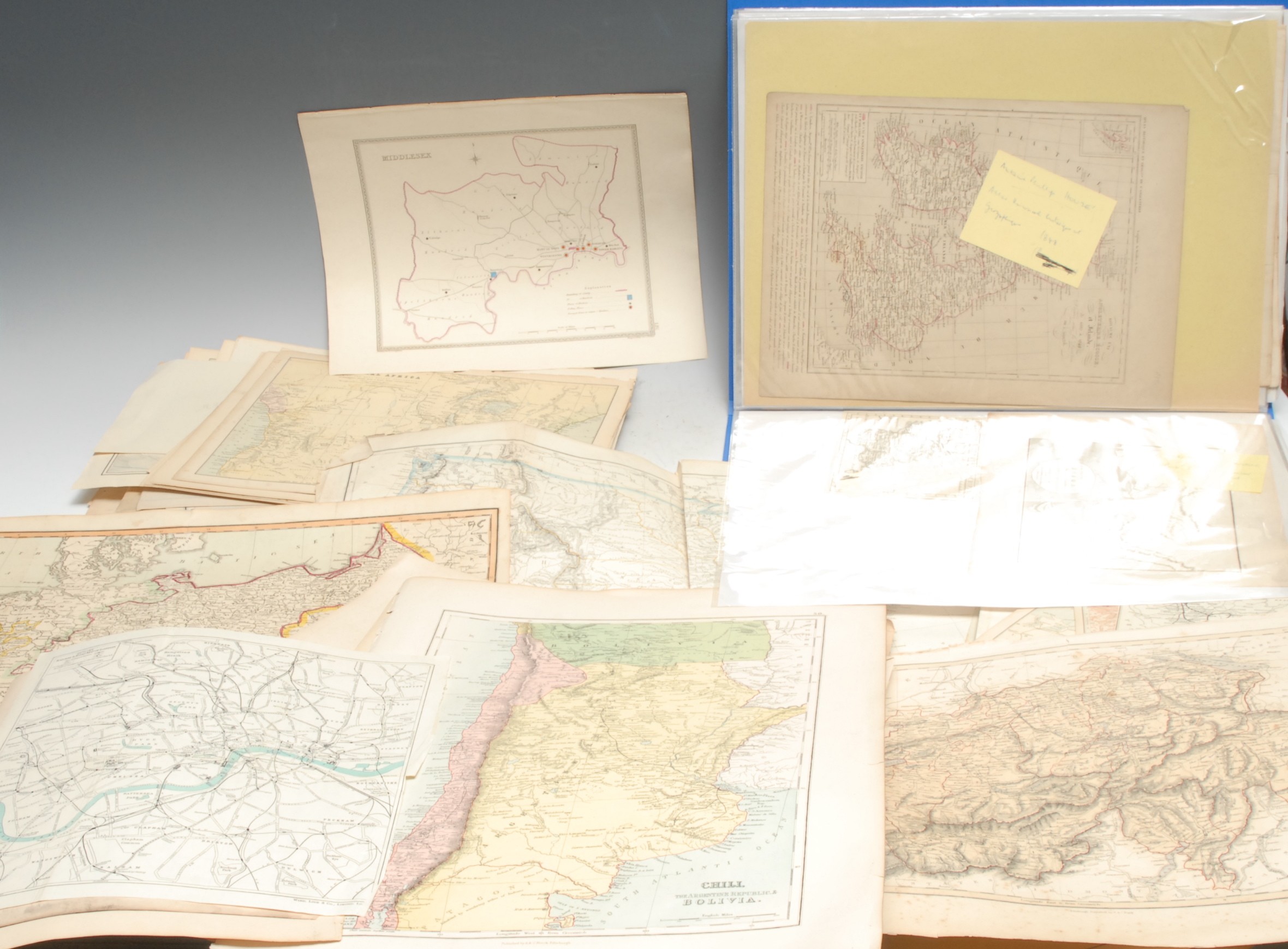
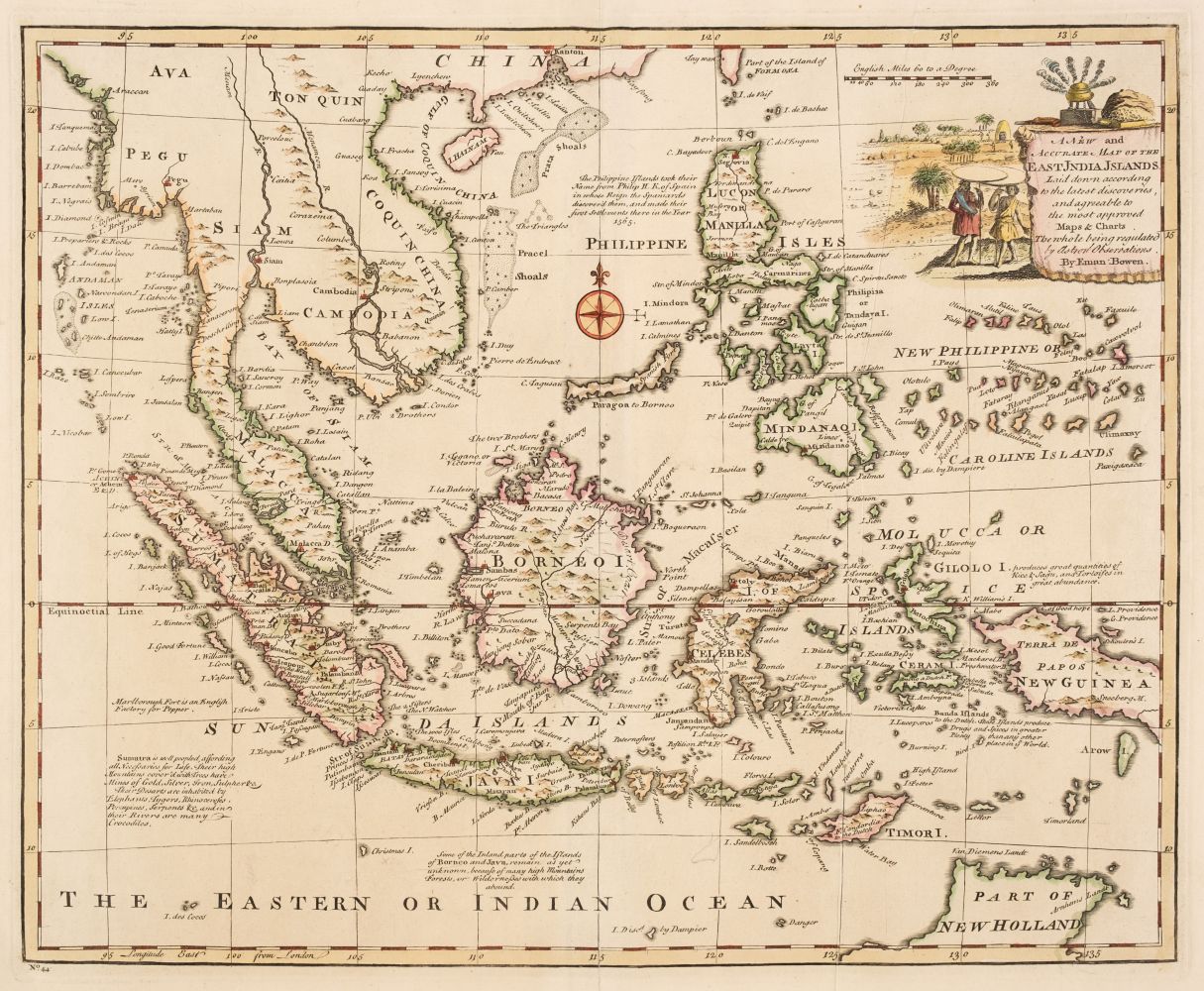
Lot of 8: Gray, Frank A. Arizona and New Mexico. Verso with Gray's New Map of Utah. Atlas map, full hand color, relief shown by hachures. From Gray's The National Atlas. Containing Elaborate Topographical Maps of the United and the Dominion of Canada,... Philadelphia: W.O. Gray & Son, 1886. New England and New York. Warner & Beers. 15 x 18 in . sheet. Full hand-color (counties) with heavier state outlines; decorative geometric border. From Lloyd, H.H. Atlas of the United States. Chicago: Warner & Beers, 1872, p. 67. Johnson’s New Illustrated Family Atlas. Publ. by Johnson and Browning, 1861 (undated), pp 23-24. This map only appears in the 1860-1862 editions of Johnson’s Atlas. It was redesigned after 1862. This is about the time Johnson was taking over J.H. Colton’s firm, under somewhat secretive circumstances, the details of which remain uncertain to this day. Mitchell, S. Augustus. County Map of the State of Maine. 12.25 x 15 in. sheet, full hand-color, decorative foliate border. Atlas map from Mitchell’s New General Atlas, Containing Maps of the Various Countries of the World, Plans of Cities, etc…. Philadelphia: S. Augustus Mitchell, Jr., 1867, p.12. Mitchell, S. Augustus. New Hampshire and Vermont. 12.25 x 15 in. sheet, full hand color, decorative foliate border. Atlas map from Mitchell’s New General Atlas,…. Philadelphia: S. Augustus Mitchell, Jr., 1870, p. 14. Printed a bit “cocked” on sheet. Mitchell, S. Augustus. County Map of Minnesota. 11. 5 x 13.75 in. on 12.5 x 15 in. sheet. Full hand-color with decorative foliate border. Atlas map from Mitchell's New General Atlas, Containing maps of the various countries of the world, plans of cities, etc., embraced in sixty-three quarto maps, forming a series of one hundred maps and plans, together with valuable statistical tables. Philadelphia: S. Augustus Mitchell, Jr., 1870. Page number 50. Asher & Adams' Minnesota. 17.5 x 24.25 in. double sheet. Full hand-color with heavier state outlines. Atlas map from Asher & Adams' New Statistical and Topographical Atlas of the United States.... New York: Asher & Adams, 1872. pp 83-84. Asher & Adams' Michigan. 17.5 x 24.25 in. double sheet. Full hand-color with heavier state outlines. Atlas map from same volume as above. 1872. pp.63-64. Condition: Minor edge toning and scuffing. Generally very good overall.
Lot of 8: Gray, Frank A. Arizona and New Mexico. Verso with Gray's New Map of Utah. Atlas map, full hand color, relief shown by hachures. From Gray's The National Atlas. Containing Elaborate Topographical Maps of the United and the Dominion of Canada,... Philadelphia: W.O. Gray & Son, 1886. New England and New York. Warner & Beers. 15 x 18 in . sheet. Full hand-color (counties) with heavier state outlines; decorative geometric border. From Lloyd, H.H. Atlas of the United States. Chicago: Warner & Beers, 1872, p. 67. Johnson’s New Illustrated Family Atlas. Publ. by Johnson and Browning, 1861 (undated), pp 23-24. This map only appears in the 1860-1862 editions of Johnson’s Atlas. It was redesigned after 1862. This is about the time Johnson was taking over J.H. Colton’s firm, under somewhat secretive circumstances, the details of which remain uncertain to this day. Mitchell, S. Augustus. County Map of the State of Maine. 12.25 x 15 in. sheet, full hand-color, decorative foliate border. Atlas map from Mitchell’s New General Atlas, Containing Maps of the Various Countries of the World, Plans of Cities, etc…. Philadelphia: S. Augustus Mitchell, Jr., 1867, p.12. Mitchell, S. Augustus. New Hampshire and Vermont. 12.25 x 15 in. sheet, full hand color, decorative foliate border. Atlas map from Mitchell’s New General Atlas,…. Philadelphia: S. Augustus Mitchell, Jr., 1870, p. 14. Printed a bit “cocked” on sheet. Mitchell, S. Augustus. County Map of Minnesota. 11. 5 x 13.75 in. on 12.5 x 15 in. sheet. Full hand-color with decorative foliate border. Atlas map from Mitchell's New General Atlas, Containing maps of the various countries of the world, plans of cities, etc., embraced in sixty-three quarto maps, forming a series of one hundred maps and plans, together with valuable statistical tables. Philadelphia: S. Augustus Mitchell, Jr., 1870. Page number 50. Asher & Adams' Minnesota. 17.5 x 24.25 in. double sheet. Full hand-color with heavier state outlines. Atlas map from Asher & Adams' New Statistical and Topographical Atlas of the United States.... New York: Asher & Adams, 1872. pp 83-84. Asher & Adams' Michigan. 17.5 x 24.25 in. double sheet. Full hand-color with heavier state outlines. Atlas map from same volume as above. 1872. pp.63-64. Condition: Minor edge toning and scuffing. Generally very good overall.


Testen Sie LotSearch und seine Premium-Features 7 Tage - ohne Kosten!
Lassen Sie sich automatisch über neue Objekte in kommenden Auktionen benachrichtigen.
Suchauftrag anlegen