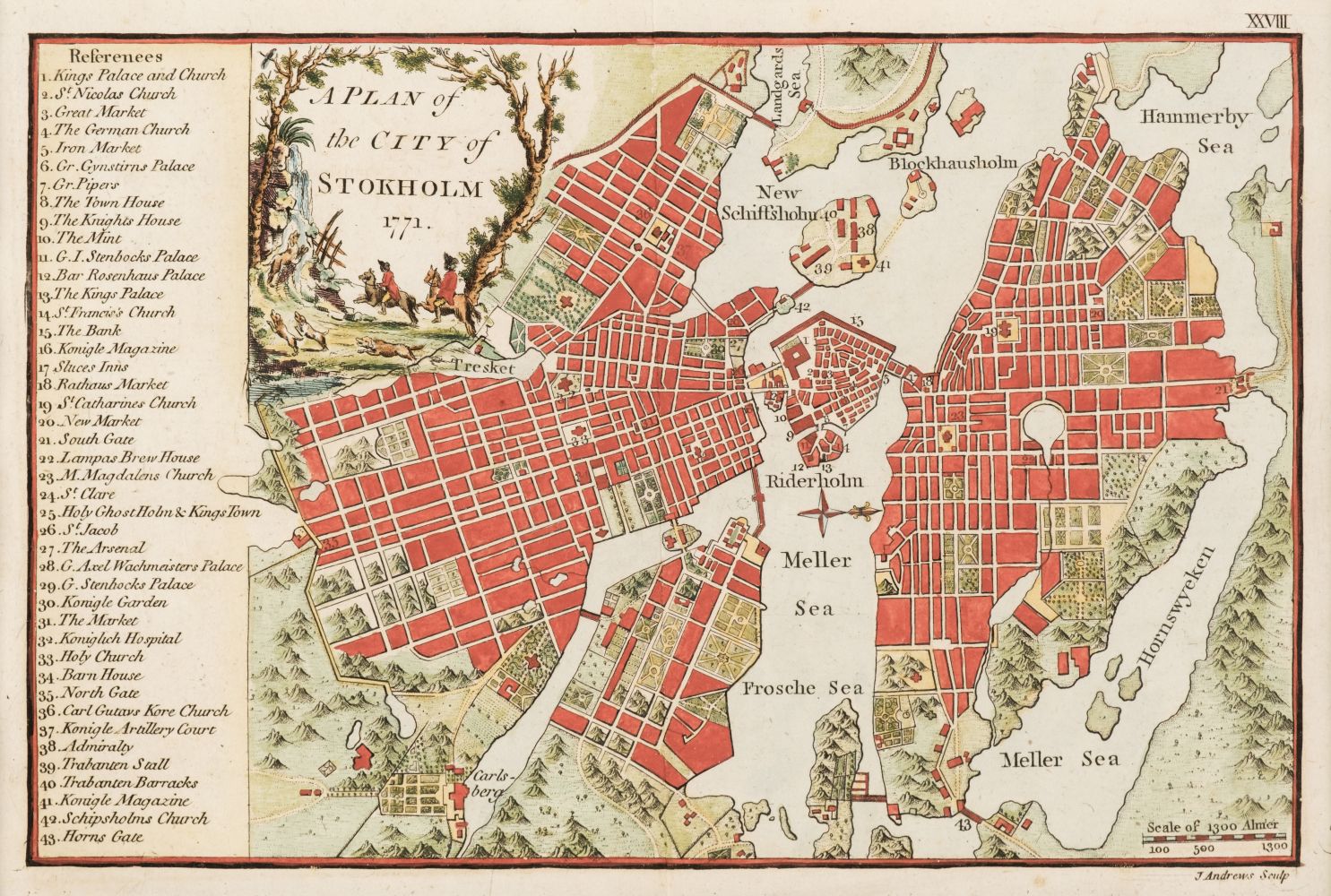
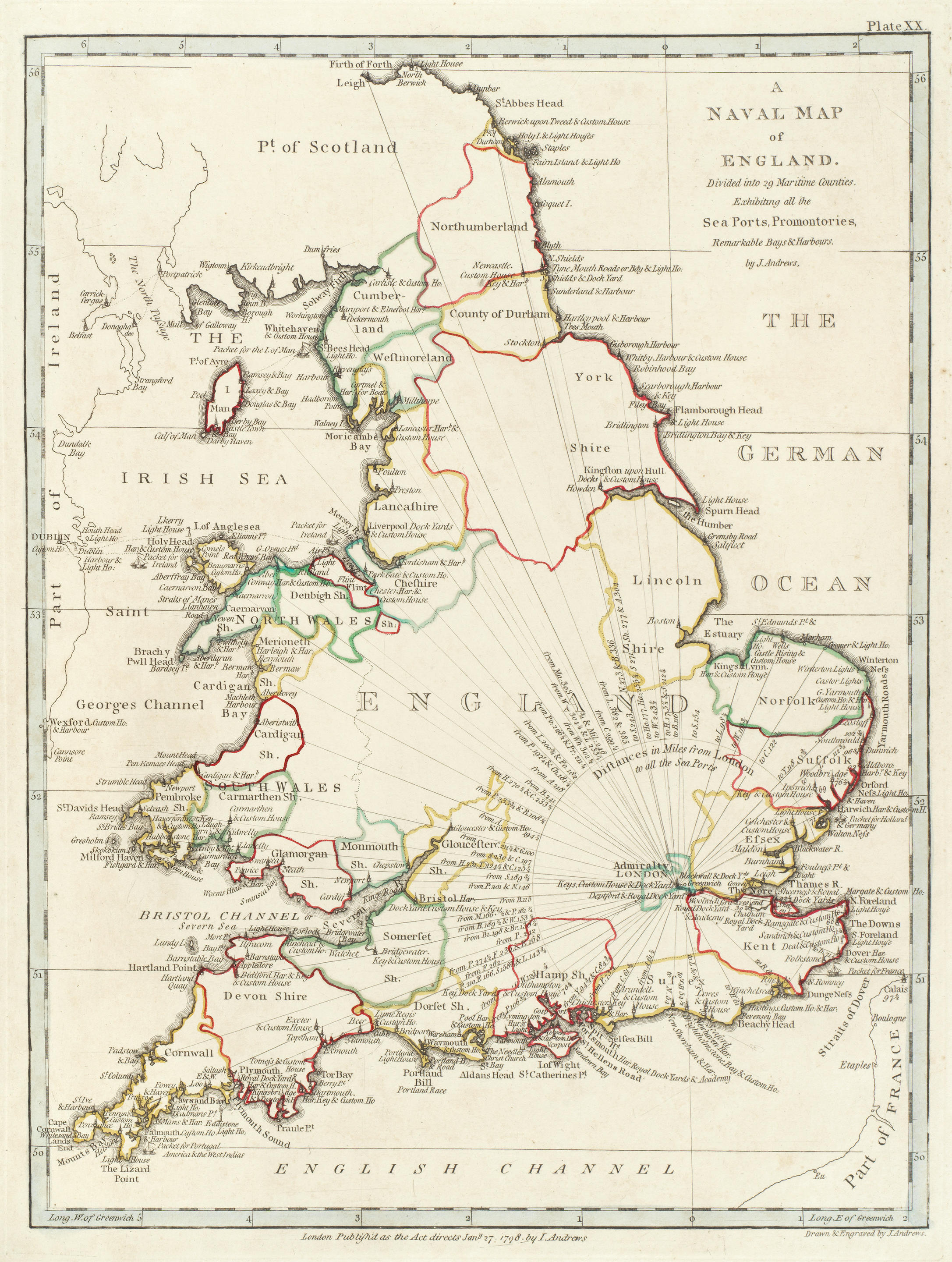
J.H ANDREWS, Atlas of Ireland. Prepared under the direction of the Irish National Committee for Geography. With ninety-seven pages of coloured maps. Dublin: Royal Irish Academy, 1979. Atlas folio (33.5 x 42cm). pp. 104. Fine copy in green buckram gilt. Together with: Ireland from Maps - facsimile documents produced by the National Library of Ireland; Charles Brooking's City of Dublin 1728 with introduction by Maurice Craig; Geographical of Ye Kingdom of Ireland by William Petty [I.U.P. Shannon reprint, 1969]; The Printed Maps of Ireland to 1612 by Andrew Bonar Law; Irish Historic Towns Atlas - Carrickfergus, Bandon, Kells, Mullingar produced by the Royal Irish Academy. Scarce. J.H ANDREWS, Atlas of Ireland. Prepared under the direction of the Irish National Committee for Geography. With ninety-seven pages of coloured maps. Dublin: Royal Irish Academy, 1979. Atlas folio (33.5 x 42cm). pp. 104. Fine copy in green buckram gilt. Together with: Ireland from Maps - facsimile documents produced by the National Library of Ireland; Charles Brooking's City of Dublin 1728 with introduction by Maurice Craig; Geographical of Ye Kingdom of Ireland by William Petty [I.U.P. Shannon reprint, 1969]; The Printed Maps of Ireland to 1612 by Andrew Bonar Law; Irish Historic Towns Atlas - Carrickfergus, Bandon, Kells, Mullingar produced by the Royal Irish Academy. Scarce.
J.H ANDREWS, Atlas of Ireland. Prepared under the direction of the Irish National Committee for Geography. With ninety-seven pages of coloured maps. Dublin: Royal Irish Academy, 1979. Atlas folio (33.5 x 42cm). pp. 104. Fine copy in green buckram gilt. Together with: Ireland from Maps - facsimile documents produced by the National Library of Ireland; Charles Brooking's City of Dublin 1728 with introduction by Maurice Craig; Geographical of Ye Kingdom of Ireland by William Petty [I.U.P. Shannon reprint, 1969]; The Printed Maps of Ireland to 1612 by Andrew Bonar Law; Irish Historic Towns Atlas - Carrickfergus, Bandon, Kells, Mullingar produced by the Royal Irish Academy. Scarce. J.H ANDREWS, Atlas of Ireland. Prepared under the direction of the Irish National Committee for Geography. With ninety-seven pages of coloured maps. Dublin: Royal Irish Academy, 1979. Atlas folio (33.5 x 42cm). pp. 104. Fine copy in green buckram gilt. Together with: Ireland from Maps - facsimile documents produced by the National Library of Ireland; Charles Brooking's City of Dublin 1728 with introduction by Maurice Craig; Geographical of Ye Kingdom of Ireland by William Petty [I.U.P. Shannon reprint, 1969]; The Printed Maps of Ireland to 1612 by Andrew Bonar Law; Irish Historic Towns Atlas - Carrickfergus, Bandon, Kells, Mullingar produced by the Royal Irish Academy. Scarce.


Testen Sie LotSearch und seine Premium-Features 7 Tage - ohne Kosten!
Lassen Sie sich automatisch über neue Objekte in kommenden Auktionen benachrichtigen.
Suchauftrag anlegen