Neuer Atlas.
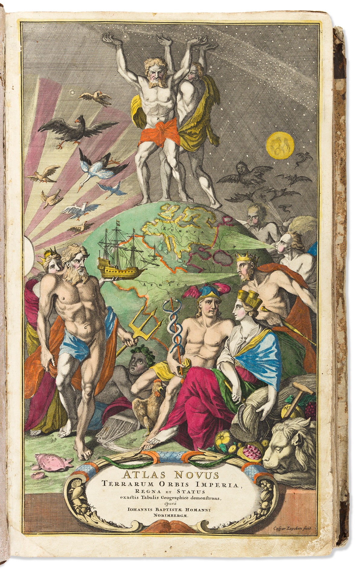
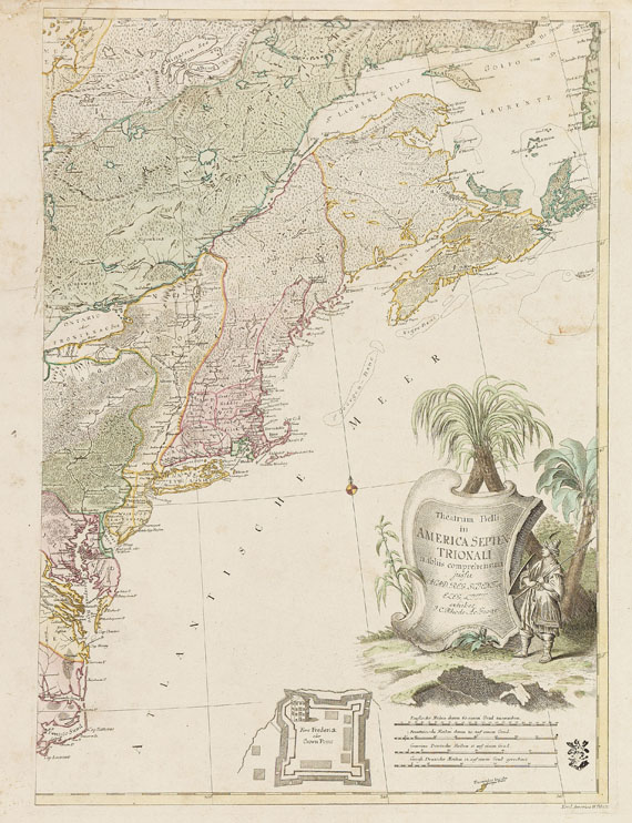
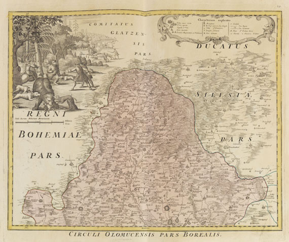
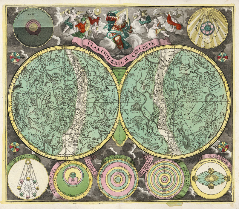
Nuremberg, 1714. Folio (21 1/4 x 13 1/2 in). Engraved allegorical title, printed title with engraved map vignette, contents page, 42pp. text, 99 double-page engraved maps, celestial charts, and plates after Danckerts, de Ram, Schenk, Doppelmayr and others, all with fine contemporary full hand-color, manuscript title to verso of each map, original mottled calf, gilt roll-tool borders, spine in ten compartments, separated by raised bands, gilt with lozenges, lower spine split. Condition : bindings slightly scuffed. A fine and large atlas from 'the most important and prolific mapmakers of the eighteenth century ' (Heinz). The Homann family, starting with Johann Baptist Homann (c.1663-1724), and his son, Johann Christoph Homann (c.1703-1730) dominated atlas production in Germany between 1702 and 1803. Following a long period of Dutch hegemony of the profession, J.B. Homann published his first atlas 'Atlas Novus Terrarum' in Nuremberg in 1707, and quickly acquired great respect and influence in Germany. The success of the first atlas 'allowed him to increase his rate of production to almost one map a month until, in 1712, the atlas programme involved one hundred sheets' (Heinz). Homann was made a member of the Berlin Academy of Sciences, and then, in 1715, he was appointed Geographer to the Emperor. In addition to maps of Germany complete with town plans, Homann produced a 'Neuer Atlas' in 1714, of which the present copy is a fine example, and a 'Grosser Atlas' in 1737. After Johann Baptist's death his son directed the firm, until 1730 when it was bequeathed to his heirs (Franz, Hase or Hasius, and Ebersperger) on condition that it continued to trade under the name of Homann Heirs. This firm had a wide influence on map publishing in Germany over the hundred years of its operation, culminating in their 'Atlas Maior' with over 200 maps. The maps of the Homanns were issued plain as well as coloured. The colouring when used was very distinctive, the cartouches with which the maps were decorated being usually left plain. Heinz, M. 'A Programme for Map Publishing: the Homann Firm in the Eighteenth Century', Imago Mundi, 49.






Testen Sie LotSearch und seine Premium-Features 7 Tage - ohne Kosten!
Lassen Sie sich automatisch über neue Objekte in kommenden Auktionen benachrichtigen.
Suchauftrag anlegen