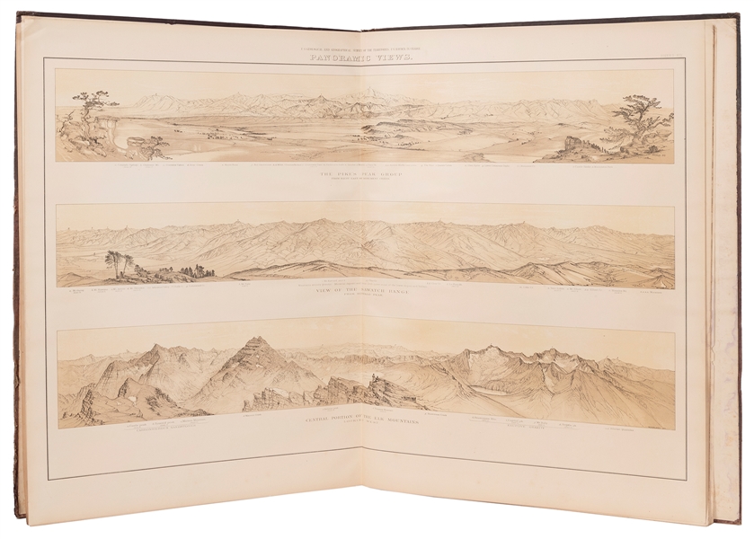
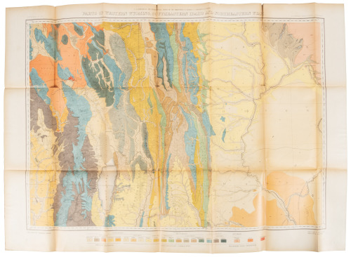
Title: Geological and Geographical Atlas of Colorado and Portions of Adjacent Territory Author: Hayden, F[erdinand] V. Place: No Place Publisher: Julius Bien Date: 1877 Description: Title page, list of sheets, + 20 folding sheets consisting of 18 maps and charts and 2 with panoramic views. Folio, 27¼x19, loose in original wrappers (as issued). Housed in a modern cloth folio. First Edition. This atlas is composed of two series of maps: the first, of four sheets, on a scale of twelve miles to one inch, each covering the whole State of Colorado; the second, of twelve sheets (six topographical and six geological, of identical areas), on a scale of four miles to one inch, each sheet embracing two and one-half degrees of Longitude and one and one-quarter degrees of Latitude, the whole presenting the results of the field work of 1873, '74, '75 and '76, covering the entire State of Colorado and adjacent portions of Utah, Arizona and New Mexico. Lot Amendments Condition: Wrappers separated, lacking small portions of backstrip; old dampstain along folds with varying degrees of staining, faintly visible on printed side of sheets; overall very good. Item number: 180116
Title: Geological and Geographical Atlas of Colorado and Portions of Adjacent Territory Author: Hayden, F[erdinand] V. Place: No Place Publisher: Julius Bien Date: 1877 Description: Title page, list of sheets, + 20 folding sheets consisting of 18 maps and charts and 2 with panoramic views. Folio, 27¼x19, loose in original wrappers (as issued). Housed in a modern cloth folio. First Edition. This atlas is composed of two series of maps: the first, of four sheets, on a scale of twelve miles to one inch, each covering the whole State of Colorado; the second, of twelve sheets (six topographical and six geological, of identical areas), on a scale of four miles to one inch, each sheet embracing two and one-half degrees of Longitude and one and one-quarter degrees of Latitude, the whole presenting the results of the field work of 1873, '74, '75 and '76, covering the entire State of Colorado and adjacent portions of Utah, Arizona and New Mexico. Lot Amendments Condition: Wrappers separated, lacking small portions of backstrip; old dampstain along folds with varying degrees of staining, faintly visible on printed side of sheets; overall very good. Item number: 180116


Testen Sie LotSearch und seine Premium-Features 7 Tage - ohne Kosten!
Lassen Sie sich automatisch über neue Objekte in kommenden Auktionen benachrichtigen.
Suchauftrag anlegen