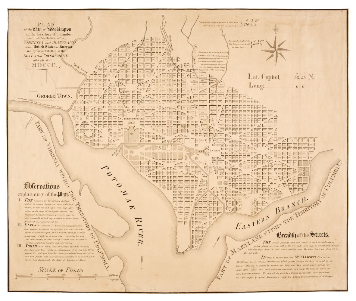
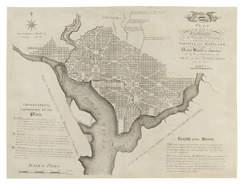
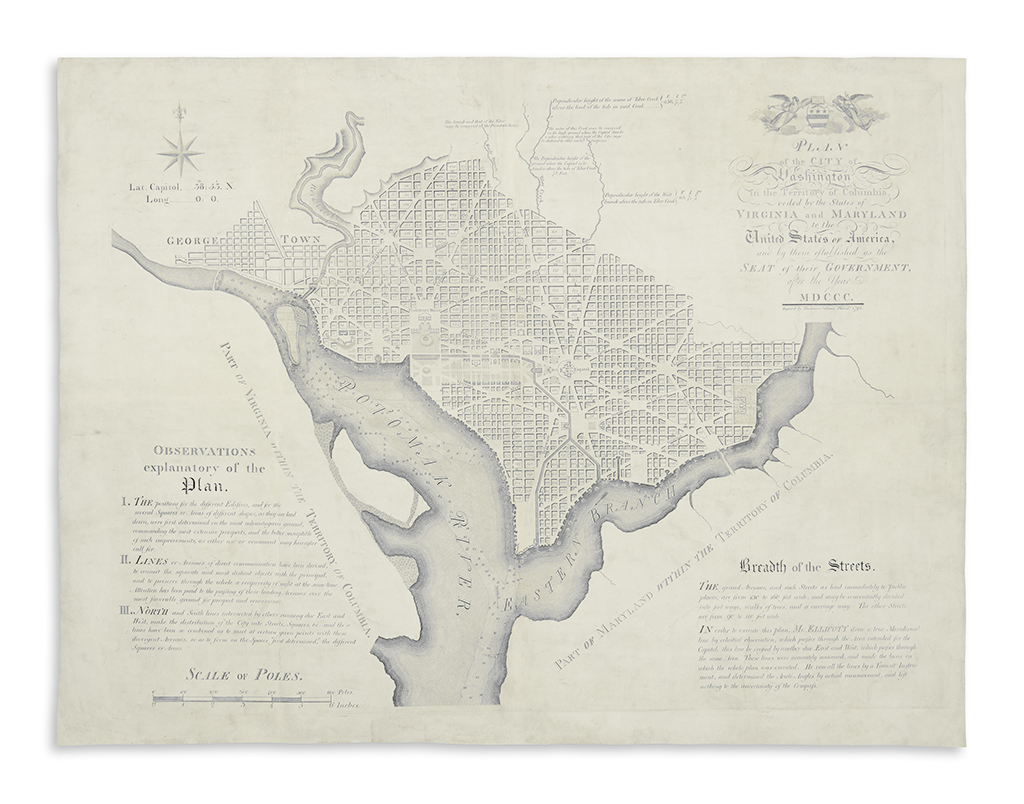
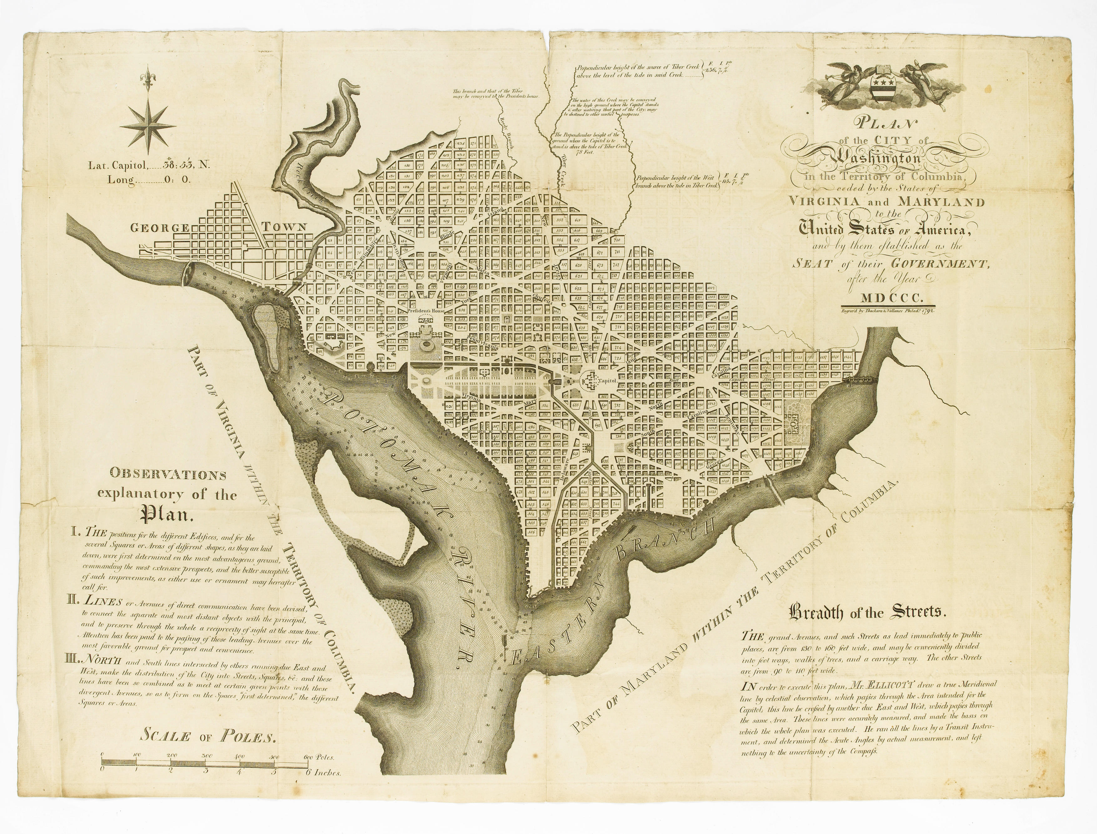
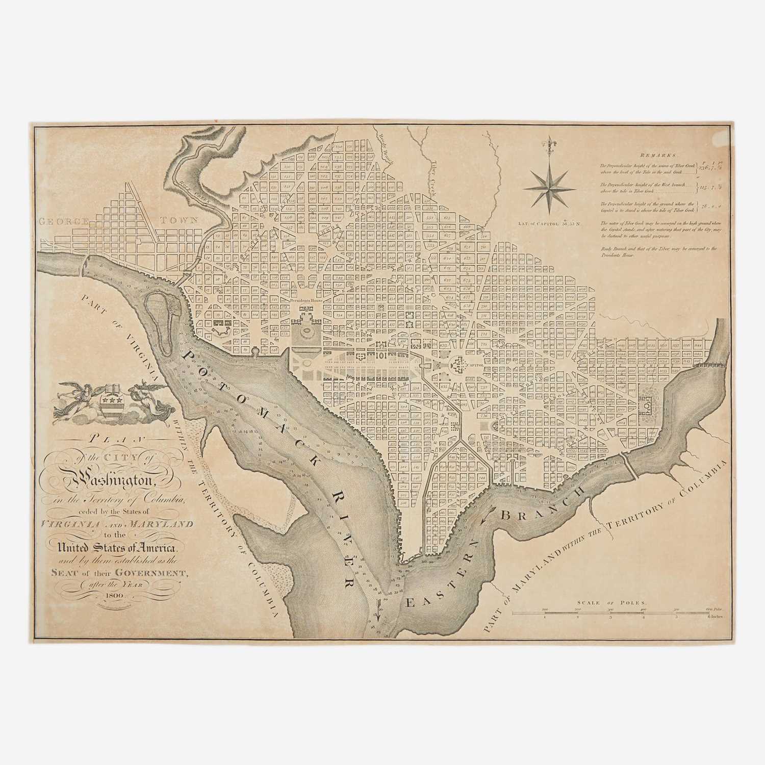
ELLICOTT, Andrew (1754-1830). Plan of the City of Washington in the Territory of Colulmbia, ceded by the States of Virginia and Maryland to the United States of America, and by them established as the Seat of their Government after the year MDCCC . Philadelphia: 1792. Engraved plan of Washington by Thackera and Vallance, 530 x 750mm. Decorative title with the arms of the Union above, explanatory text at lower corners, compass rose. (Some very light browning to upper margins.) THE OFFICIAL PLAN OF THE CITY OF WASHINGTON, after Andrew Ellicott's survey based upon the plan devised by Peter Charles L'Enfant. In July 1790, Congress passed an act authorising the establishment of the national capital on the Potomac River, George Washington's preferred choice. The exact site was determined by three commissioners in 1791, and L'Enfant was selected by President Washington to devise a plan. L'Enfant was dismissed early in 1792 after conflicts with the city commissioners and Andrew Ellicott was instructed to finish the plan and layout the nation's capital. Once finished Ellicott sent it to Thackera and Vallance for engraving and it this map, published in 1792, of which the present is an example, that was intended for the use of the commissioners for the sale of land parcels in the new city. The Ellicott plan is more detailed than the only earlier map of the city, published in the previous month in Boston by Samuel Hill 'No more attractive example of urban cartography can be found'. Reps Washington on View 10; Schwartz and Ehrenberg, The mapping of America p. 132.
ELLICOTT, Andrew (1754-1830). Plan of the City of Washington in the Territory of Colulmbia, ceded by the States of Virginia and Maryland to the United States of America, and by them established as the Seat of their Government after the year MDCCC . Philadelphia: 1792. Engraved plan of Washington by Thackera and Vallance, 530 x 750mm. Decorative title with the arms of the Union above, explanatory text at lower corners, compass rose. (Some very light browning to upper margins.) THE OFFICIAL PLAN OF THE CITY OF WASHINGTON, after Andrew Ellicott's survey based upon the plan devised by Peter Charles L'Enfant. In July 1790, Congress passed an act authorising the establishment of the national capital on the Potomac River, George Washington's preferred choice. The exact site was determined by three commissioners in 1791, and L'Enfant was selected by President Washington to devise a plan. L'Enfant was dismissed early in 1792 after conflicts with the city commissioners and Andrew Ellicott was instructed to finish the plan and layout the nation's capital. Once finished Ellicott sent it to Thackera and Vallance for engraving and it this map, published in 1792, of which the present is an example, that was intended for the use of the commissioners for the sale of land parcels in the new city. The Ellicott plan is more detailed than the only earlier map of the city, published in the previous month in Boston by Samuel Hill 'No more attractive example of urban cartography can be found'. Reps Washington on View 10; Schwartz and Ehrenberg, The mapping of America p. 132.



.jpg)




Testen Sie LotSearch und seine Premium-Features 7 Tage - ohne Kosten!
Lassen Sie sich automatisch über neue Objekte in kommenden Auktionen benachrichtigen.
Suchauftrag anlegen