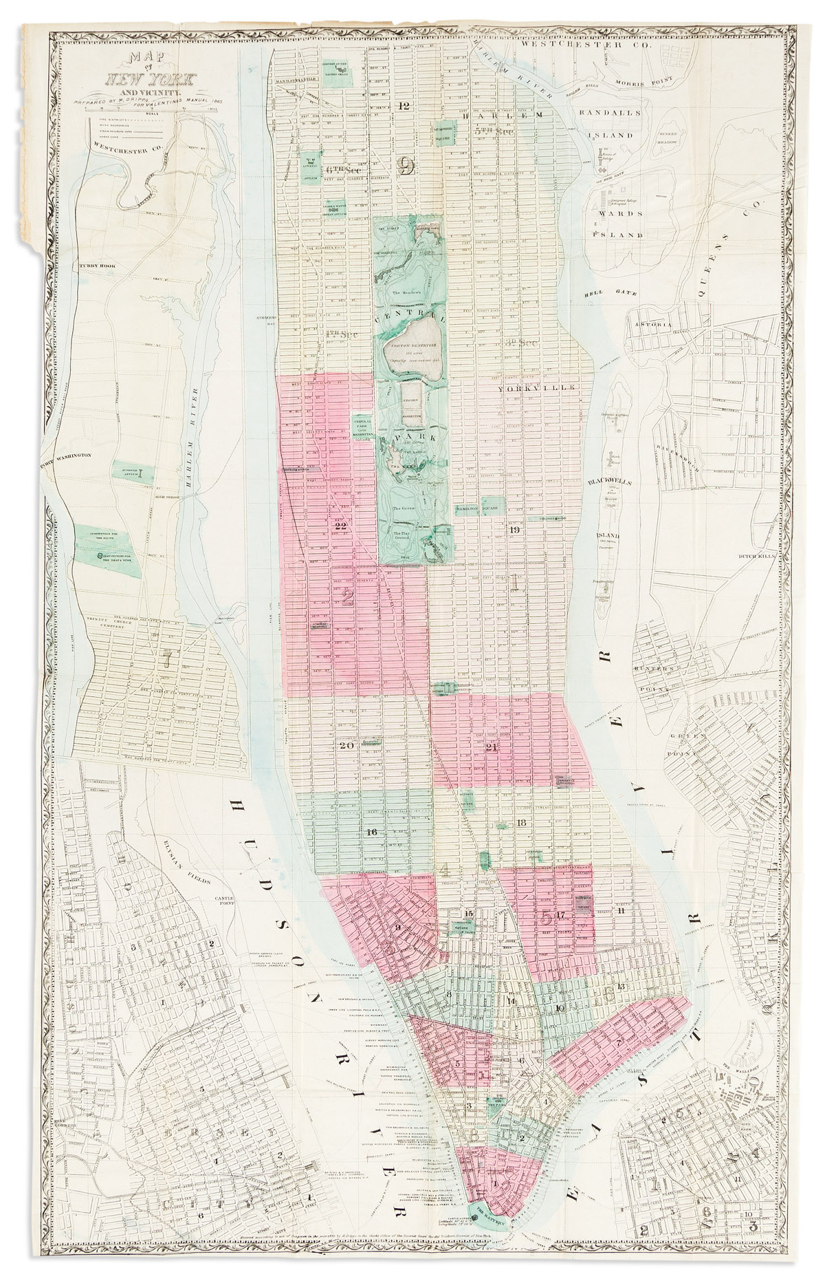
Map of New York City South of 46th St. Showing New Arrangement of Docks, piers, and water frontage, Elevated and horse drawn railroad . . . Street Directory and Numbers.
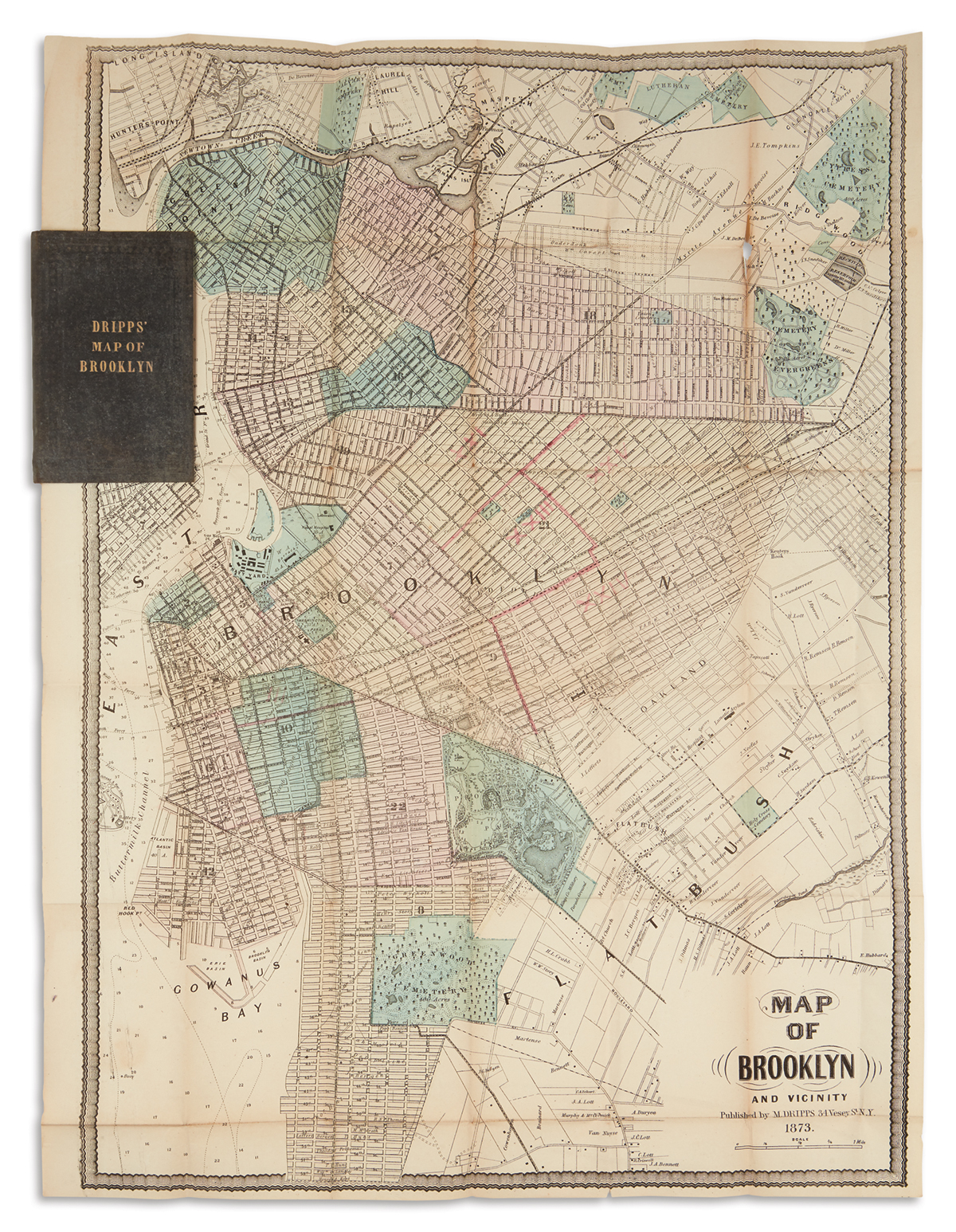
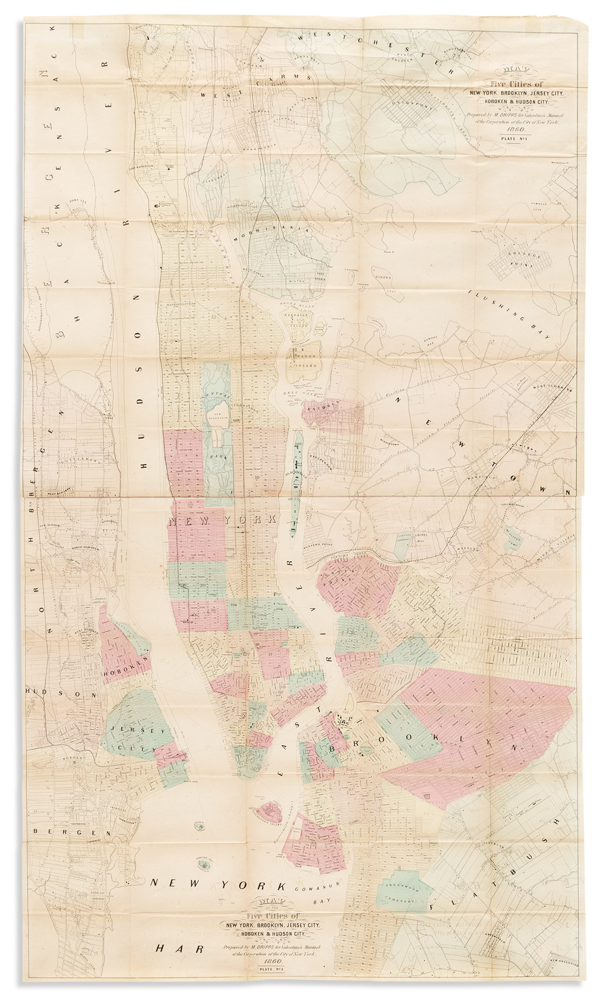
New York: M. Dripps, 1876. Lithographed folding pocket map, hand-colored in outline (40x27 inches, 1015x685 mm). With an inset of Thomas Kitchen's Map of New York originally published in a 1778 issue of the London Magazine. Laid in (detached from?) publisher's 16mo blind-stamped cloth case, with a one-page ad listing maps for sale by Dripps mounted onto the front pastedown. Condition: Clean separations along folds, small hole below the cartouche replaced in manuscript facsimile; covers a bit worn, the ad detached. a fine, detailed pocket map of the city. The inset of an 18th century map is an odd addition to a map that focuses on the growth of the city. The detail on the map is impressive, with numerous businesses, hotels, banks, theatres, etc. identified, as well as the route of the elevated railway along Greenwich Street -- the first elevated railroad in Manhattan.


Testen Sie LotSearch und seine Premium-Features 7 Tage - ohne Kosten!
Lassen Sie sich automatisch über neue Objekte in kommenden Auktionen benachrichtigen.
Suchauftrag anlegen