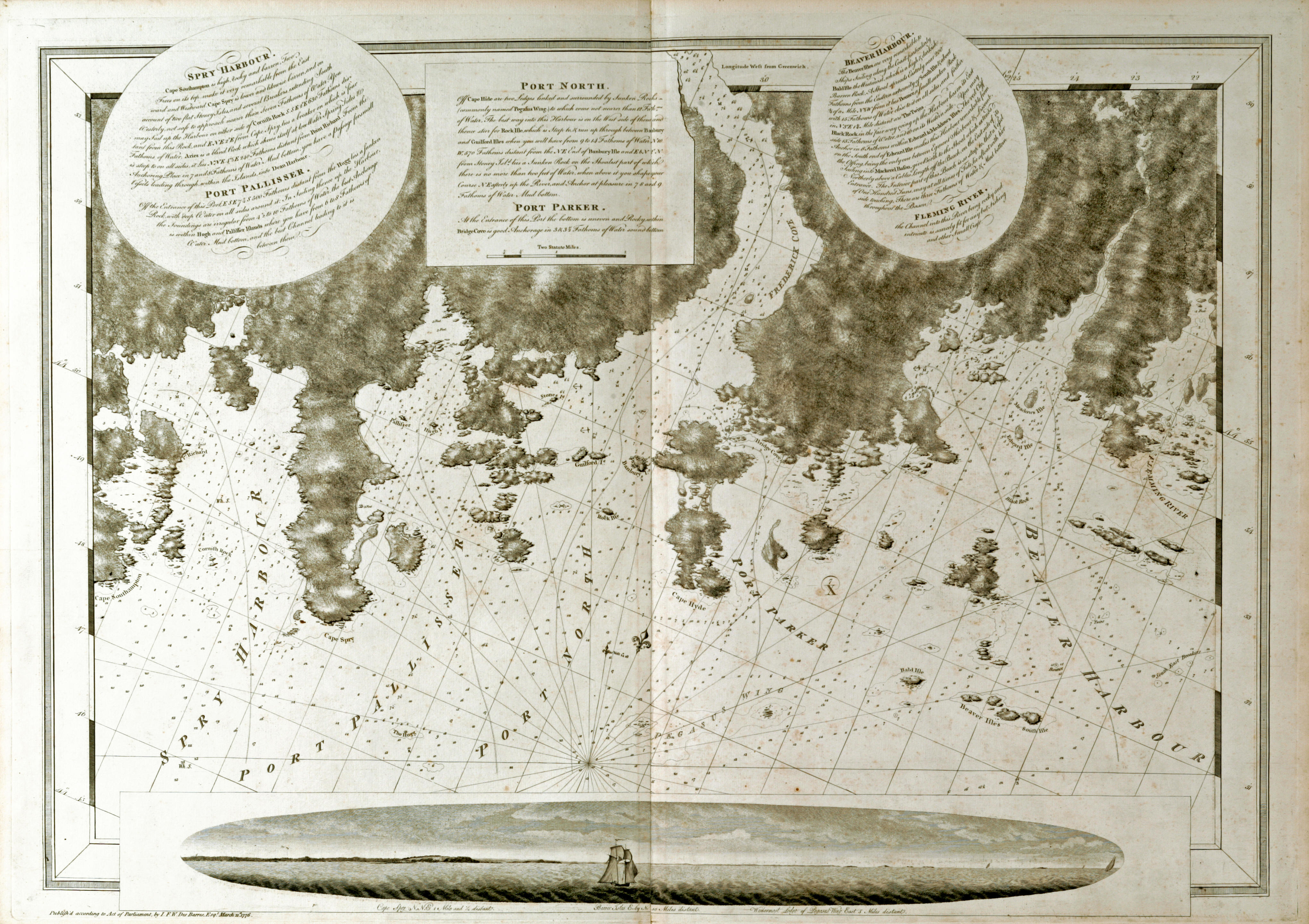
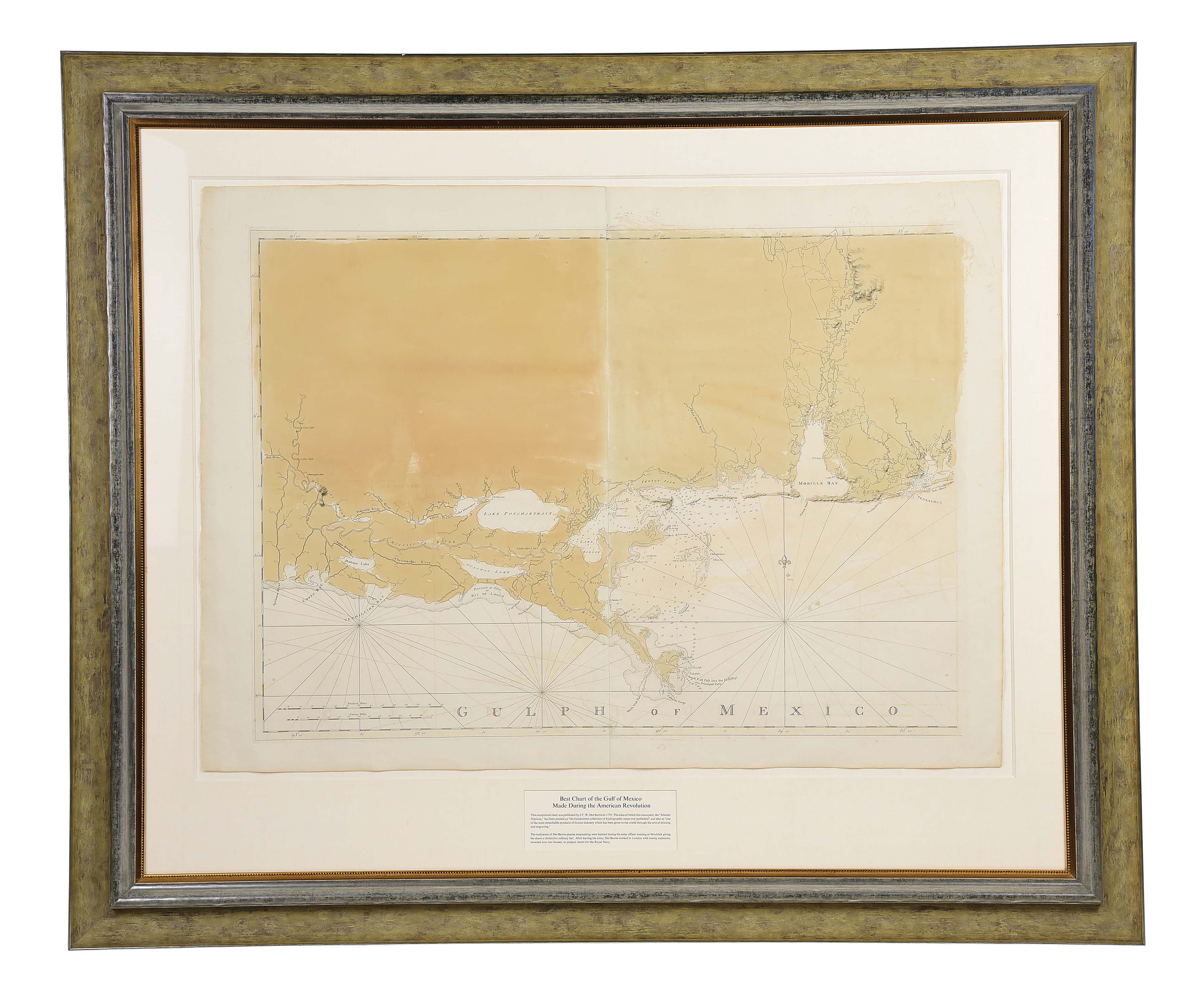
A Chart of Delawar [sic] Bay with Soundings and Nautical Observations.
London: 1779. Double-page engraved map (770 x 560 mm). Printed on LVG watermarked paper. Condition : loss to the upper left corner, trimmed close, light browning along the fold. Provenance : Martin P. Snyder. [With:] A Chart of Delawar River from Bombay Hook to Ridley Creek / A Plan of Delawar River from Chester to Philadelphia. London: 1779. Double-page engraved map (770 x 560 mm). Printed on LVG watermarked paper. Condition : trimmed close, light browning along the fold. Provenance : Martin P. Snyder. the des barres maps of delaware bay and the length of the river to philadelphia. According to its title, the first map was based on soundings taken by Captain Sir Andrew Snape Hammond and others (i.e. Joshua Fisher); the second on surveys by Lt. Knight and Lt. John Hunter all of the British Navy. Both of these maps appeared in the second volume of the Atlantic Neptune, arguably the most important marine atlas published in the 18th century. Phillips, p. 260; Snyder, COI 268 and 85. [With:] Two engraved title pages from the Atlantic Neptune.


.jpg)
.jpg)


.jpg)
Testen Sie LotSearch und seine Premium-Features 7 Tage - ohne Kosten!
Lassen Sie sich automatisch über neue Objekte in kommenden Auktionen benachrichtigen.
Suchauftrag anlegen