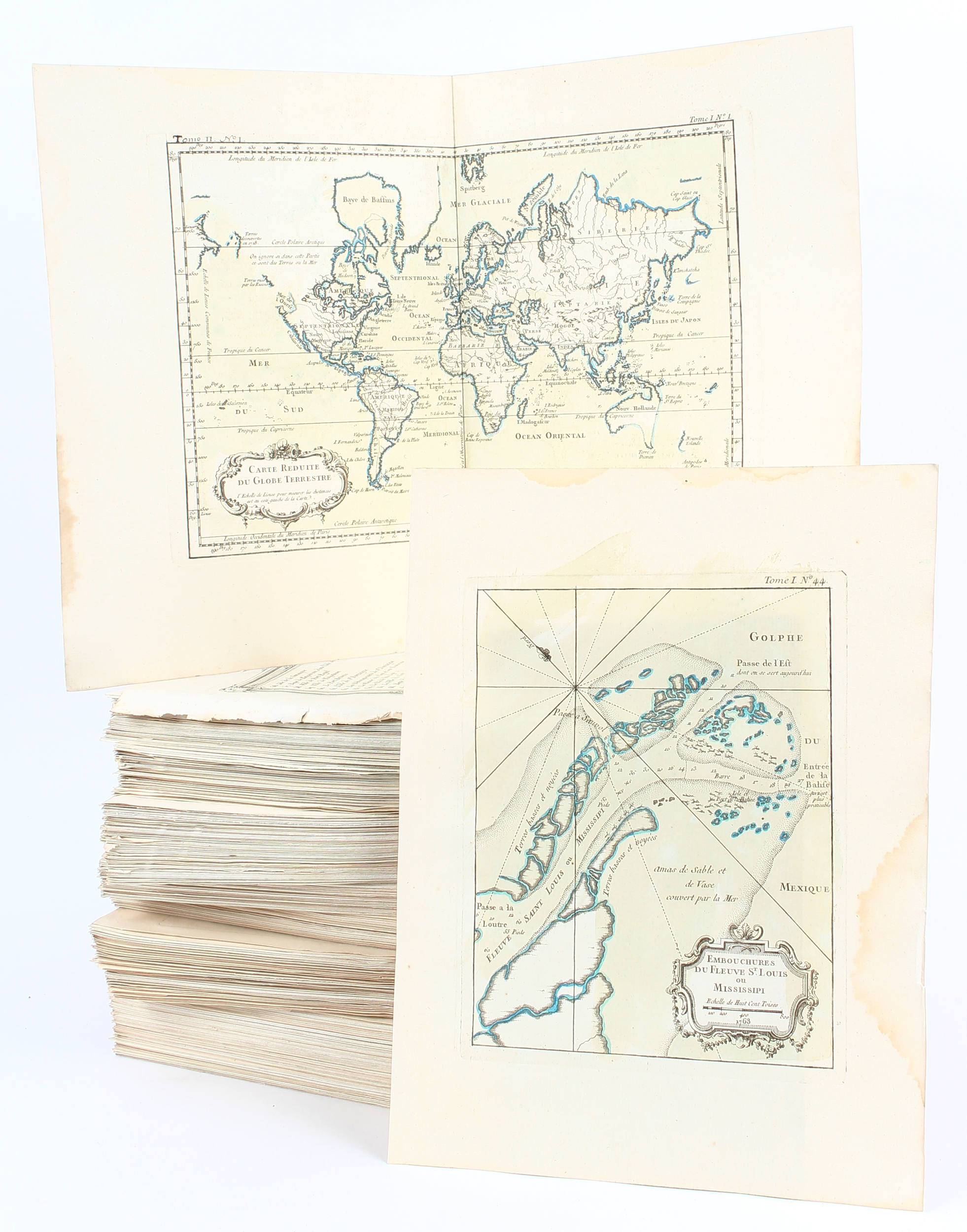
Carte de la Louisiane cours du Mississipi et Pais Voisins. Paris, 1744. Carte dans ses plis d'origine. Fente en bas à droite sur 3,5 cm, 2 grandes déchirures en haut à droite restaurées. Coupée à droite le long du filet d'encadrement. Quelques taches brunes. Le nom du graveur Dheulland est coupé. - Printed on heavy paper. Right hand margin cut till neat line, one split in lower part right, 2 large tears in upper part right reinforced. Some brown staining. Signature of Dheulland cut off. 393 x 555 mm. La carte figure le cours du bas-Mississippi avec les régions avoisinantes et de nombreux villages indiens. - Accurate map showing the lower Mississippi River and surrounding areas, the ranges and villages of numerous Indian tribes are shown. Joint: BELLIN. Carte des Embouchures du Mississipi, 1744. Dheulland Sculp. 200 x 285 mm. Jaques Nicolas Bellin (1703-1772) was one of the most important and proficient French cartographers of the mid-eighteenth century. He was appointed the first Ingenieur Hydrographe de la Marine, and also Official Hydrographer to the French King. Bellin produced a substantial number of important separately issued maps, particularly reflecting continuing discoveries and political events in the Americas. His maps and charts were finely engraved and produced, and set a high standard of accuracy. Engraved by Dheulland.
Carte de la Louisiane cours du Mississipi et Pais Voisins. Paris, 1744. Carte dans ses plis d'origine. Fente en bas à droite sur 3,5 cm, 2 grandes déchirures en haut à droite restaurées. Coupée à droite le long du filet d'encadrement. Quelques taches brunes. Le nom du graveur Dheulland est coupé. - Printed on heavy paper. Right hand margin cut till neat line, one split in lower part right, 2 large tears in upper part right reinforced. Some brown staining. Signature of Dheulland cut off. 393 x 555 mm. La carte figure le cours du bas-Mississippi avec les régions avoisinantes et de nombreux villages indiens. - Accurate map showing the lower Mississippi River and surrounding areas, the ranges and villages of numerous Indian tribes are shown. Joint: BELLIN. Carte des Embouchures du Mississipi, 1744. Dheulland Sculp. 200 x 285 mm. Jaques Nicolas Bellin (1703-1772) was one of the most important and proficient French cartographers of the mid-eighteenth century. He was appointed the first Ingenieur Hydrographe de la Marine, and also Official Hydrographer to the French King. Bellin produced a substantial number of important separately issued maps, particularly reflecting continuing discoveries and political events in the Americas. His maps and charts were finely engraved and produced, and set a high standard of accuracy. Engraved by Dheulland.

.jpg)


.jpg)


.jpg)


.jpg)


Testen Sie LotSearch und seine Premium-Features 7 Tage - ohne Kosten!
Lassen Sie sich automatisch über neue Objekte in kommenden Auktionen benachrichtigen.
Suchauftrag anlegen