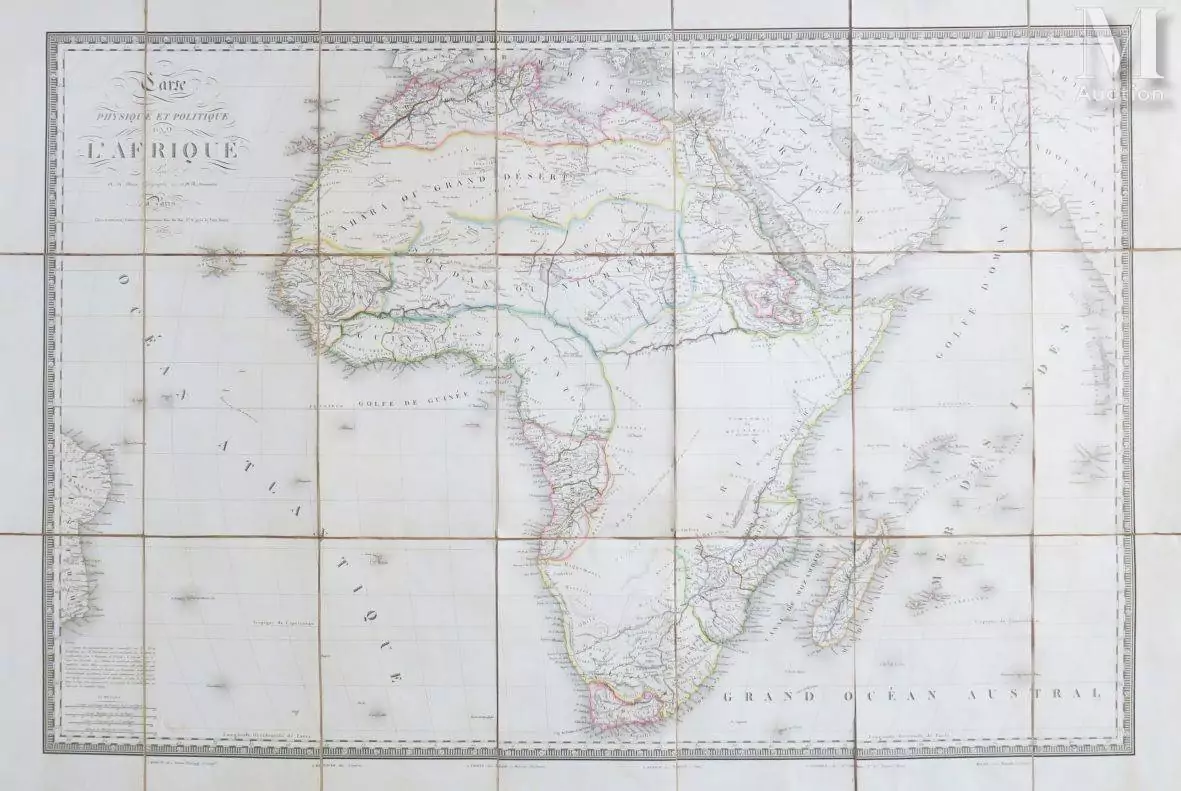
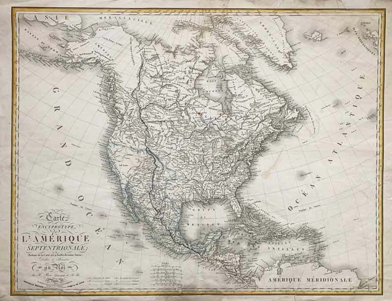
BRUE, Adrien Hubert (1786 - 1832). Carte Physique et Politique de L'Amérique Septentrionale and Carte Physique et Politique de L'Amérique Meridionale . Paris: J. Goujon et J. Andriveau, 1829. Two engraved maps of North and South America, 600 x 890mm and 890 x 600mm, hand-coloured in outline, folding, dissected and mounted on cloth. (Some slight offsetting). Original paper-covered slipcase and box, with mapseller's label of Charles Picquet, 'Géographe ordinaire de Roi et de S.A.R. Monseig. r le Duc d'Orléans'. An interesting pair of companion wall maps, originally issued in 1821 and brought up to date by Brué 'd'apres le nouvel Atlas Americain'. An explanatory note points to the names of countries lettered in colours as new independent states, whilst the colours indicating areas previously under European control remain. Brué was the Geógraphe du Roi and Géographe de son Altesse Royale Monsieur Comte d'Artois. Another note indicates areas of map copied after Humboldt. (2)
BRUE, Adrien Hubert (1786 - 1832). Carte Physique et Politique de L'Amérique Septentrionale and Carte Physique et Politique de L'Amérique Meridionale . Paris: J. Goujon et J. Andriveau, 1829. Two engraved maps of North and South America, 600 x 890mm and 890 x 600mm, hand-coloured in outline, folding, dissected and mounted on cloth. (Some slight offsetting). Original paper-covered slipcase and box, with mapseller's label of Charles Picquet, 'Géographe ordinaire de Roi et de S.A.R. Monseig. r le Duc d'Orléans'. An interesting pair of companion wall maps, originally issued in 1821 and brought up to date by Brué 'd'apres le nouvel Atlas Americain'. An explanatory note points to the names of countries lettered in colours as new independent states, whilst the colours indicating areas previously under European control remain. Brué was the Geógraphe du Roi and Géographe de son Altesse Royale Monsieur Comte d'Artois. Another note indicates areas of map copied after Humboldt. (2)


Testen Sie LotSearch und seine Premium-Features 7 Tage - ohne Kosten!
Lassen Sie sich automatisch über neue Objekte in kommenden Auktionen benachrichtigen.
Suchauftrag anlegen