BRITISH ISLES - LILY, GEORGE ( fl. 1528-1559).
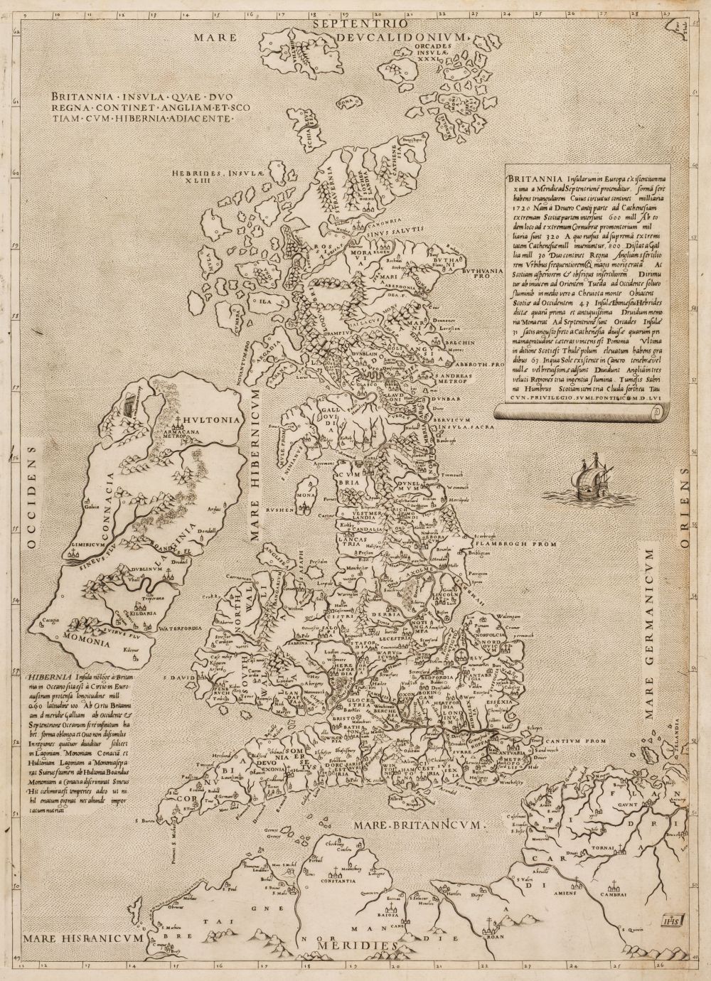
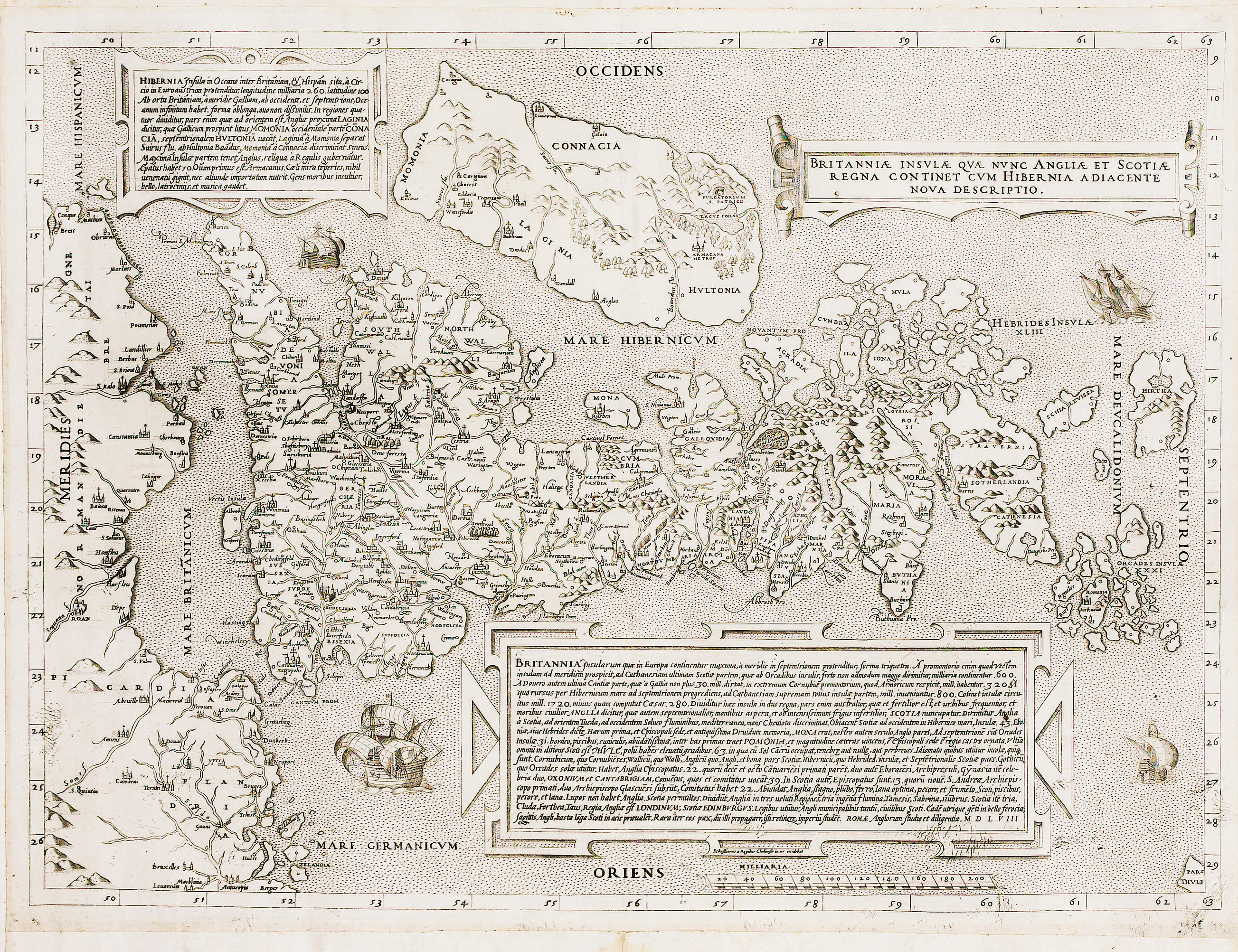
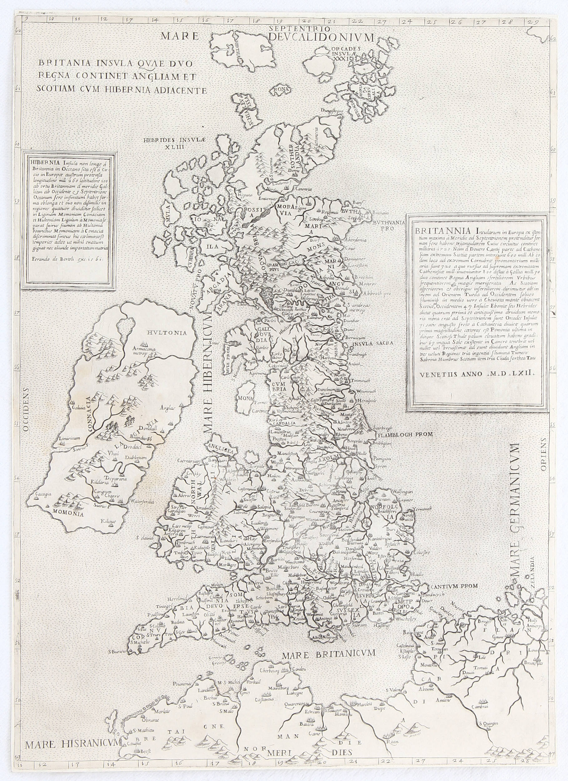
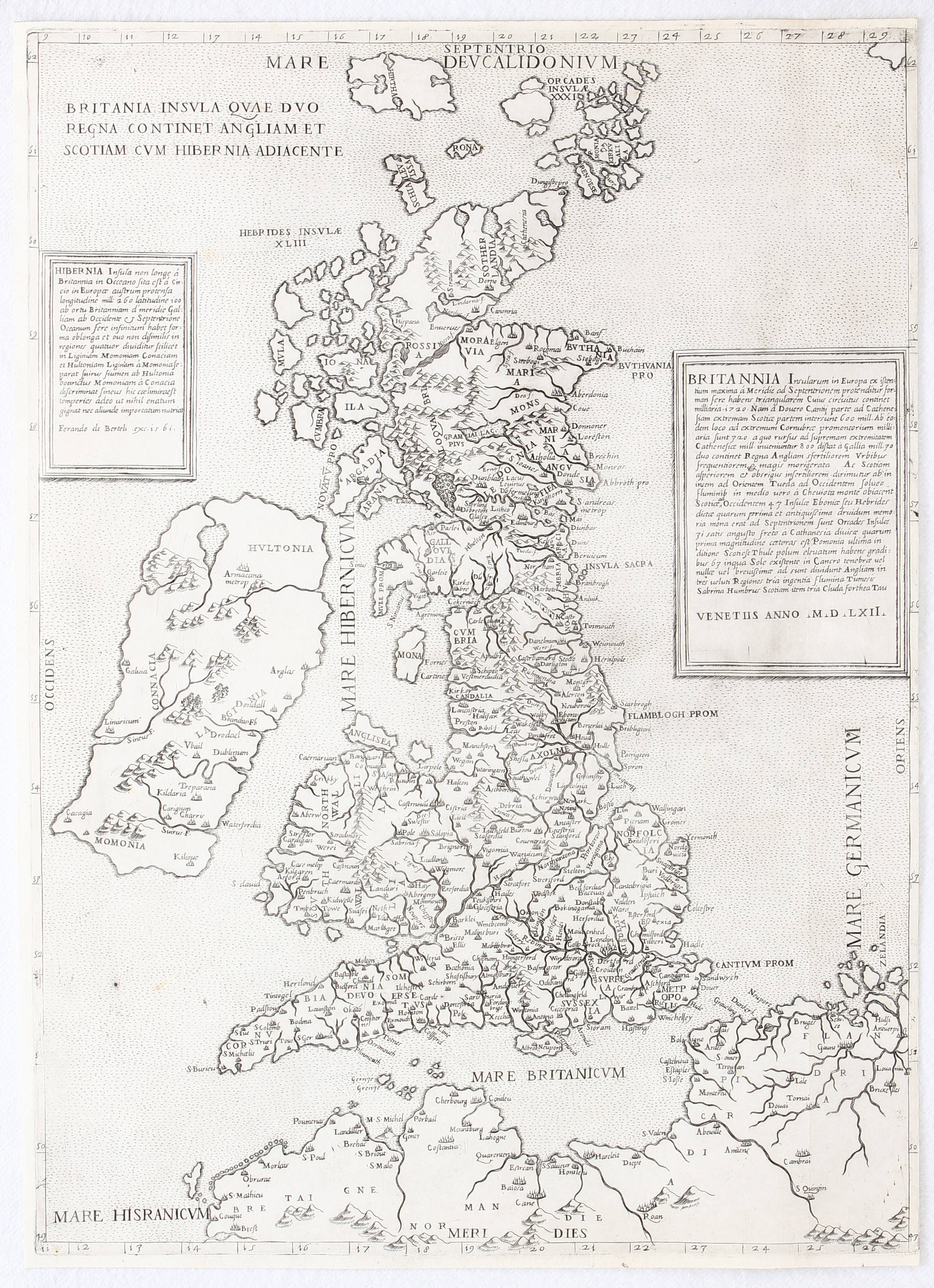
BRITISH ISLES - LILY, GEORGE ( fl. 1528-1559). Britannnia Insvla qvae dvo regna continent Angliam et Scotiam evm Hibernia adiacente. Rome: 1556. Engraved map of the British Isles, 491 x 354mm, trimmed with original extended margins. (Some discolouration to the centre and centre-right, and a small hole near centre of the map, crease running horizontally through centre.) A FINE EXAMPLE OF THE SECOND ROME PRINTING OF GEORGE LILY'S IMPORTANT MAP OF THE BRITISH ISLES. Twelve years earlier, Lily, an English Catholic exile working in Rome, published the first ever printed map to separately depict the entire British Isles (see lot 33). This map copies the original, but reorients the map from bearing east-west to a north-south alignment. The depiction of the Great Britain is geographically quite advanced, while Ireland is represented with notably less definition. The identity of the publisher and engraver of this edition is not known, but the appearance of the creator's mark, the Christogram I.H.S., in the lower-left corner, is the only clue to this mystery. Shirley:1991 no.60, Tooley:1939 no.269, watermark of two crossed arrows surmounted by a six-pointed star.


.jpg)


Testen Sie LotSearch und seine Premium-Features 7 Tage - ohne Kosten!
Lassen Sie sich automatisch über neue Objekte in kommenden Auktionen benachrichtigen.
Suchauftrag anlegen