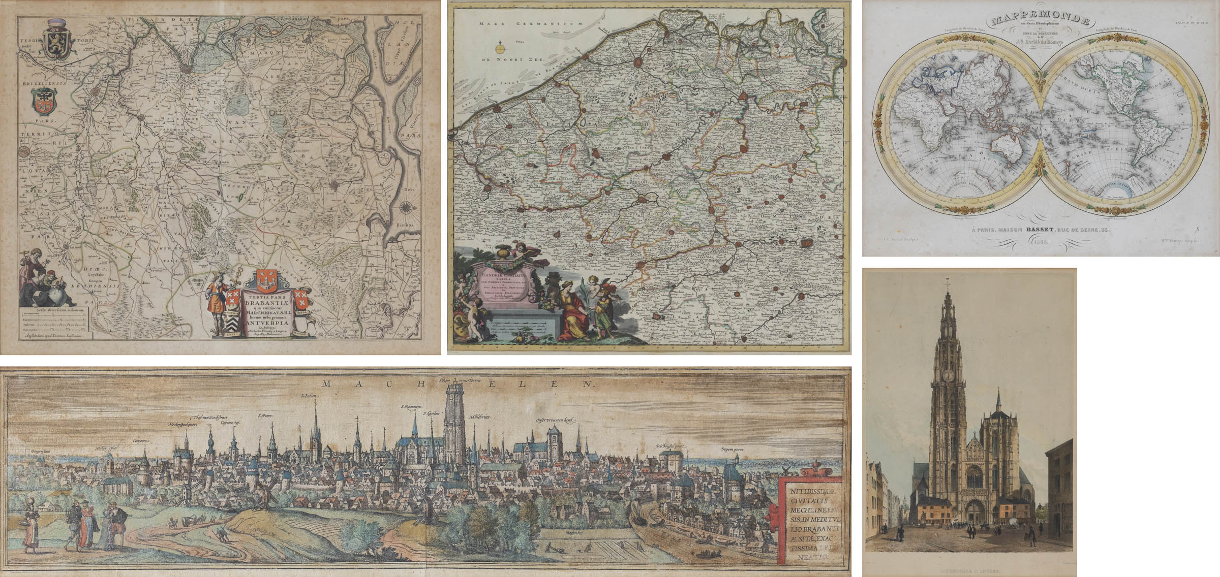
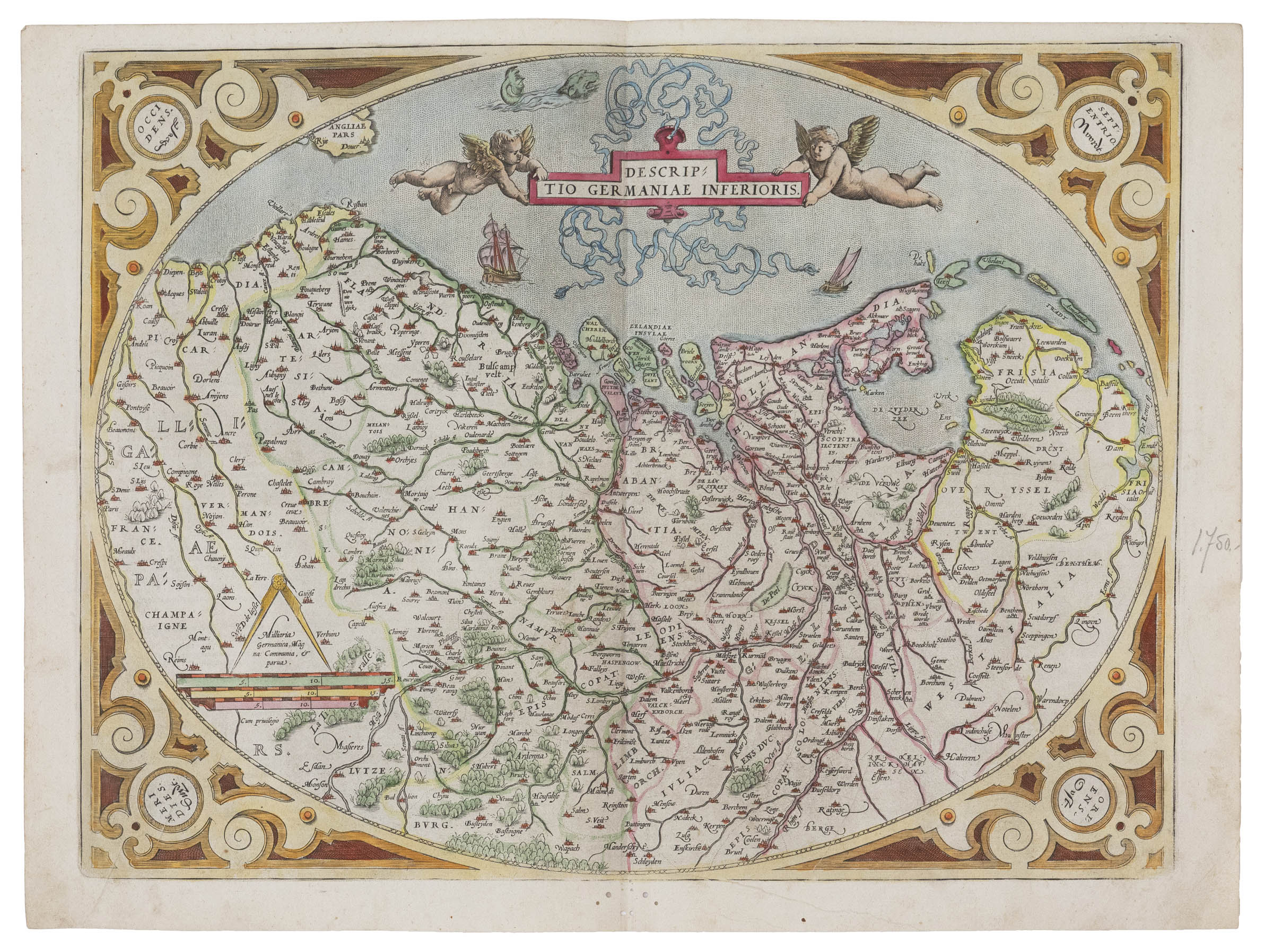
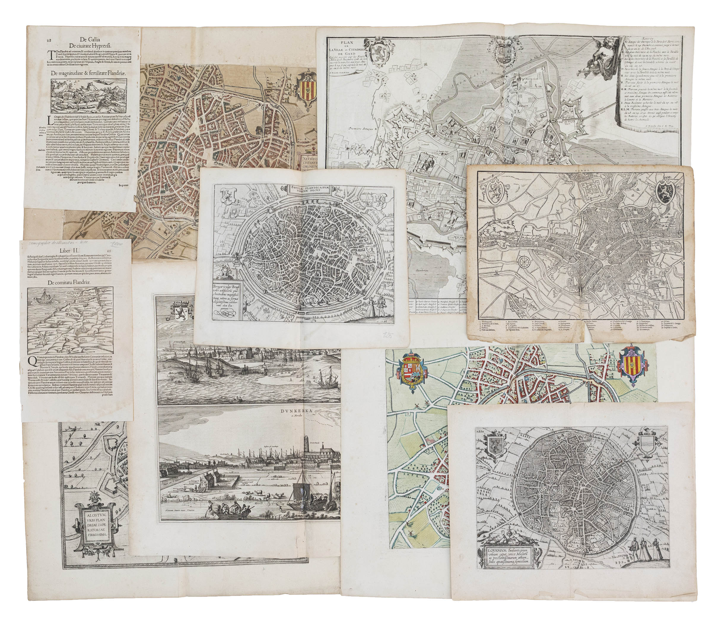
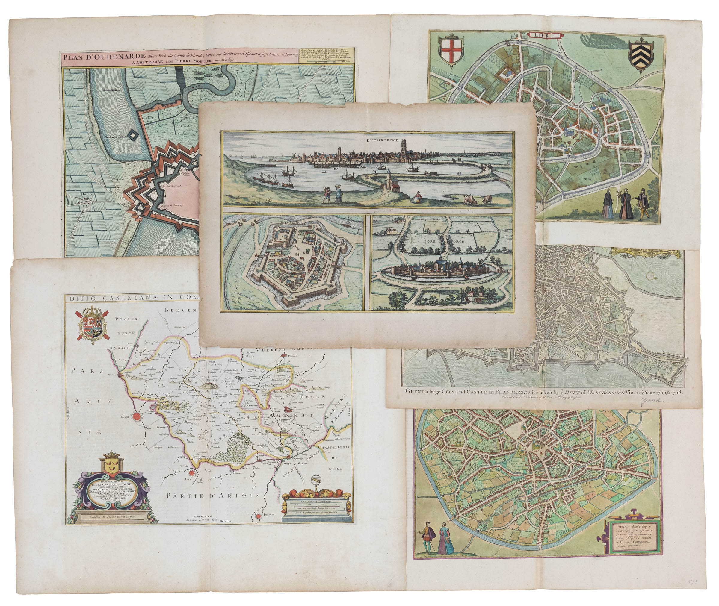
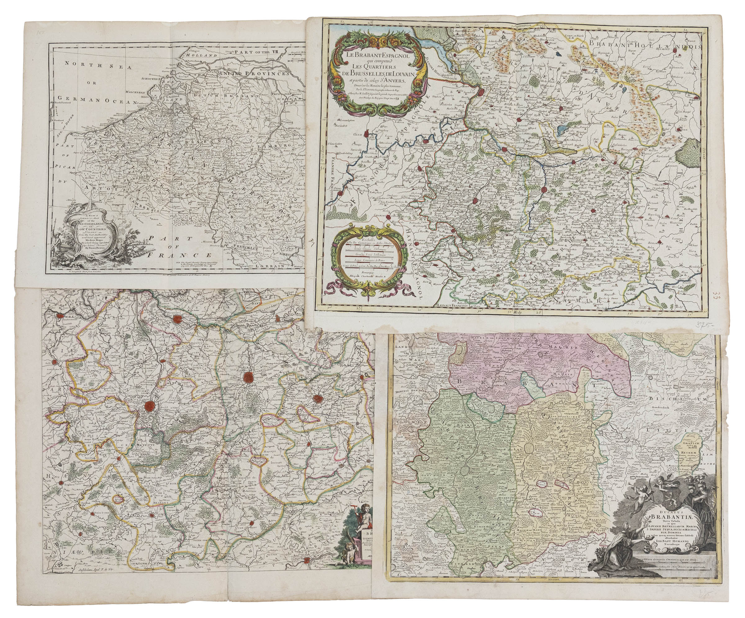
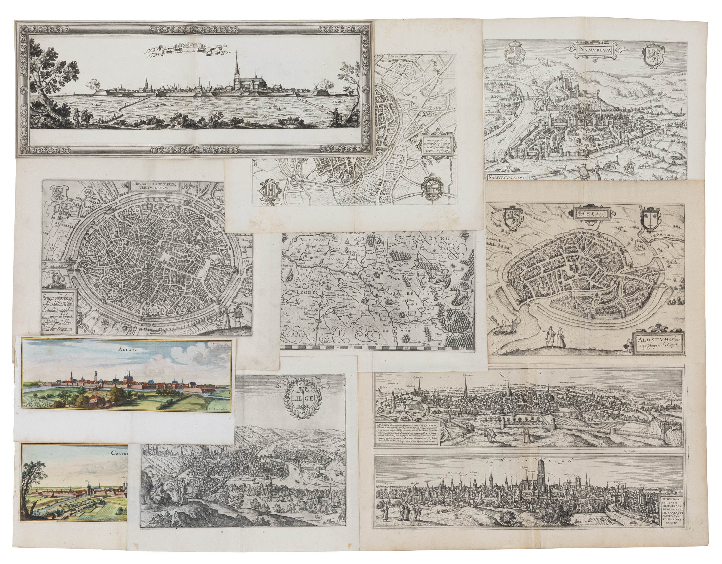
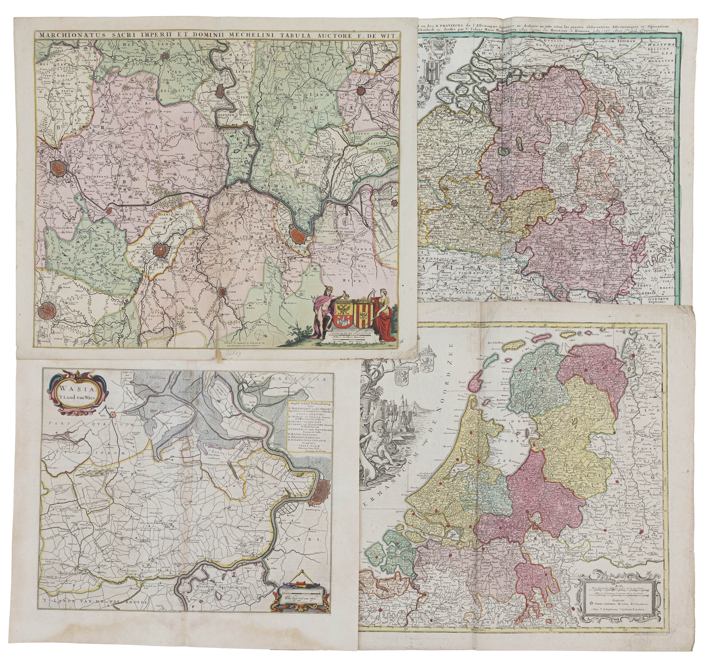
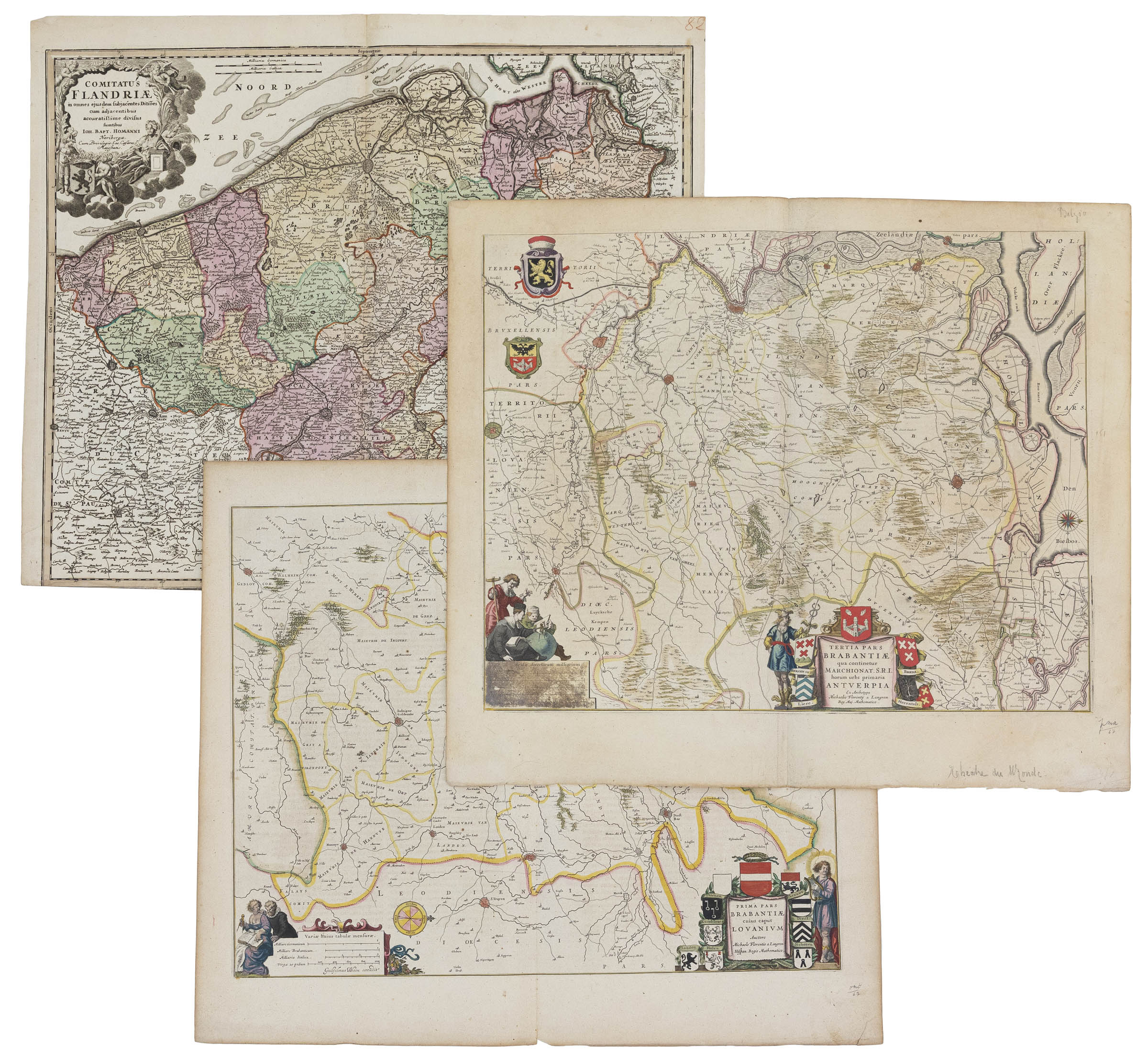
(Brabant-Flanders) A varied lot of topography: -a late-17th century engraved map of the surroundings of Brussels, Louvain and Antwerp, titled 'Le Brabant Espagnol qui comprend les Quartiers de Brusselles De Louvain', published by Hubert Jaillot, ca. 1674. 445 x 580 mm -an early-17th century engraved map of the surroundings of Mechelen, with inserted city view, big coat of arms and citizens by the title cartouche, titled 'Mechlinia', by Pieter Vanden Keere, published by Nicolas Visscher in 'Germania Inferior id est, XVII provinciarum ejus novae et exactae Tabulae Geographicae', dated 1617. moisture stains. 380 x 490 mm -a late-17th century engraved and border-coloured map of the County of Flanders, titled 'Flandriae Comitatus accuratissima descriptio', published by Nicolas Visscher 1684. Tear with some loss at the top, restored. 475 x 570 mm -an early-18th century border-coloured map of the region Waasland, titled 'Wasia 't Land van Waes', published in Sanderus, 1735. 375 x 455 mm Tot.: 4
(Brabant-Flanders) A varied lot of topography: -a late-17th century engraved map of the surroundings of Brussels, Louvain and Antwerp, titled 'Le Brabant Espagnol qui comprend les Quartiers de Brusselles De Louvain', published by Hubert Jaillot, ca. 1674. 445 x 580 mm -an early-17th century engraved map of the surroundings of Mechelen, with inserted city view, big coat of arms and citizens by the title cartouche, titled 'Mechlinia', by Pieter Vanden Keere, published by Nicolas Visscher in 'Germania Inferior id est, XVII provinciarum ejus novae et exactae Tabulae Geographicae', dated 1617. moisture stains. 380 x 490 mm -a late-17th century engraved and border-coloured map of the County of Flanders, titled 'Flandriae Comitatus accuratissima descriptio', published by Nicolas Visscher 1684. Tear with some loss at the top, restored. 475 x 570 mm -an early-18th century border-coloured map of the region Waasland, titled 'Wasia 't Land van Waes', published in Sanderus, 1735. 375 x 455 mm Tot.: 4
Testen Sie LotSearch und seine Premium-Features 7 Tage - ohne Kosten!
Lassen Sie sich automatisch über neue Objekte in kommenden Auktionen benachrichtigen.
Suchauftrag anlegen