Isolario…Nel qual si ragiona di tutte l'Isole del mondo… Con la gionta del Monte del Oro nouamente ritrouato.
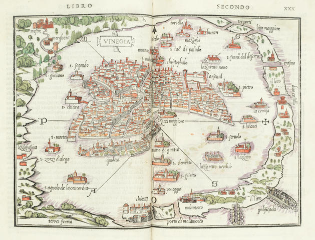
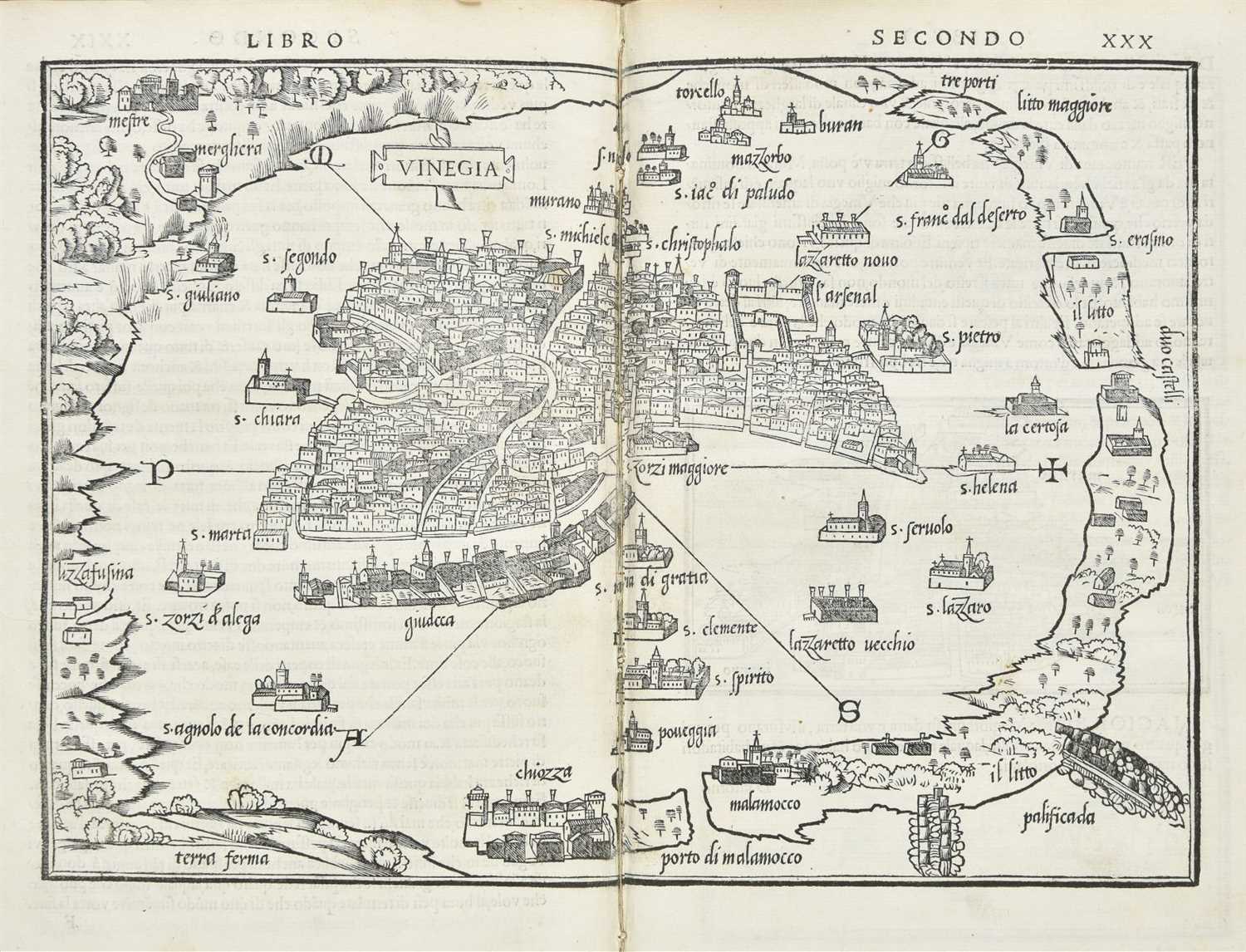
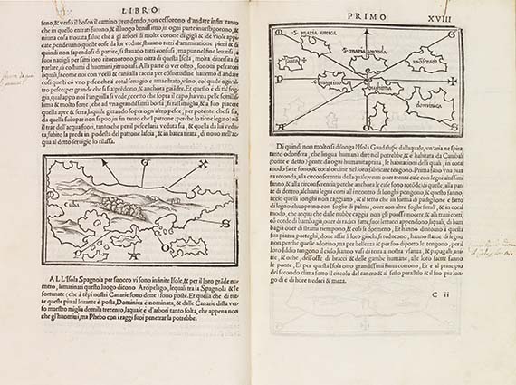
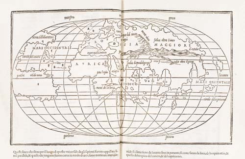
Venice: Nicolo d’Aristotile, detto Zoppino, June 1534. 4to in 2’s, 4’s and 6’s (292 x 200 mm). Woodcut title in red and black. 112 woodcut maps and cityscapes. Additionally one woodcut diagram describing the triangular form of Sicily (D4v). Early 19th-century Italian half vellum over marbled paper boards, gilt title to morocco lettering piece to spine, edges speckled red, paper pastedowns over contemporary bookseller’s waste in Latin integral to the boards. Condition: minor loss to gutter of full-sheet maps (except Venice, sig. F) repaired and with crease rebacked, sporadic soiling, foxing, and marginal dampstaining especially to gutter, tears and wormholes to a few leaves many of which repaired, tear to N1r and worming to colophon crudely repaired without significant loss to text. Provenance: New York Historical Society; early Italian note affixed to D1. Acquisition : sale, Sotheby’s New York, 29 January 1995, lot 35, $5,462.50. second edition of one of the earliest isolario's , the first to prominently feature transatlantic discoveries, with the earliest description in book form of pizarro's conquest of Peru (1532). The isolario , a cartographic genre originating in early 16th-century Italy, was as an illustrated travel guide to the Aegean Archipelago and the Levant. As such the maps show an attention to landscape rather than navigation. Each of Bordone’s three chapters refers to a geographical grouping of islands-in the western ocean, the Mediterranean, and the Indian Ocean, respectively-after the Ptolemaic model. The maps comprise: four full-sheet maps, of Europe and Northern Africa (sig. BB); the Aegean islands (sig. CC); the mappamundi, 420 x 292 mm, based on Francesco Rosselli’s 1508 oval projection (sig. DD); and Venice (sig. F), the maps of Europe and the Aegean islands with indices on the verso: two full-page woodcuts, showing the construction of a world map (BB1r) and a Ptolemaic projection of Northern Europe (A3v); quarter-page map of the terra de lavoratore , the first printed map of continental North America (A6v), showing the Azores and the fictitious islands Brasil and Asmaide; a small map of ciampagu , one of the earliest European representations of Japan , (N2r); three-quarter-page woodcut of tenochtitlan (mexico city) before the sack by Cortés (B4): four double-page woodcut maps printed in two blocks across opening, of southern Italy including Sicily (D6v-E1r); Crete (K2v-K3r); Attica and Macedonia (M2v-M3r); and Cyprus (M6v-N1r). The map showing the Terra de Lavoratore of North America and the northeastern coast of South America is so-called after the Portuguese explorer Juan Fernandes, “El Lavrador,” who landed at Greenland in 1500. It has been suggested that the map of Ciampagu is the earliest individual representation of Japan printed in Europe. Sabin 6419; Adams B-2482; Phillips, Atlases 163; Nordenskiöld Collection 1, 28.


.jpg)


Testen Sie LotSearch und seine Premium-Features 7 Tage - ohne Kosten!
Lassen Sie sich automatisch über neue Objekte in kommenden Auktionen benachrichtigen.
Suchauftrag anlegen