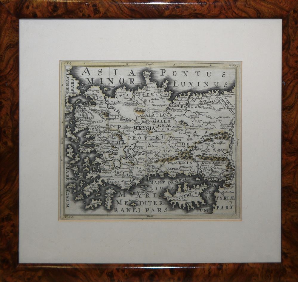
BLAEU, WILLEM (1571-1638) & BLAEU, JOAN (1598-1673).
BLAEU, WILLEM (1571-1638) & BLAEU, JOAN (1598-1673). Novus Atlas, Das ist, Welt-beschreibung, Mit schonen newen ausfuhrlichen Land-Taßeln in Kupffer gestochen und an den Tag gegeben. Amsterdam: Joan Blaeu 1645-47-48. 4 volumes in six parts, oblong 2° (512 x 605mm). Without text. 6 engraved titles with overslips in German, 336 engraved maps versos blank. (Lightly stained, browning to edges of pages, and occasional very light spotting, light dampstain to upper-left of Vol.I, part ii). Contemporary Dutch vellum, bound in plano. AN EXTREMELY RARE AND UNIQUE FORM OF BLAEU'S ATLAS NOVUS , BOUND IN SIX PARTS. Most unusually, all maps are bound in plano , and without accompanying text, and it is likely that this copy was especially ordered from Blaeu's Amsterdam workshop as an atlas factice . No copies in this form are recorded on the ABPC . The 4 volume Atlas Novus represents an intermediate stage in Joan Blaeu's strategy to devise the largest and most sumptuously decorated Atlas ever produced, the Atlas Maior of 1662. This 4 volume, Atlas Novus set includes most of the Blaeus' most attractive works, and several of these, such as the maps of Asia, Africa, and America are exceptionally strong impressions. The quality of the engraving is made ever more apparent by the general absence of folding and of hand-colouration. The regional maps of Italy and the county maps of England, are particularly fine, with clear imprints on thicker paper. The set has three supplemental maps, Vol.II, part ii includes two maps of the Strait of Magellan, including the earlier 1630 issue, and Vol.IV includes the addition of the maps of Ireland and Scotland. In most volumes, the order of the maps varies slightly from the published versions with text, in many cases the maps are arranged in a more sensible geographical form (ie. North to South). The set comprises: 1. Vol.I, Part i (1645):World & Northern Europe, 84 maps, Koeman 2:232.1 H&L (variant 2:231.1HJ). 2. Vol.I, Part ii (1647): Low Countries, 36 maps, the order varies slightly from Koeman 2:232.1 H&L. 3. Vol.II, Part I (1647), France, 48 maps, order varies from Koeman 2:232.2J. 4. Vol.II, Part ii (1647), Spain and the Continents, 46 maps, order varies from Koeman 2:232.2J. 5. Vol.III (1647): Italy & Greece, 62 maps, Koeman 2:232.3J. 6. Vol.IV (1648): England & Wales, 60 maps, Koeman 2:302Ka, but with two additional maps. (4)

.jpg)
.jpg?height=400)


.jpg)


Testen Sie LotSearch und seine Premium-Features 7 Tage - ohne Kosten!
Lassen Sie sich automatisch über neue Objekte in kommenden Auktionen benachrichtigen.
Suchauftrag anlegen