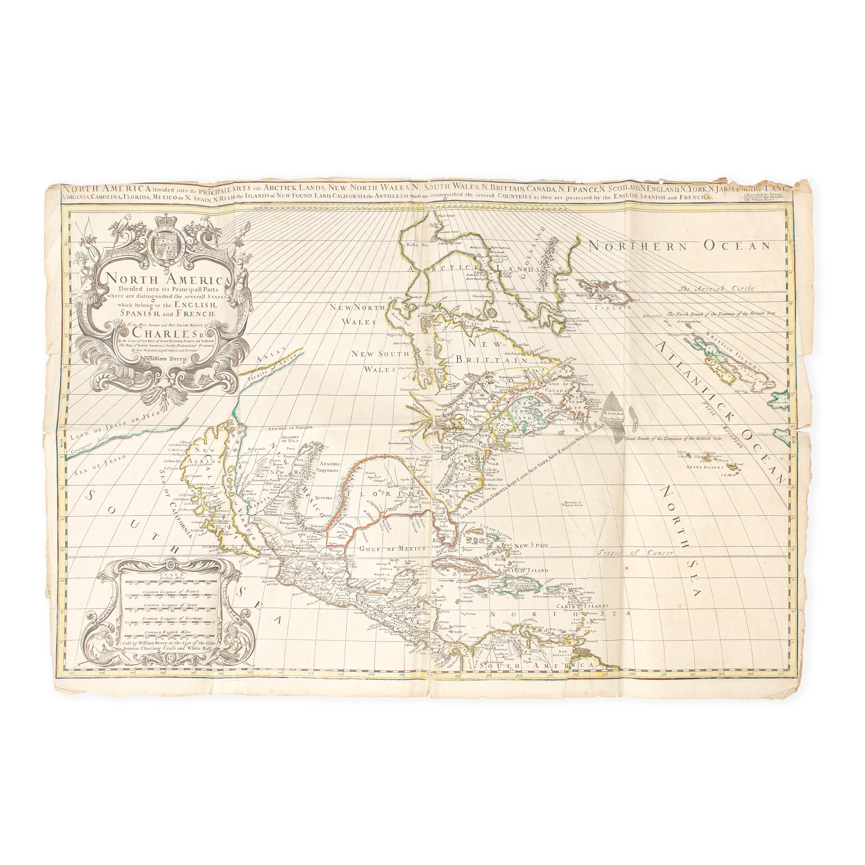
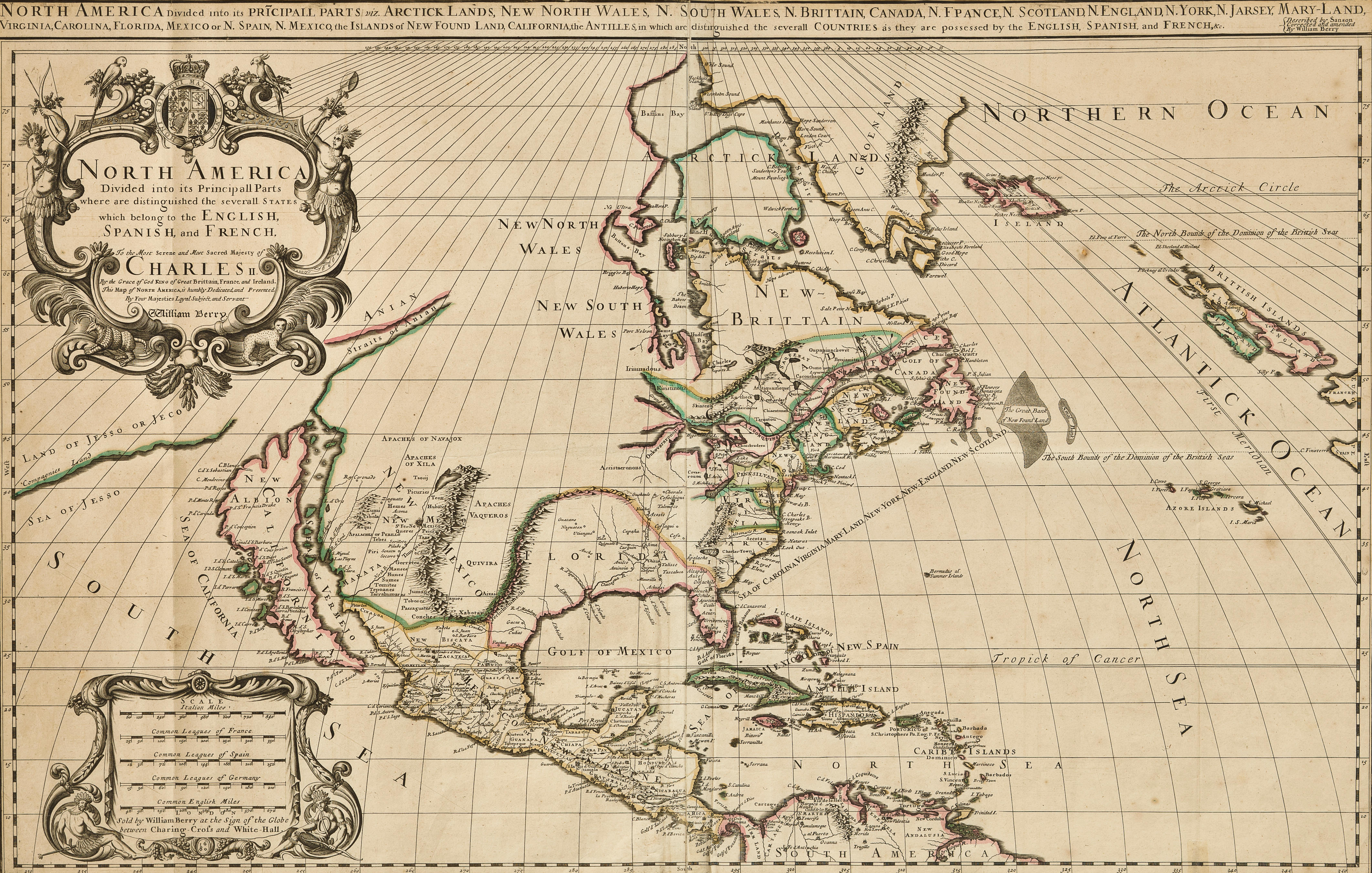
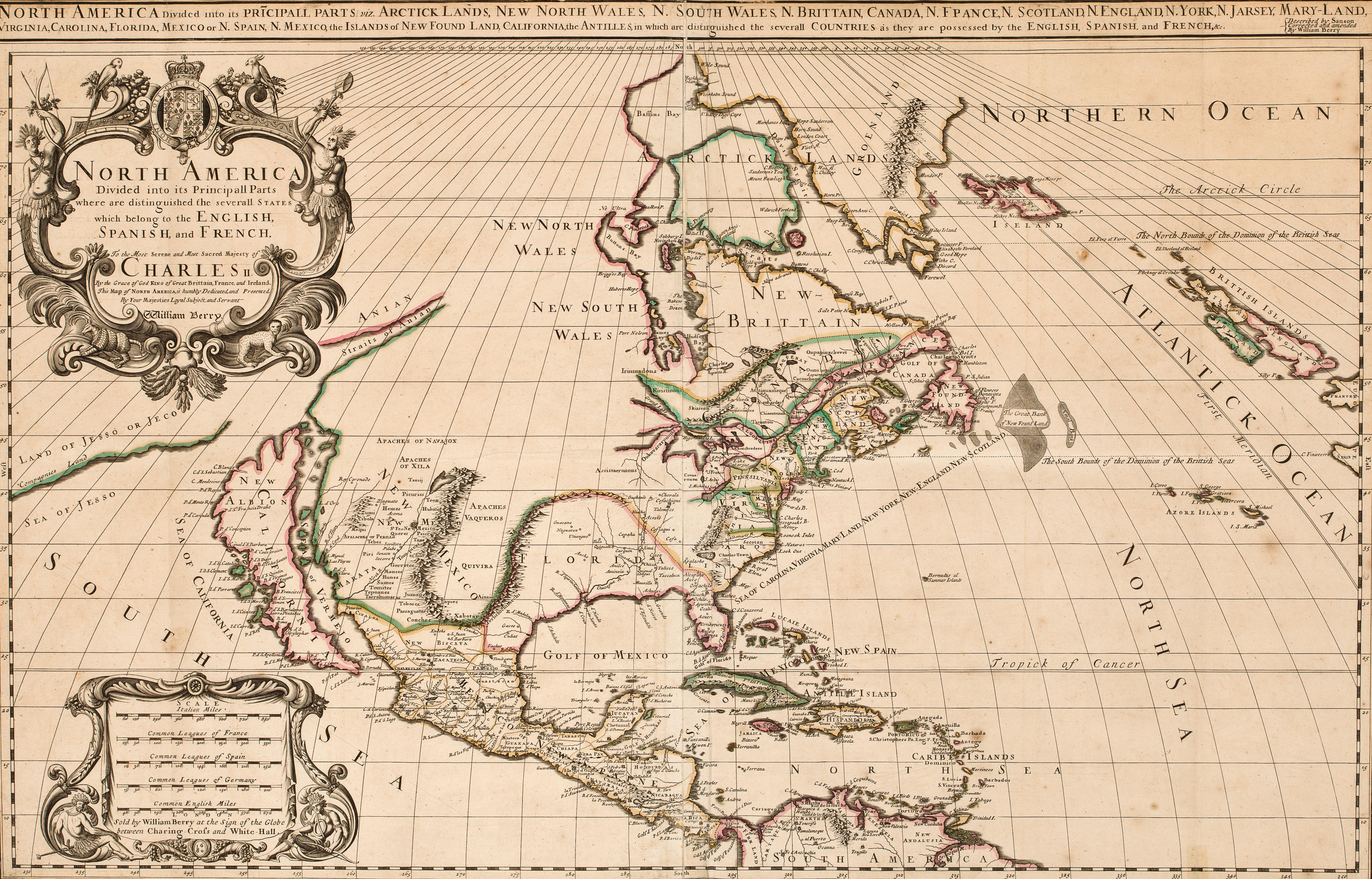
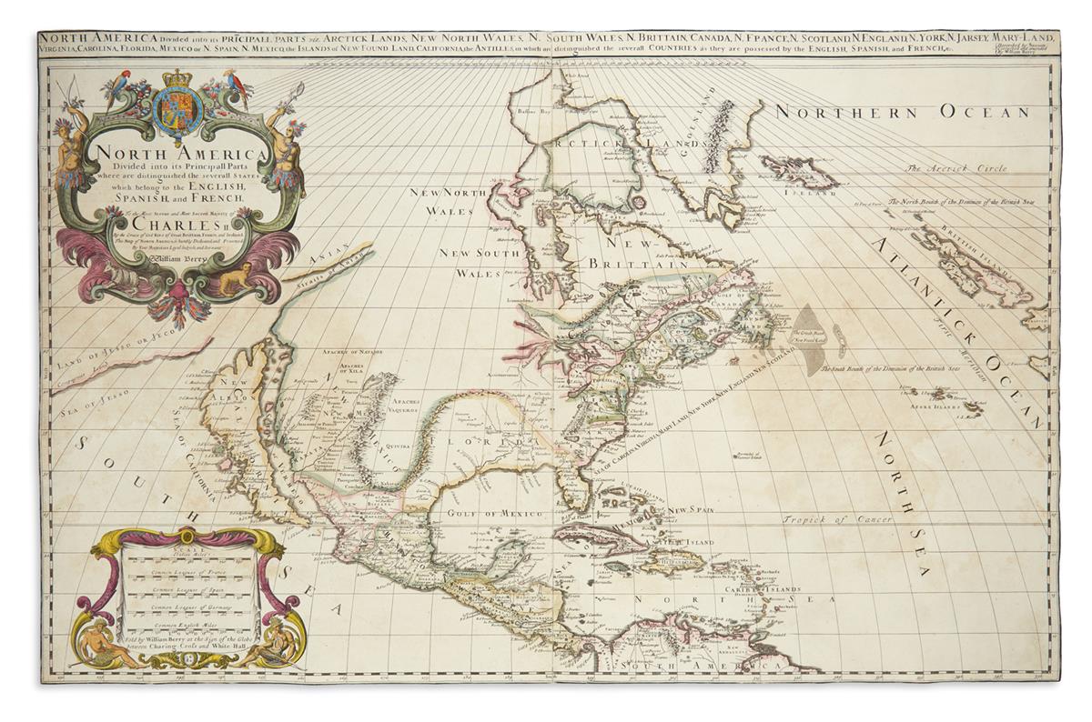
North America Divided into its Principall Parts where are distinguished the severall States which belong to the English, Spanish, and French.
London: 1680 [but c. 1681]. Two-sheet engraved map, hand-colored in outline (580 x 900 mm). Additional strip title across the top, “North America Divided into its Principall Parts viz. Arctick Lands, New North Wales, N. South Wales, N. Britain, Canada, N. France, Scotland, N. England, N. York, N. Jarsey, Mary-Land, Virginia, Carolina, Florida, Mexico or N. Spain, N. Mexico, the Islands of New Found Land, California, the Antilles [etc].” Condition : expert restoration at the sheet edges with minor losses filled generally along the neat line. the first map of north america to name “pennsilvania.” Issued as a separate publication, the map is derived from an earlier French map by Sanson. While dated 1680 within the cartouche at the bottom of the scale of miles, i.e. prior to William Penn’s grant, the map identifies “Pensilvania.” However, it is not included in the strip title at the top of the map (which names virtually every other place in North America). Although the coloring shows it as a separate colony, there is no engraved boundary line between it and New York and there is evidence of erasures on the plate. Philadelphia is not identified on the map. All of the above suggests that the map was released by Berry very shortly after Penn’s establishment of the colony. Interestingly, Burden suggests that this fine map could have been engraved be Herman Moll making it among the earliest examples of his work. The only copy we could locate at auction appeared in the fine cartographic collection of Howard E. Welsh (Sotheby’s New York, 13 June 1991, lot 431). Burden II: 532; Cramer, “Placing Pennsylvania on the Map” on www.mapsofpa.com; McCorke 680.1.






Testen Sie LotSearch und seine Premium-Features 7 Tage - ohne Kosten!
Lassen Sie sich automatisch über neue Objekte in kommenden Auktionen benachrichtigen.
Suchauftrag anlegen