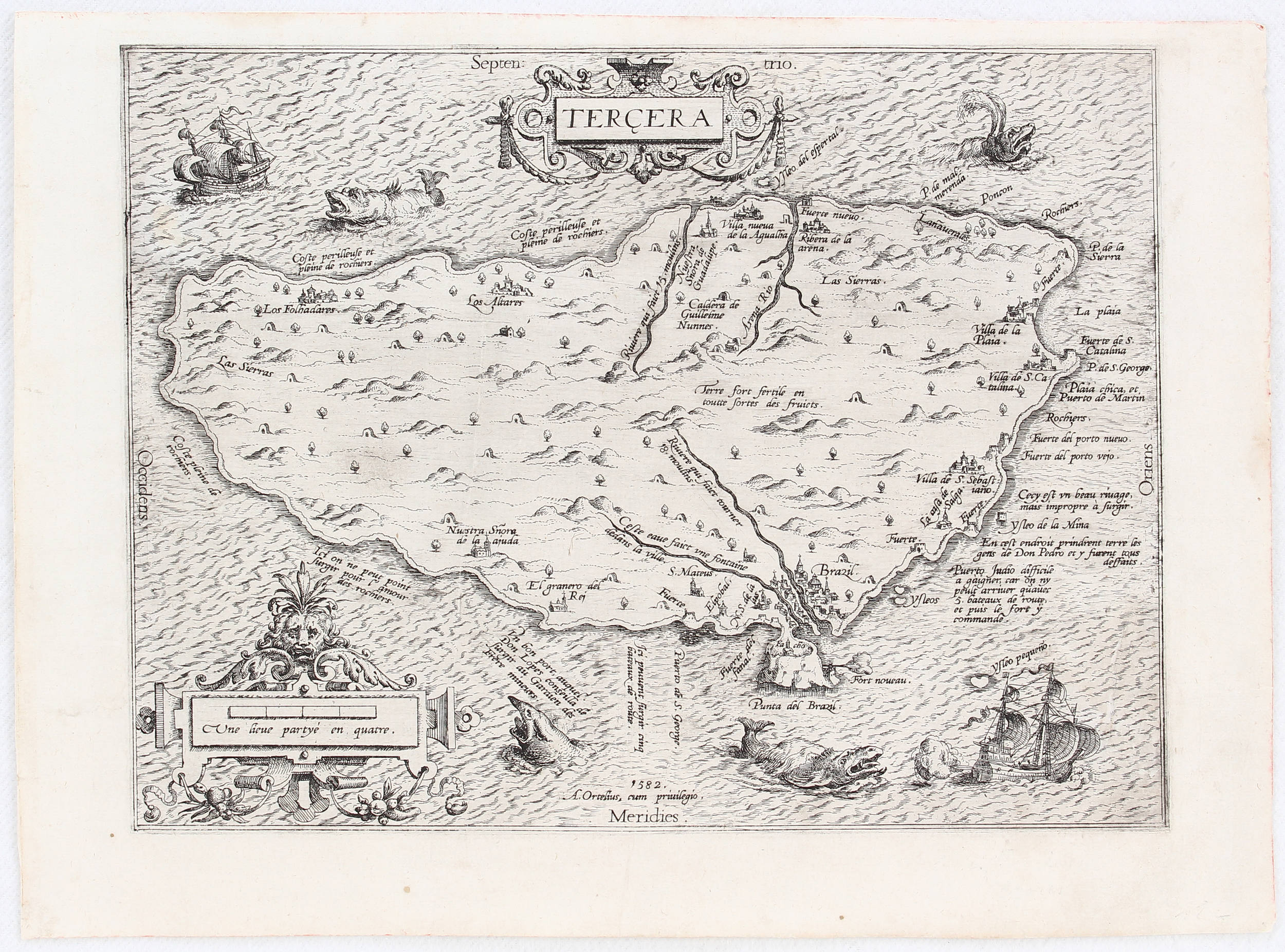
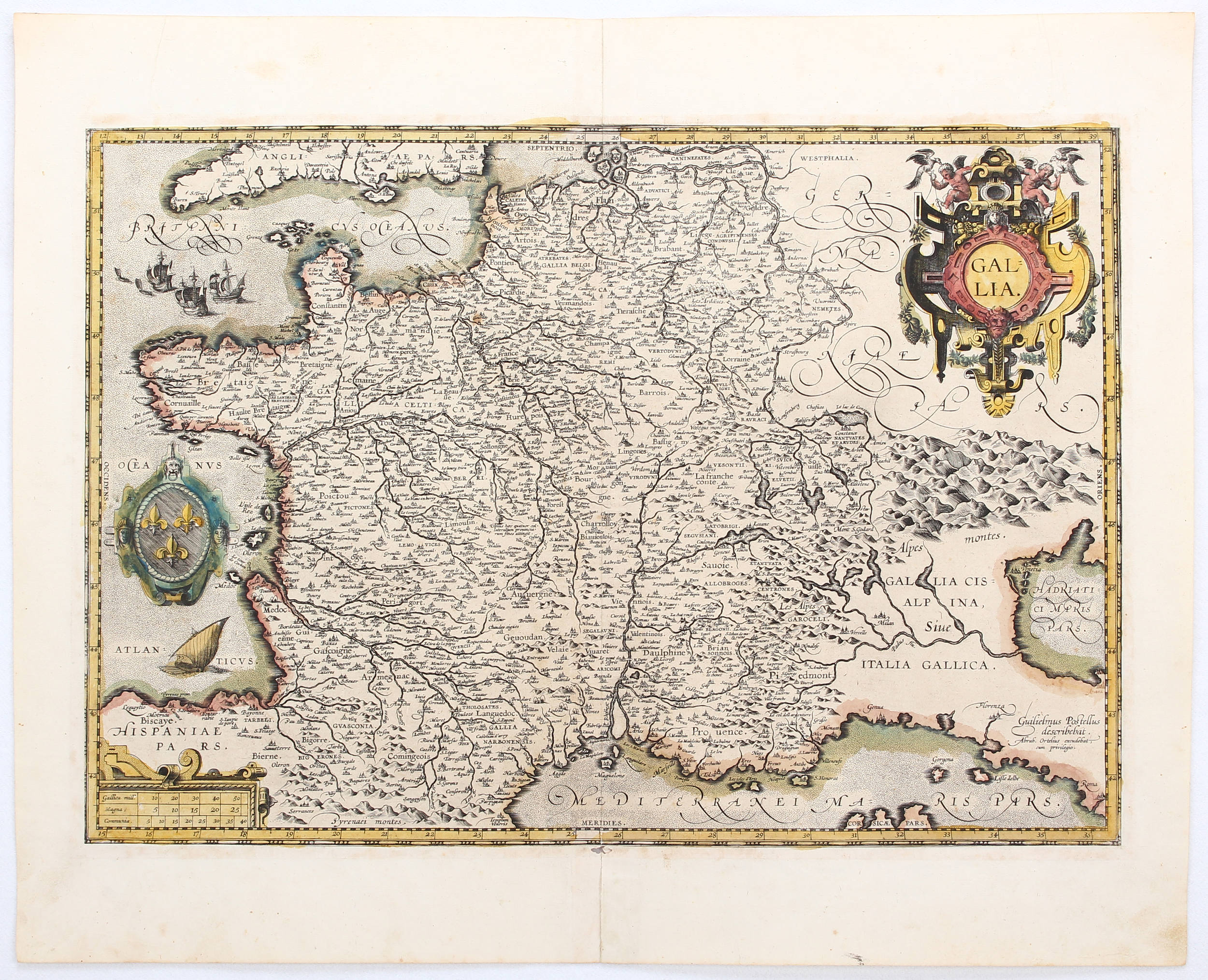
Asiae /Europae /Americae /Africae. Anvers, 1595. Beau col. ancien. Ensemble de 4 continents parfaitement homogène dans un magnifique coloris d'époque. Les lettrines au verso sont également en coloris d'époque. - Homogenous set of 4 continents beautifully original coloured with ornamental initials on verso also originaly coloured. Repair of split lower part center fold only in the margin. Marginal discolouration along centre fold. 370 x 500 mm. * Splendide ensemble comprenant les 4 continents en coloris d'époque d'une très grande fraîcheur. C'est la 3e version de la carte d'Amérique, elle a été entièrement regravée et ensuite publiée dans l'atlas à partir de 1588. Elle a été corrigée et la protubérance au niveau du Chili a été retirée. En outre, c'est la seule des 3 versions à porter la signature d'Ortelius. Les 4 cartes proviennent du même atlas et ont le même splendide coloris d'époque. - Americae : In 1587, a new plate was engraved which appeared in editions from 1588 onwards. Of the three maps, this one is perhaps the most important. It is the most geographically advanced one, with the bulge in Chile removed, the Salomon Islands inserted and additional names, including C.Mendocino, added to the north west coast. Furthermore, this is the only one of the three plates which is signed by Ortelius as responsible for the preparation of the map. /Africae : Ortelius' depiction of Africa is based on Gastaldi's rare wall map of 1564, though with modifications such as the more pointed southern tip of the continent. The Ptolemaic notion of two lakes in central Africa as the source of the Nile is maintained./ Asiae : Ortelius' fine map of Asia well represents the continent at a time when Europeans were expanding their power in the far east. The Indian subcontinent and Malaysian peninsula are easily recognizable. Ceylon and Sumatra are correctly placed. The Philippines are distorted and Japan is too far north and incorrectly orientated, with the embryonic outline of the three main islands and with the Ryukus and Taiwan appearing as a tail of islands to the south of the archipelago./ Europae : Somewhat distorted land masses; vignette of Europe being carried off by the bull (Zeus). The second plate with title "AFRICAE PARS" now in Italic lettering. All 4 maps are from the same atlas with Latin text on verso (1595). - Van den Broecke, Ortelius Atlas maps: 5, 7, 8, 11 MAPPEMONDES - CONTINENTS
Asiae /Europae /Americae /Africae. Anvers, 1595. Beau col. ancien. Ensemble de 4 continents parfaitement homogène dans un magnifique coloris d'époque. Les lettrines au verso sont également en coloris d'époque. - Homogenous set of 4 continents beautifully original coloured with ornamental initials on verso also originaly coloured. Repair of split lower part center fold only in the margin. Marginal discolouration along centre fold. 370 x 500 mm. * Splendide ensemble comprenant les 4 continents en coloris d'époque d'une très grande fraîcheur. C'est la 3e version de la carte d'Amérique, elle a été entièrement regravée et ensuite publiée dans l'atlas à partir de 1588. Elle a été corrigée et la protubérance au niveau du Chili a été retirée. En outre, c'est la seule des 3 versions à porter la signature d'Ortelius. Les 4 cartes proviennent du même atlas et ont le même splendide coloris d'époque. - Americae : In 1587, a new plate was engraved which appeared in editions from 1588 onwards. Of the three maps, this one is perhaps the most important. It is the most geographically advanced one, with the bulge in Chile removed, the Salomon Islands inserted and additional names, including C.Mendocino, added to the north west coast. Furthermore, this is the only one of the three plates which is signed by Ortelius as responsible for the preparation of the map. /Africae : Ortelius' depiction of Africa is based on Gastaldi's rare wall map of 1564, though with modifications such as the more pointed southern tip of the continent. The Ptolemaic notion of two lakes in central Africa as the source of the Nile is maintained./ Asiae : Ortelius' fine map of Asia well represents the continent at a time when Europeans were expanding their power in the far east. The Indian subcontinent and Malaysian peninsula are easily recognizable. Ceylon and Sumatra are correctly placed. The Philippines are distorted and Japan is too far north and incorrectly orientated, with the embryonic outline of the three main islands and with the Ryukus and Taiwan appearing as a tail of islands to the south of the archipelago./ Europae : Somewhat distorted land masses; vignette of Europe being carried off by the bull (Zeus). The second plate with title "AFRICAE PARS" now in Italic lettering. All 4 maps are from the same atlas with Latin text on verso (1595). - Van den Broecke, Ortelius Atlas maps: 5, 7, 8, 11 MAPPEMONDES - CONTINENTS
.jpg?w=400)

.jpg)


.jpg)
.jpg)


.jpg)


Testen Sie LotSearch und seine Premium-Features 7 Tage - ohne Kosten!
Lassen Sie sich automatisch über neue Objekte in kommenden Auktionen benachrichtigen.
Suchauftrag anlegen