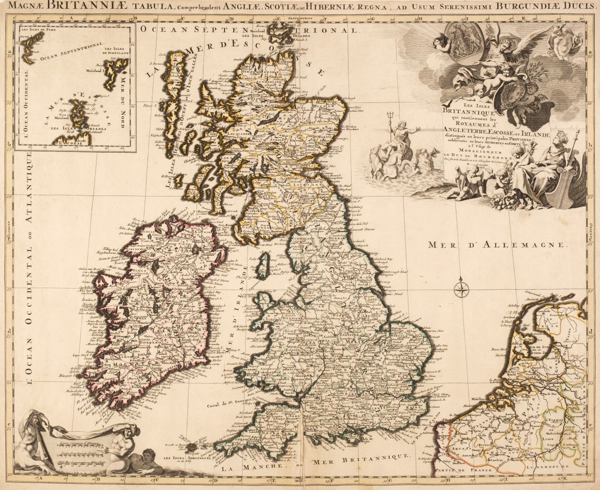
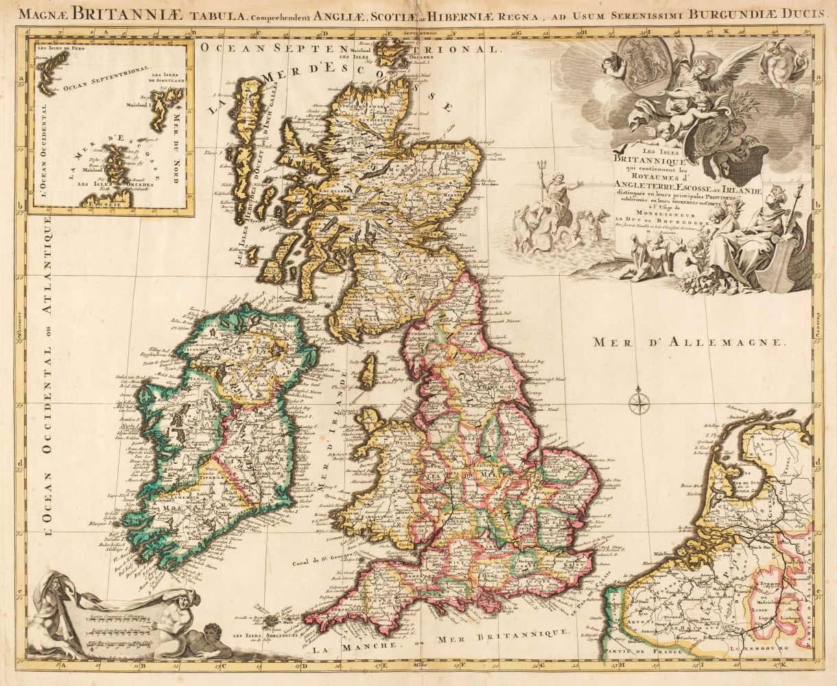
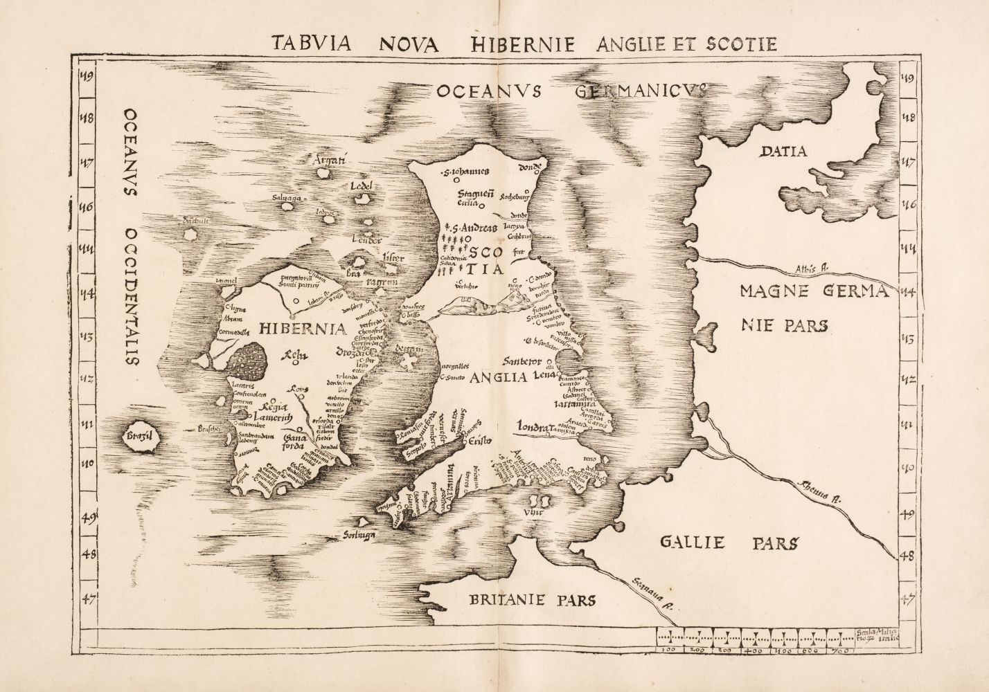
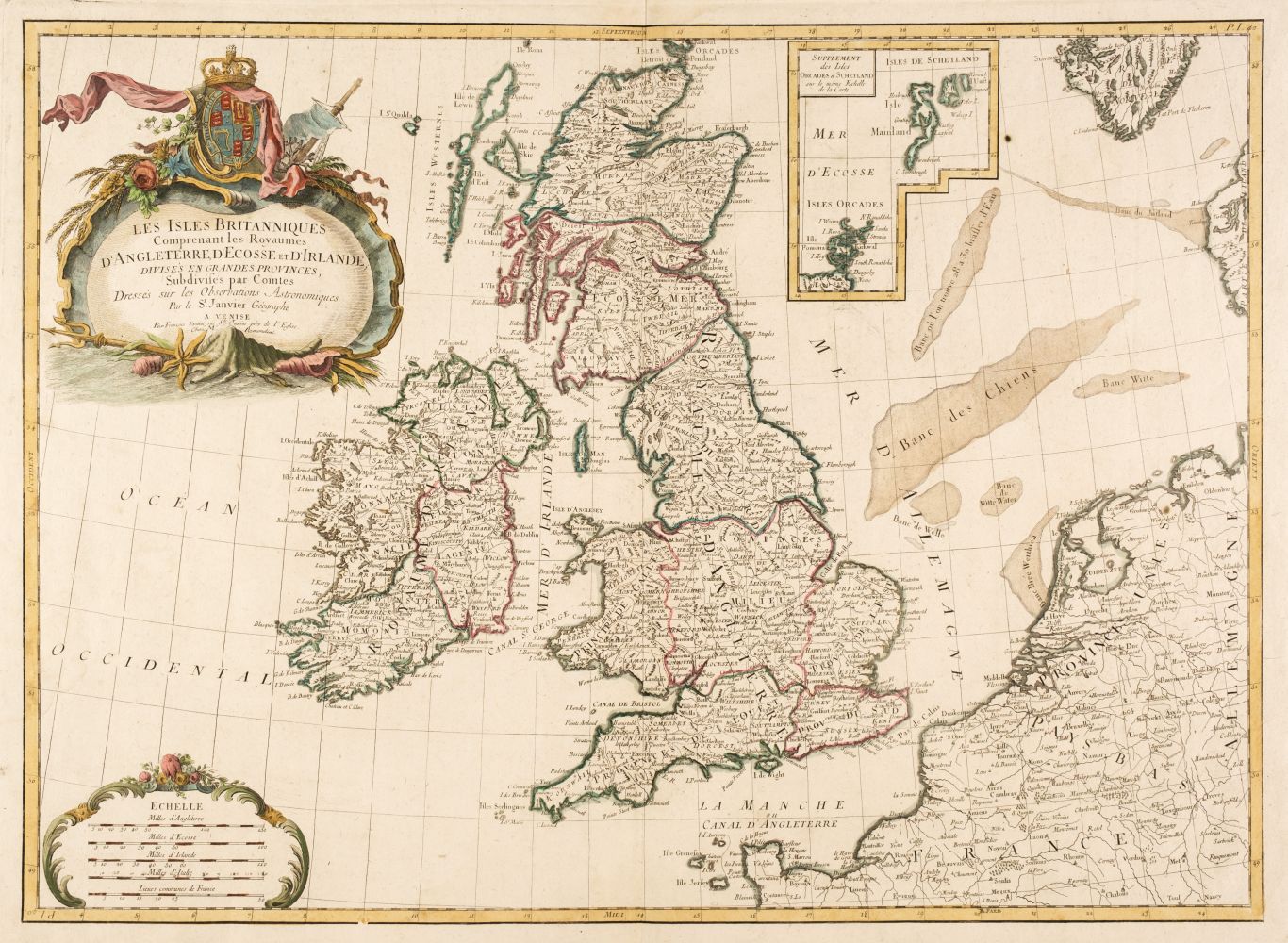
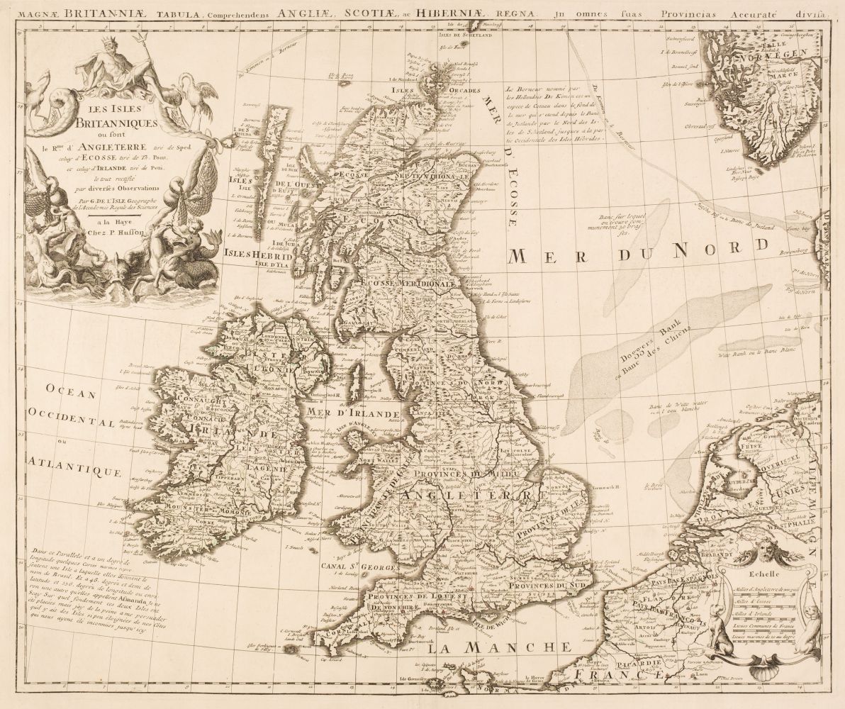
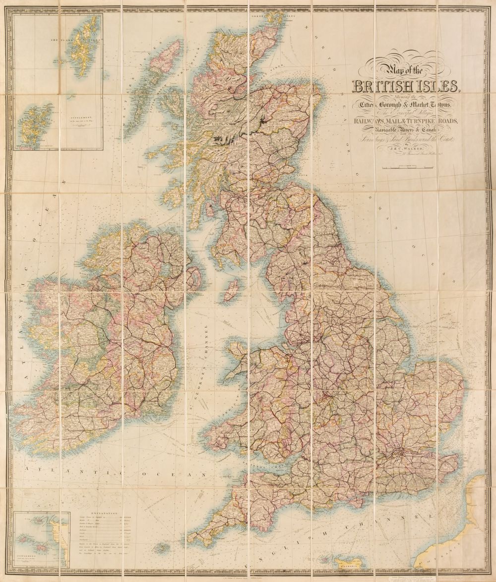
Allard (Carel), Regnorum Magnae Britanniae sive Angliae Scotiae op nec non Hiberniae, published Amsterdam, circa 1695, engraved map with contemporary outline colouring, inset map of the Orkney Islands, some staining and dust soiling, central fold split, some marginal fraying and closed tears, 510 x 595 mm, together with Homann (Johann Baptist), Magna Britannia complectens Anglise, Scotiae et Hiberniae Regna..., published Nuremberg, circa 1720, engraved map with contemporary outline colouring, some staining and dust soiling, central fold partially split, 485 x 580 mm, with De Wit (Frederick), Nova totius Anglia, Scotiae et Hiberniae..., circa 1675, engraved map with contemporary hand colouring, toned overall 485 x 570 mm, with another six maps of the British Isles and England & Wales, including examples by Pigot, Wyld, Bowen, Jaillot and Enouy, various sizes and condition The first described map. R. W. Shirley, Printed Maps of the British Isles 1650 - 1750, Allard. 4 state 2. (8)
Allard (Carel), Regnorum Magnae Britanniae sive Angliae Scotiae op nec non Hiberniae, published Amsterdam, circa 1695, engraved map with contemporary outline colouring, inset map of the Orkney Islands, some staining and dust soiling, central fold split, some marginal fraying and closed tears, 510 x 595 mm, together with Homann (Johann Baptist), Magna Britannia complectens Anglise, Scotiae et Hiberniae Regna..., published Nuremberg, circa 1720, engraved map with contemporary outline colouring, some staining and dust soiling, central fold partially split, 485 x 580 mm, with De Wit (Frederick), Nova totius Anglia, Scotiae et Hiberniae..., circa 1675, engraved map with contemporary hand colouring, toned overall 485 x 570 mm, with another six maps of the British Isles and England & Wales, including examples by Pigot, Wyld, Bowen, Jaillot and Enouy, various sizes and condition The first described map. R. W. Shirley, Printed Maps of the British Isles 1650 - 1750, Allard. 4 state 2. (8)







Testen Sie LotSearch und seine Premium-Features 7 Tage - ohne Kosten!
Lassen Sie sich automatisch über neue Objekte in kommenden Auktionen benachrichtigen.
Suchauftrag anlegen