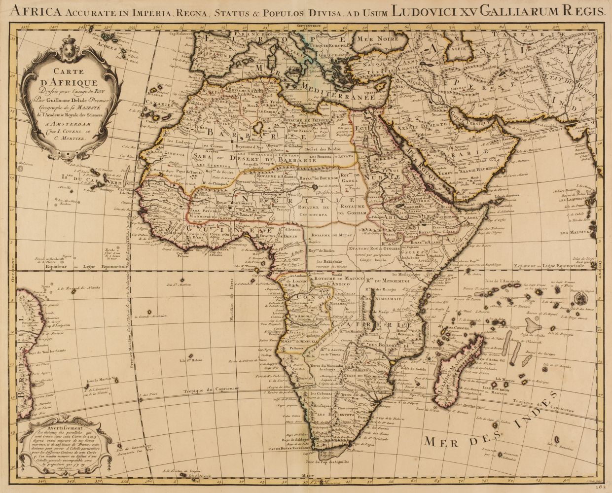
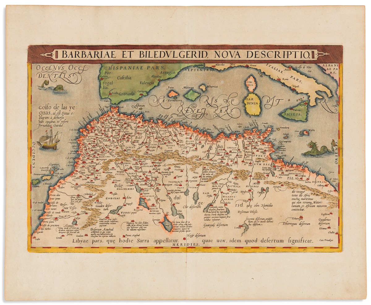
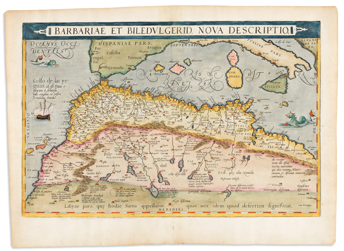
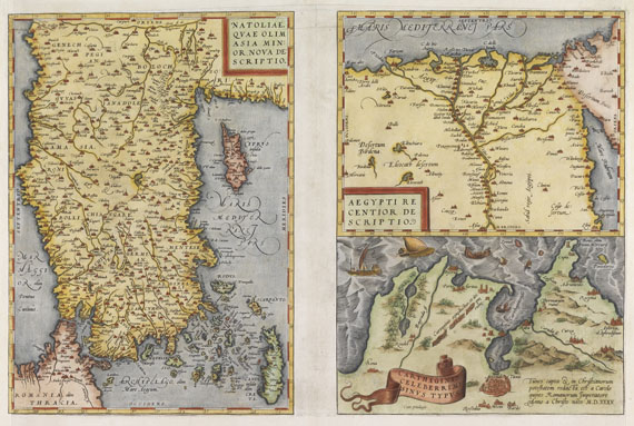
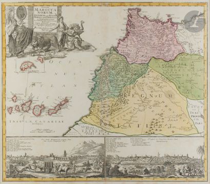
Africa.- Ortelius (Abraham) Barbariae et Biledulgerid, Nova Descriptio, north coast of Africa, from Morocco to Libya and the western Mediterranean showing parts of Spain and Portugal, the Balearic Islands, Corsica, Sardinia, southern Italy and Sicily, engraved map, sheet 350 x 515 mm. (13 3/4 x 20 1/4 in), laid onto paper support with repairs to central vertical fold, with small areas of loss to upper and lower left corners, unframed, [Antwerp, 1571]; together with 7 other maps of northern Africa, including a Hondius Fessae et Marocchi Regna, of Fez and Morocco, Delisle's maps of Western Africa Carte de la Barbarie de la Nigritie et de la Guinée, and four others of Libya, Algeria, and Barbary, by Neele, Smith, and Samuel Dunn, engraved maps, all but the Hondius with some outline hand-colouring, various sizes, largest 530 x 790 mm. (20 3/4 x 31 in), all unframed, 18th and 19th century (8).
Africa.- Ortelius (Abraham) Barbariae et Biledulgerid, Nova Descriptio, north coast of Africa, from Morocco to Libya and the western Mediterranean showing parts of Spain and Portugal, the Balearic Islands, Corsica, Sardinia, southern Italy and Sicily, engraved map, sheet 350 x 515 mm. (13 3/4 x 20 1/4 in), laid onto paper support with repairs to central vertical fold, with small areas of loss to upper and lower left corners, unframed, [Antwerp, 1571]; together with 7 other maps of northern Africa, including a Hondius Fessae et Marocchi Regna, of Fez and Morocco, Delisle's maps of Western Africa Carte de la Barbarie de la Nigritie et de la Guinée, and four others of Libya, Algeria, and Barbary, by Neele, Smith, and Samuel Dunn, engraved maps, all but the Hondius with some outline hand-colouring, various sizes, largest 530 x 790 mm. (20 3/4 x 31 in), all unframed, 18th and 19th century (8).


Testen Sie LotSearch und seine Premium-Features 7 Tage - ohne Kosten!
Lassen Sie sich automatisch über neue Objekte in kommenden Auktionen benachrichtigen.
Suchauftrag anlegen