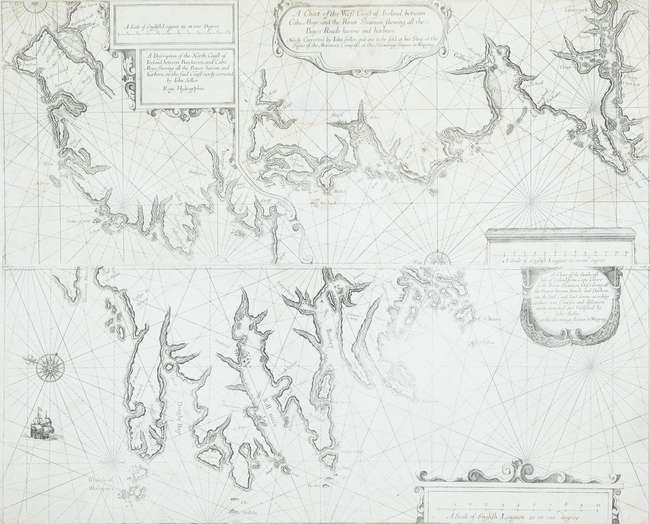
Title: A Chart shewing part of the Coast of N.W. America with the Tracks of His Majesty's Sloop Discovery and Armed Tender Chatham, Commanded by George Vancouver Esqr. and prepared under his immediate inspection by Lieut. Joseph Baker in which the Continental Shore has been correctly traced and determined from Latd. 38o.15' N. and Longd. 237o.27' E. to Latd. 45o.46' N. and Long. 236o.15' E. at the different periods shewn by the Track Author: Vancouver, George Place London Publisher: J. Edwards Date: 1798 Description: Copper-engraved chart. 77.4x62 cm. (30½x24½"). The coastline of northern California and much of Oregon, with Cape Mendocino, Pt. St. George, Cape Orford, Cape Gregory, Cape Foulweather, Cape Lookout, etc. A little of the Columbia River is visible, but not its mouth, and there is an inset of the Bay of Trinidad. This is Plate 3 from the atlas volume of Vancouver's Voyage of Discovery to the North Pacific Ocean, with folds. Wagner, NW Coast, 853. Lot Amendments Condition: Offsetting and some toning and soiling, a few short crease spits, very good. Item number: 150621
Title: A Chart shewing part of the Coast of N.W. America with the Tracks of His Majesty's Sloop Discovery and Armed Tender Chatham, Commanded by George Vancouver Esqr. and prepared under his immediate inspection by Lieut. Joseph Baker in which the Continental Shore has been correctly traced and determined from Latd. 38o.15' N. and Longd. 237o.27' E. to Latd. 45o.46' N. and Long. 236o.15' E. at the different periods shewn by the Track Author: Vancouver, George Place London Publisher: J. Edwards Date: 1798 Description: Copper-engraved chart. 77.4x62 cm. (30½x24½"). The coastline of northern California and much of Oregon, with Cape Mendocino, Pt. St. George, Cape Orford, Cape Gregory, Cape Foulweather, Cape Lookout, etc. A little of the Columbia River is visible, but not its mouth, and there is an inset of the Bay of Trinidad. This is Plate 3 from the atlas volume of Vancouver's Voyage of Discovery to the North Pacific Ocean, with folds. Wagner, NW Coast, 853. Lot Amendments Condition: Offsetting and some toning and soiling, a few short crease spits, very good. Item number: 150621


Testen Sie LotSearch und seine Premium-Features 7 Tage - ohne Kosten!
Lassen Sie sich automatisch über neue Objekte in kommenden Auktionen benachrichtigen.
Suchauftrag anlegen